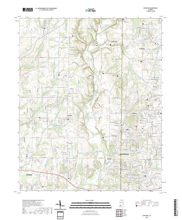
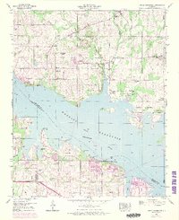
2024 Map of Capshaw
USGS Topo · Published 2024This historical map portrays the area of Capshaw in 2024, primarily covering Limestone County as well as portions of Madison. Featuring a scale of 1:24000, this map provides a highly detailed snapshot of the terrain, roads, buildings, counties, and historical landmarks in the Capshaw region at the time. Published in 2024, it is the sole known edition of this map.
Map Details
Editions of this 2024 Capshaw Map
This is the sole edition of this map. No revisions or reprints were ever made.
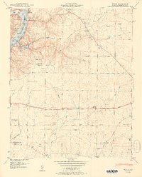
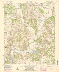
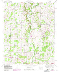
Historical Maps of Limestone County Through Time
31 maps found

1936 Cairo
Limestone County, AL

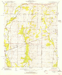
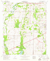
1936 Capshaw
Limestone County, AL

1936 Greenbrier
Limestone County, AL

1936 Ripley
Limestone County, AL

1936 Salem
Limestone County, AL

1936 Stewart Cross Roads
Limestone County, AL

1936 Tanner
Limestone County, AL

1936 Union Hill
Limestone County, AL
1938 Greenbrier
Limestone County, AL

1938 Tanner
Limestone County, AL
1948 Ripley
Limestone County, AL

1948 Salem
Limestone County, AL

1948 Union Hill
Limestone County, AL
1950 Cairo
Limestone County, AL
1950 Jones Crossroads
Limestone County, AL
1951 Ripley
Limestone County, AL
1951 Salem
Limestone County, AL

1951 Union Hill
Limestone County, AL
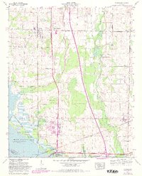
1958 Capshaw
Limestone County, AL
1963 Greenbrier
Limestone County, AL
1963 Tanner
Limestone County, AL
1975 Greenbrier
Limestone County, AL

1976 Jones Crossroads
Limestone County, AL
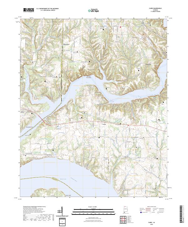
2024 Cairo
Limestone County, AL
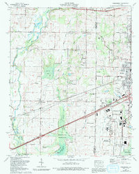
2024 Capshaw
Limestone County, AL
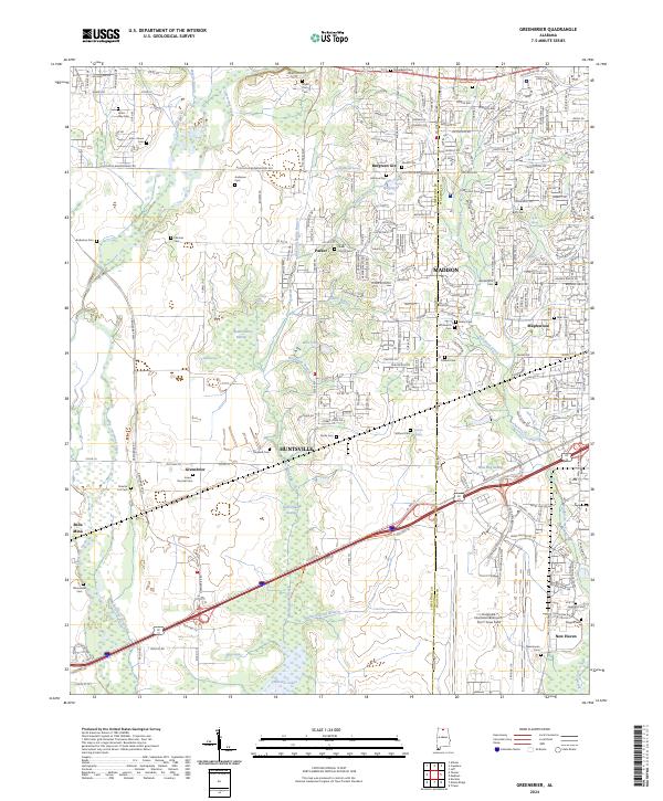
2024 Greenbrier
Limestone County, AL

2024 Jones Crossroads
Limestone County, AL
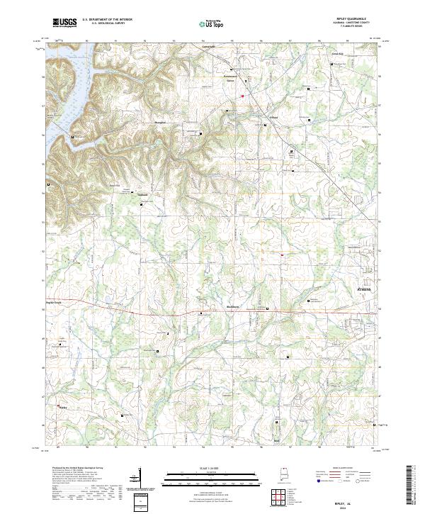
2024 Ripley
Limestone County, AL
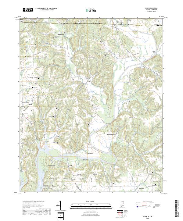
2024 Salem
Limestone County, AL
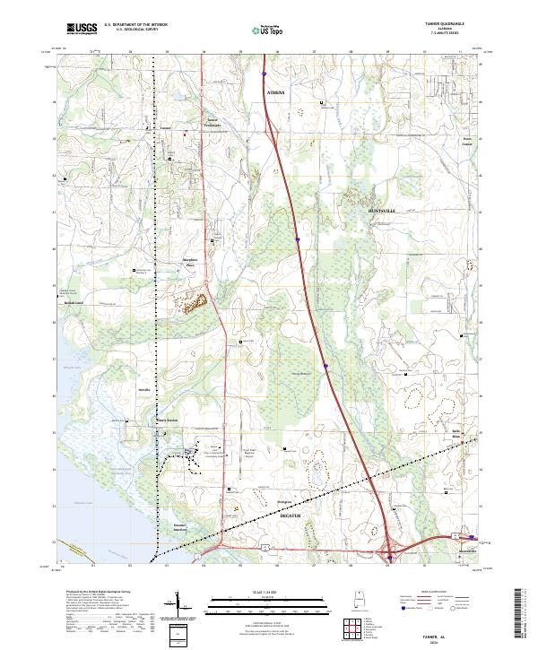
2024 Tanner
Limestone County, AL

2024 Union Hill
Limestone County, AL