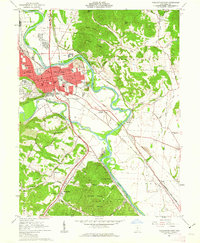
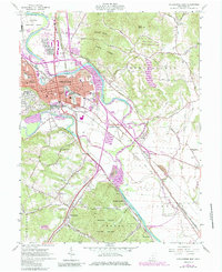
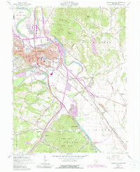
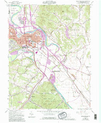
1961 Map of Chillicothe East
USGS Topo · Published 1963About this map
The Scioto River valley defines the landscape of this 1961 survey, where the regional rail network of the Norfolk and Western, Baltimore and Ohio, and Chesapeake and Ohio railroads converge at Chillicothe. This industrial and transit hub is anchored by a dense street grid featuring St Marys Sch and the local Courthouse. The city is flanked by the significant elevations of Mount Logan and Mount Eyes to the north, while the Federal Reformatory occupies the river plain to the northwest.
Find a feature on this map
62 named features on this map. Tap any name to fly to it.
Don’t see what you’re looking for? This feature index may not catch every label — zoom into the map to look around manually.
Map Details
Editions of this 1961 Chillicothe East Map
7 editions found
Other maps of this area

1906 · Waverly
USGS Topo · 1:62,500

1906 · Chillicothe
USGS Topo · 1:62,500

1908 · Chillicothe
USGS Topo · 1:62,500

1908 · Waverly
USGS Topo · 1:62,500

1912 · Roxabell
USGS Topo · 1:62,500

1914 · Roxabell
USGS Topo · 1:62,500

1915 · Piketon
USGS Topo · 1:62,500

1917 · Piketon
USGS Topo · 1:62,500

1944 · Piketon
USGS Topo · 1:62,500

1944 · Roxabell
USGS Topo · 1:62,500