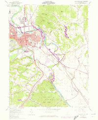
1961 Map of Chillicothe East
USGS Topo · Published 1972About this map
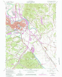
The Scioto River dominates this mid-century landscape, carving a broad valley where industrial infrastructure meets the steep rising terrain of Mount Logan and Mount Eyes. The city of Chillicothe serves as the focal point, showing a dense grid of neighborhoods, many schools such as Tiffin Sch, and civic landmarks like the Courthouse and City Hall. To the north, the sprawling grounds of the Federal Reformatory sit near the Sky Park Airport, while the southern reaches transition into the heavily wooded Scioto Trail State Forest. The era's transportation network is particularly dense here, featuring a complex intersection of the Norfolk and Western, Chesapeake and Ohio, and Baltimore and Ohio railroads. Small outlying settlements like Massieville and Renick Junction are recorded alongside numerous family cemeteries including Hamilton Cem and Malone Cem.
Find a feature on this map
72 named features on this map. Tap any name to fly to it.
Don’t see what you’re looking for? This feature index may not catch every label — zoom into the map to look around manually.
Map Details
Editions of this 1961 Chillicothe East Map
7 editions found
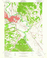
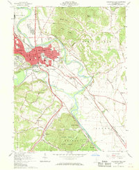
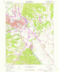
Other maps of this area

1906 · Waverly
USGS Topo · 1:62,500

1906 · Chillicothe
USGS Topo · 1:62,500

1908 · Chillicothe
USGS Topo · 1:62,500

1908 · Waverly
USGS Topo · 1:62,500

1912 · Roxabell
USGS Topo · 1:62,500

1914 · Roxabell
USGS Topo · 1:62,500

1915 · Piketon
USGS Topo · 1:62,500

1917 · Piketon
USGS Topo · 1:62,500

1944 · Piketon
USGS Topo · 1:62,500

1944 · Roxabell
USGS Topo · 1:62,500