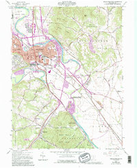
1961 Map of Chillicothe East
USGS Topo · Published 1995About this map
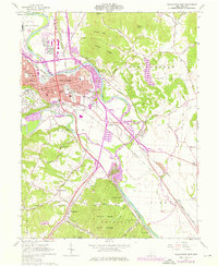
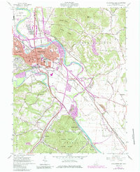
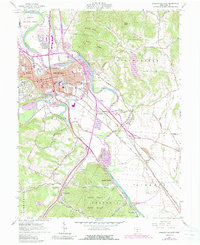
Chillicothe serves as the focal point for this survey, situated at the confluence of the Scioto River and Paint Creek. The map documents a complex landscape of early indigenous earthworks and modern industrial development, prominently featuring the Hopewell Culture National Historical Park. North of the city, the Chillicothe Correctional Institute and Sky Park Airport represent significant 20th-century land use, while the city's grid shows institutional landmarks like the Courthouse and City Hall.
Find a feature on this map
65 named features on this map. Tap any name to fly to it.
Don’t see what you’re looking for? This feature index may not catch every label — zoom into the map to look around manually.
Map Details
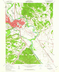
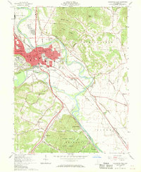
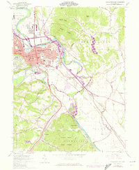
Editions of this 1961 Chillicothe East Map
7 editions found
Other maps of this area

1906 · Waverly
USGS Topo · 1:62,500

1906 · Chillicothe
USGS Topo · 1:62,500

1908 · Chillicothe
USGS Topo · 1:62,500

1908 · Waverly
USGS Topo · 1:62,500

1912 · Roxabell
USGS Topo · 1:62,500

1914 · Roxabell
USGS Topo · 1:62,500

1915 · Piketon
USGS Topo · 1:62,500

1917 · Piketon
USGS Topo · 1:62,500

1944 · Piketon
USGS Topo · 1:62,500

1944 · Roxabell
USGS Topo · 1:62,500