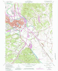
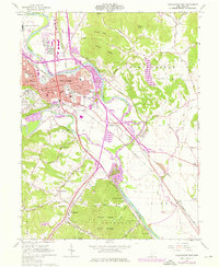
1961 Map of Chillicothe East
USGS Topo · Published 1985About this map
Chillicothe serves as the central hub of this Ross County survey, where the Scioto River meets Paint Creek in a valley defined by significant infrastructure and topography. The landscape is anchored by massive landmarks such as the Chillicothe Correctional Institute and the soaring peaks of Mount Logan and Mount Eyes within the Great Seal State Park. A dense rail network featuring the Norfolk and Western, Baltimore and Ohio, and Chesapeake and Ohio railroads converges on the city, illustrating its importance as a regional transportation junction.
Find a feature on this map
63 named features on this map. Tap any name to fly to it.
Don’t see what you’re looking for? This feature index may not catch every label — zoom into the map to look around manually.
Map Details
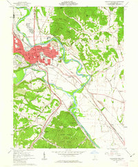
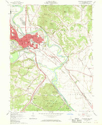
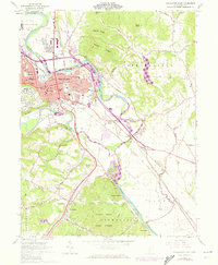
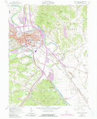
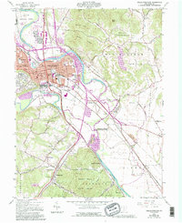
Editions of this 1961 Chillicothe East Map
7 editions found
Other maps of this area

1906 · Waverly
USGS Topo · 1:62,500

1906 · Chillicothe
USGS Topo · 1:62,500

1908 · Chillicothe
USGS Topo · 1:62,500

1908 · Waverly
USGS Topo · 1:62,500

1912 · Roxabell
USGS Topo · 1:62,500

1914 · Roxabell
USGS Topo · 1:62,500

1915 · Piketon
USGS Topo · 1:62,500

1917 · Piketon
USGS Topo · 1:62,500

1944 · Piketon
USGS Topo · 1:62,500

1944 · Roxabell
USGS Topo · 1:62,500