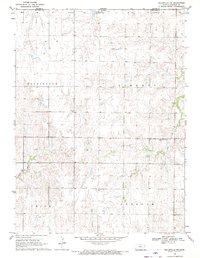
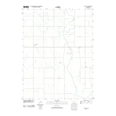
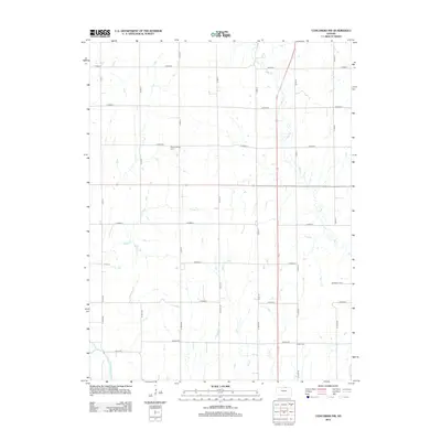
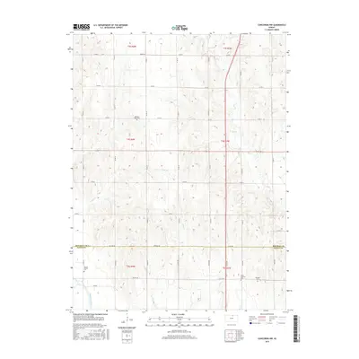
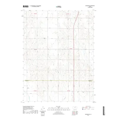
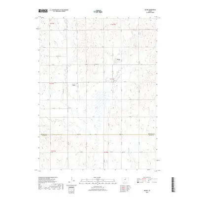
2022 Map of Concordia NW
USGS Topo · Published 2022About this map
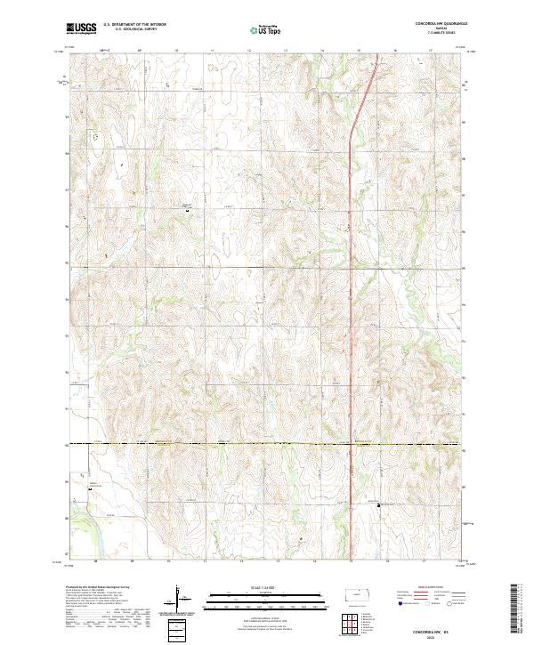
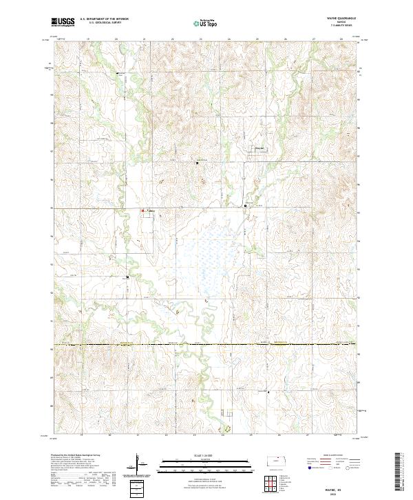
W Cr meanders through the rolling agricultural landscape where the borders of Republic and Cloud counties meet in north-central Kansas. This survey details the rural township grid system, showing the extensive network of section-line roads that defined local travel and farm property boundaries in the early 21st century. The landscape is characterized by intermittent drainage patterns and the steady elevation changes that define the Republican River basin. Though focused on the rural expanse, the map provides a precise look at the modern infrastructure supporting this prairie region, from state highway routes to the minor creek branches that sustain the local watershed.
Find a feature on this map
1 named feature on this map. Tap any name to fly to it.
Don’t see what you’re looking for? This feature index may not catch every label — zoom into the map to look around manually.
Map Details
Editions of this 2022 Concordia NW Map
This is the sole edition of this map. No revisions or reprints were ever made.
Historical Maps of Cloud County Through Time
30 maps found
1965 Concordia NW
Republic County, KS
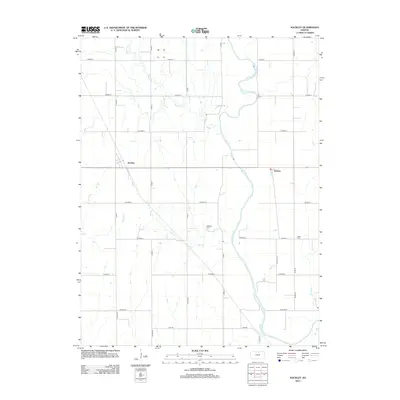
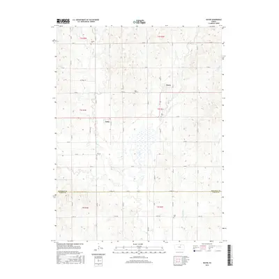
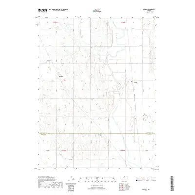
1965 Kackley
Republic County, KS
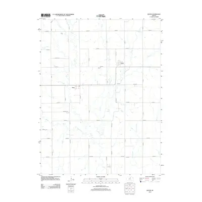
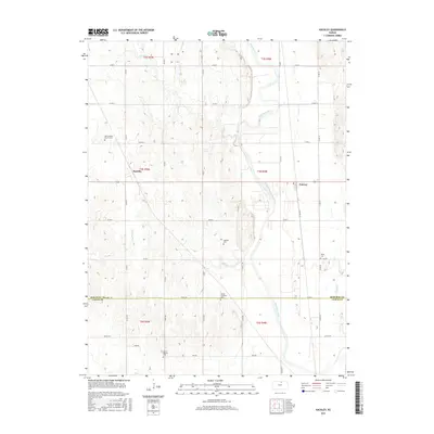
1965 Wayne
Republic County, KS

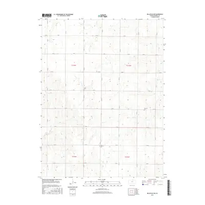
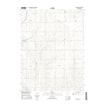
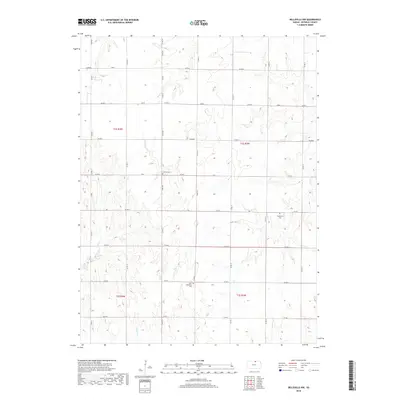
1966 Belleville SE
Republic County, KS
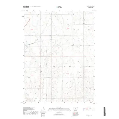
1968 Belleville NW
Republic County, KS
2009 Belleville NW
Republic County, KS
2009 Belleville SE
Republic County, KS
2009 Concordia NW
Republic County, KS
2009 Kackley
Republic County, KS
2009 Wayne
Republic County, KS
2012 Belleville NW
Republic County, KS
2012 Belleville SE
Republic County, KS
2012 Concordia NW
Republic County, KS
2012 Kackley
Republic County, KS
2012 Wayne
Republic County, KS
2015 Belleville NW
Republic County, KS
2015 Belleville SE
Republic County, KS
2015 Concordia NW
Republic County, KS
2015 Kackley
Republic County, KS
2015 Wayne
Republic County, KS
2018 Belleville NW
Republic County, KS
2018 Belleville SE
Republic County, KS
2018 Concordia NW
Republic County, KS
2018 Kackley
Republic County, KS
2018 Wayne
Republic County, KS
2022 Belleville NW
Republic County, KS
2022 Belleville SE
Republic County, KS
2022 Concordia NW
Republic County, KS
2022 Kackley
Republic County, KS
2022 Wayne
Republic County, KS