
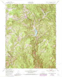
2022 Map of Cripple Creek North
USGS Topo · Published 2022About this map
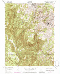
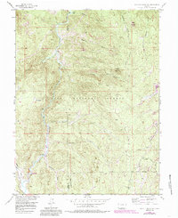
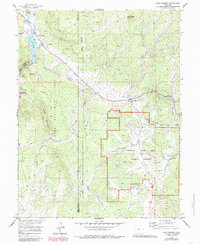
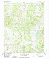
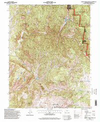
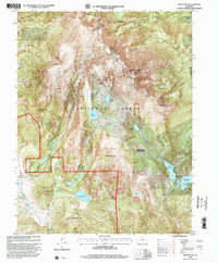
Cripple Creek and the surrounding mining district slopes are captured here in high detail, illustrating a landscape defined by its complex geology and historical extraction routes. The northern reaches are dominated by the Pike National Forest, where features like Dome Rock and the high ridges of Ranger Ridge overlook a network of specialized trails including 4 Mile Overlook Trl and Hammer Homestead Trl. This area is a patchwork of steep drainages and gulches, with Barnard Cr and Fourmile Cr carving through the terrain.
Find a feature on this map
117 named features on this map. Tap any name to fly to it.
Don’t see what you’re looking for? This feature index may not catch every label — zoom into the map to look around manually.
Map Details
Editions of this 2022 Cripple Creek North Map
This is the sole edition of this map. No revisions or reprints were ever made.
Historical Maps of Midland Through Time
29 maps found
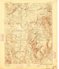
1894 Pikes Peak
Teller County, CO

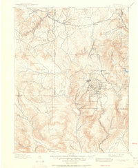
1901 Pikes Peak
Teller County, CO
1901 Pikes Peak
Teller County, CO
1951 Big Bull Mountain
Teller County, CO
1951 Cripple Creek North
Teller County, CO
1951 Cripple Creek South
Teller County, CO
1951 Pikes Peak
Teller County, CO
1954 Mount Deception
Teller County, CO
1954 Signal Butte
Teller County, CO
1956 Hackett Mountain
Teller County, CO
1956 Lake George
Teller County, CO
1983 Wrights Reservoir
Teller County, CO
1994 Big Bull Mountain
Teller County, CO
1994 Cripple Creek North
Teller County, CO
1994 Hackett Mountain
Teller County, CO
1994 Lake George
Teller County, CO
1994 Mount Deception
Teller County, CO
1994 Pikes Peak
Teller County, CO
1994 Signal Butte
Teller County, CO
1994 Wrights Reservoir
Teller County, CO
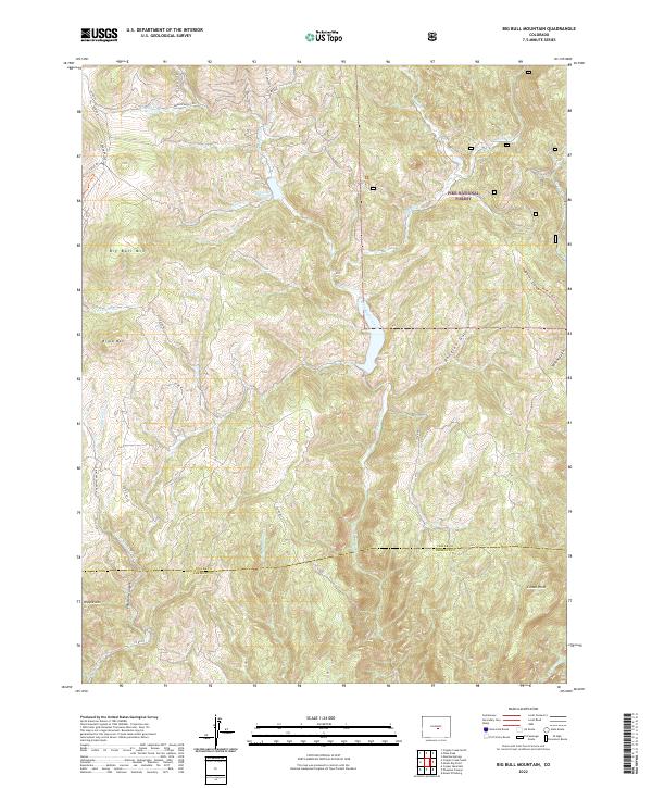
2022 Big Bull Mountain
Teller County, CO
2022 Cripple Creek North
Teller County, CO
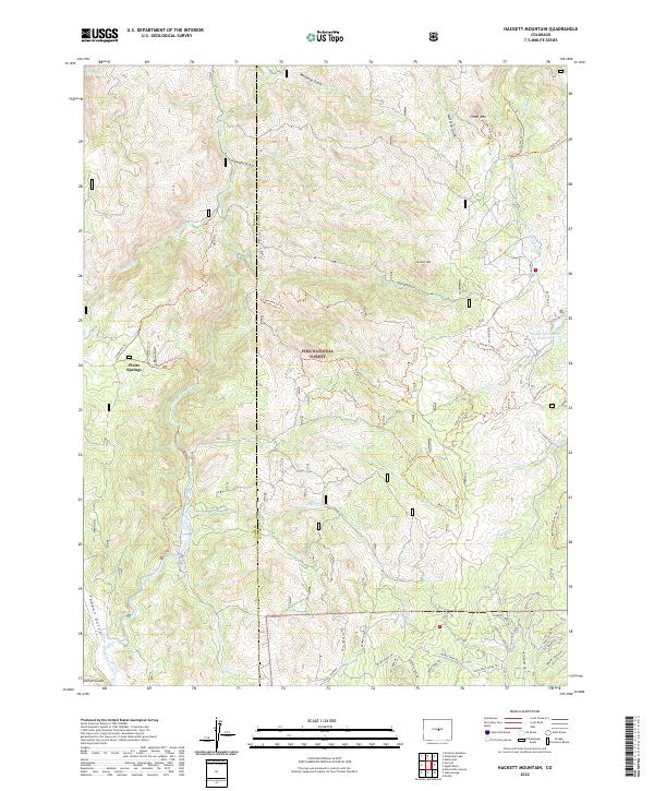
2022 Hackett Mountain
Teller County, CO
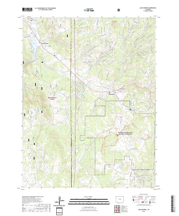
2022 Lake George
Teller County, CO
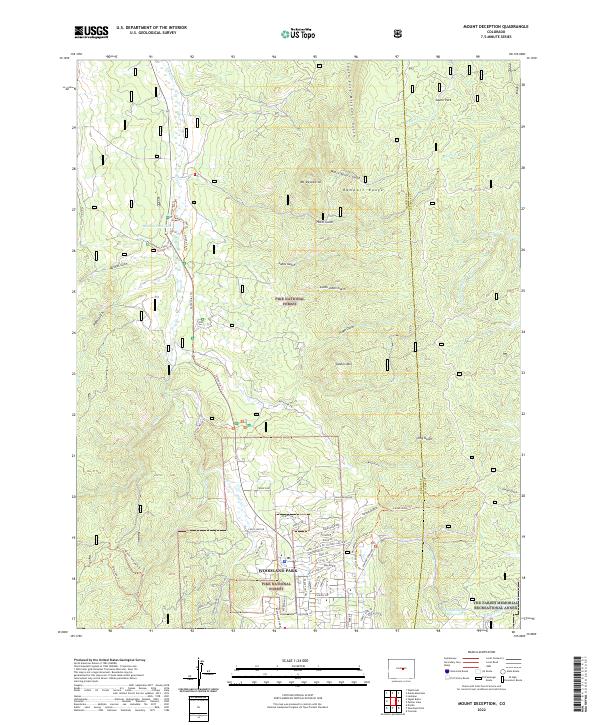
2022 Mount Deception
Teller County, CO
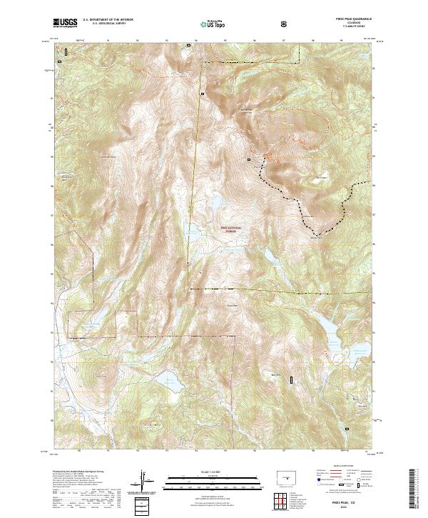
2022 Pikes Peak
Teller County, CO
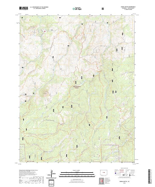
2022 Signal Butte
Teller County, CO
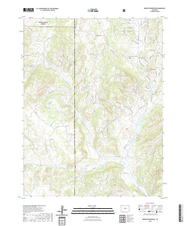
2022 Wrights Reservoir
Teller County, CO
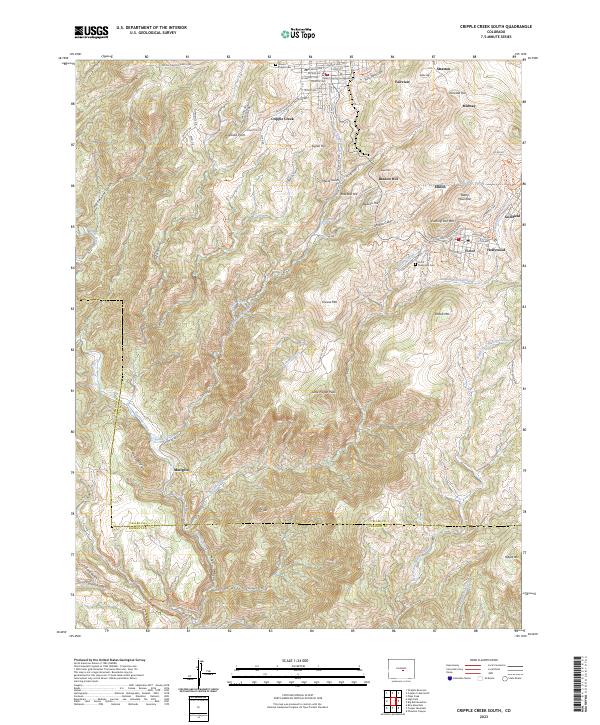
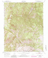
2023 Cripple Creek South
Teller County, CO