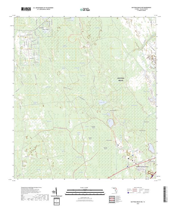
2024 Map of Daytona Beach NW
USGS Topo · Published 2024About this map
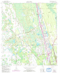
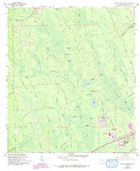
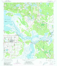
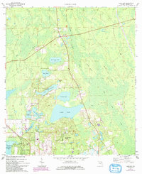
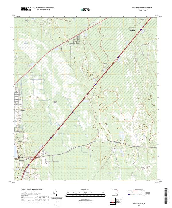
Tiger Bay State Forest dominates this inland Florida landscape, revealing an intricate network of wetlands and wooded ridges west of the coast. The terrain is defined by a series of distinct hydrographic features, including Long Swamp, Sawgrass Strand, and Bennett Swamp, which are separated by sandy elevations such as Gopher Ridge and Rima Ridge. These topographic variations created a unique environment for early land use, evident in the various "islands" rising from the marshes, such as Little Bear Island and Big Bear Island.
Find a feature on this map
85 named features on this map. Tap any name to fly to it.
Don’t see what you’re looking for? This feature index may not catch every label — zoom into the map to look around manually.
Map Details
Editions of this 2024 Daytona Beach NW Map
This is the sole edition of this map. No revisions or reprints were ever made.
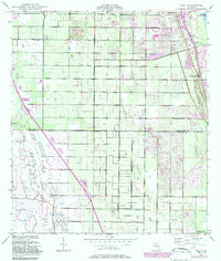
Historical Maps of Daytona Highridge Estates Through Time
32 maps found
1949 Osceola
Volusia County, FL
1949 Pardon Island
Volusia County, FL
1950 Ariel
Volusia County, FL
1950 Maytown
Volusia County, FL
1952 Pardon Island
Volusia County, FL
1952 Samsula
Volusia County, FL
1956 Flagler Beach East
Volusia County, FL
1962 Daytona Beach NW
Volusia County, FL
1962 Daytona Beach SW
Volusia County, FL
1962 Lake Woodruff
Volusia County, FL
1964 De Land
Volusia County, FL
1965 Osteen
Volusia County, FL
1966 Lake Ashby
Volusia County, FL
1966 Osceola
Volusia County, FL
1970 Welaka SE
Volusia County, FL
1971 Lake Dias
Volusia County, FL
1994 Pardon Island
Volusia County, FL
1999 Lake Woodruff
Volusia County, FL
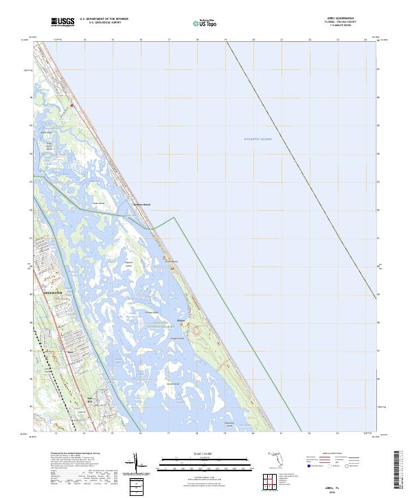
2024 Ariel
Volusia County, FL
2024 Daytona Beach NW
Volusia County, FL
2024 Daytona Beach SW
Volusia County, FL
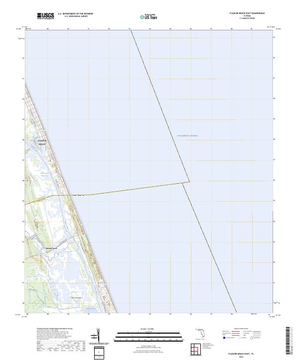
2024 Flagler Beach East
Volusia County, FL
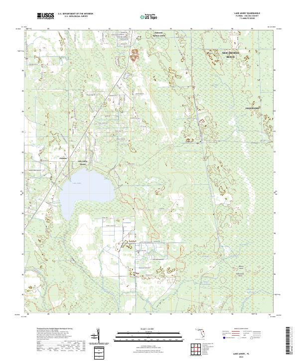
2024 Lake Ashby
Volusia County, FL
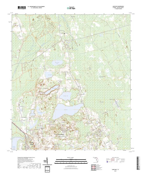
2024 Lake Dias
Volusia County, FL
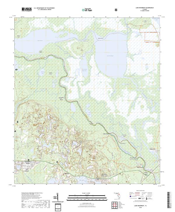
2024 Lake Woodruff
Volusia County, FL
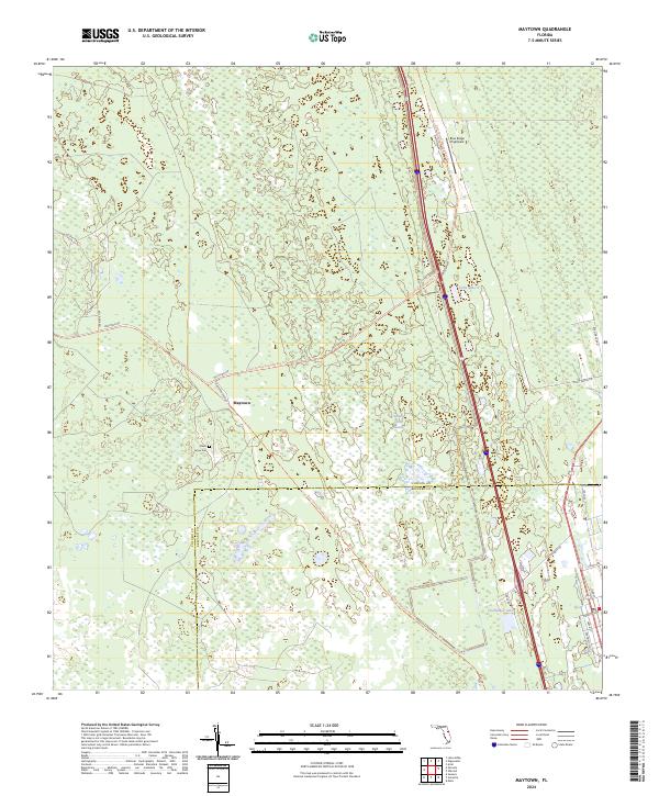
2024 Maytown
Volusia County, FL
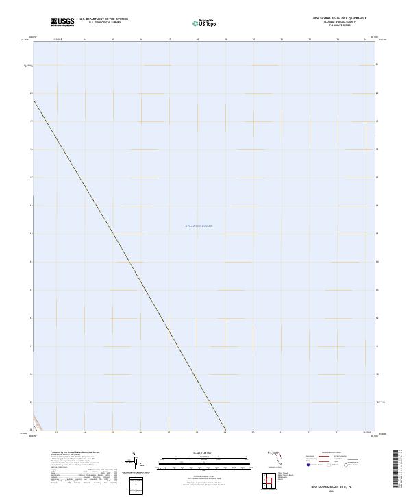
2024 New Smyrna Beach OE E
Volusia County, FL
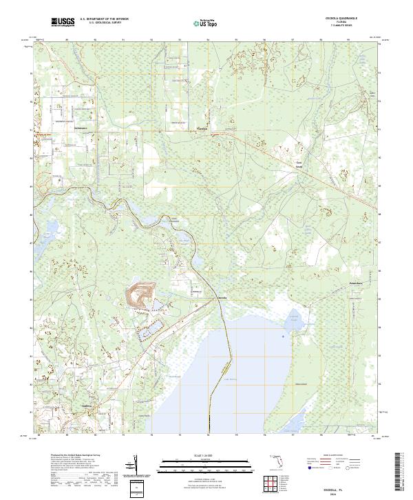
2024 Osceola
Volusia County, FL
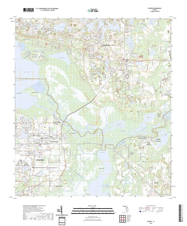
2024 Osteen
Volusia County, FL
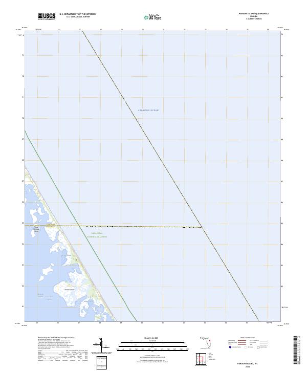
2024 Pardon Island
Volusia County, FL
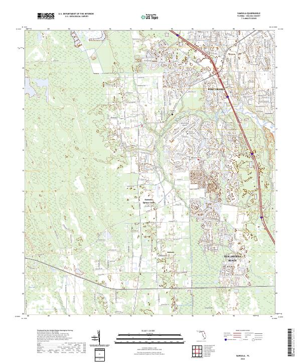
2024 Samsula
Volusia County, FL
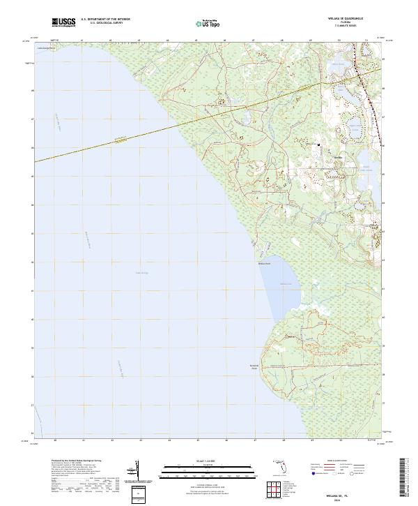
2024 Welaka SE
Volusia County, FL