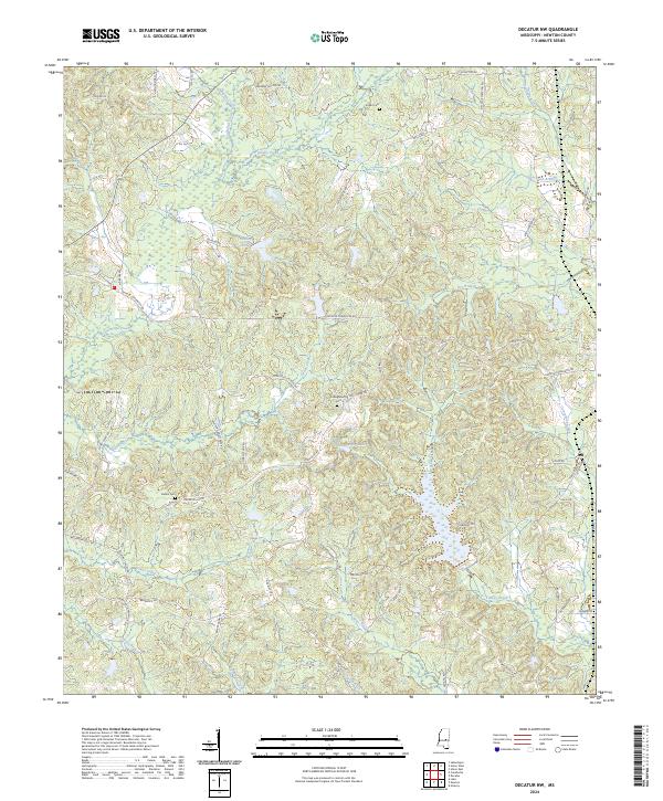
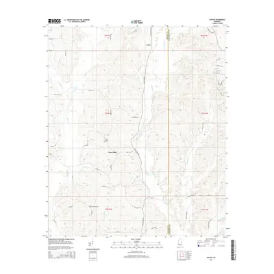
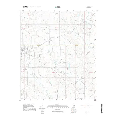
2024 Map of Decatur NW
USGS Topo · Published 2024About this map
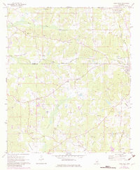
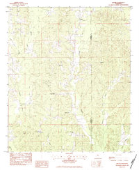
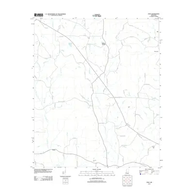
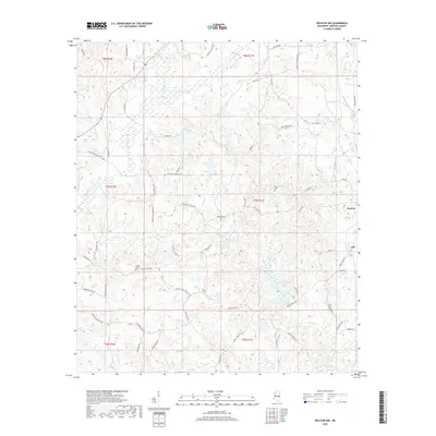
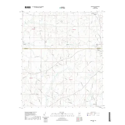
Turkey Creek and its southern tributaries define the topography of this Mississippi landscape, which is marked by numerous family-named roads and rural burials. Small cemeteries such as Indian Cem, Hollingsworth Cem, and Bufkin Cem are scattered throughout the region, offering critical focal points for genealogical research in Newton County. The small settlement of Jeff is located on the eastern edge of the map, while several water features like Spring Lake and County Pond provide landmarks within the wooded terrain.
Find a feature on this map
70 named features on this map. Tap any name to fly to it.
Don’t see what you’re looking for? This feature index may not catch every label — zoom into the map to look around manually.
Map Details
Editions of this 2024 Decatur NW Map
This is the sole edition of this map. No revisions or reprints were ever made.
Historical Maps of Decatur Through Time
30 maps found
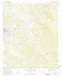
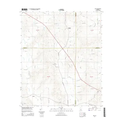
1962 Post
Newton County, MS
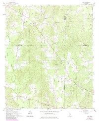
1966 Decatur NW
Newton County, MS
1972 Union East
Newton County, MS
1972 Union West
Newton County, MS
1982 Duffee
Newton County, MS
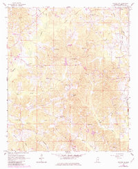
2012 Decatur NW
Newton County, MS
2012 Duffee
Newton County, MS
2012 Post
Newton County, MS
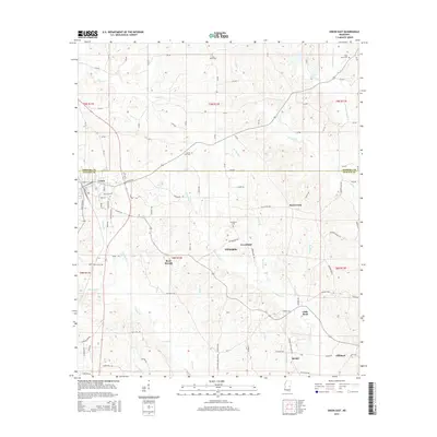
2012 Union East
Newton County, MS
2012 Union West
Newton County, MS
2015 Decatur NW
Newton County, MS
2015 Duffee
Newton County, MS
2015 Post
Newton County, MS
2015 Union East
Newton County, MS
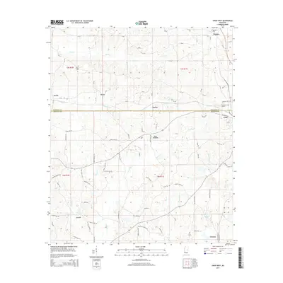
2015 Union West
Newton County, MS
2018 Decatur NW
Newton County, MS
2018 Duffee
Newton County, MS
2018 Post
Newton County, MS
2018 Union East
Newton County, MS
2018 Union West
Newton County, MS
2020 Decatur NW
Newton County, MS
2020 Duffee
Newton County, MS
2020 Post
Newton County, MS
2020 Union East
Newton County, MS
2020 Union West
Newton County, MS
2024 Decatur NW
Newton County, MS
2024 Duffee
Newton County, MS
2024 Post
Newton County, MS
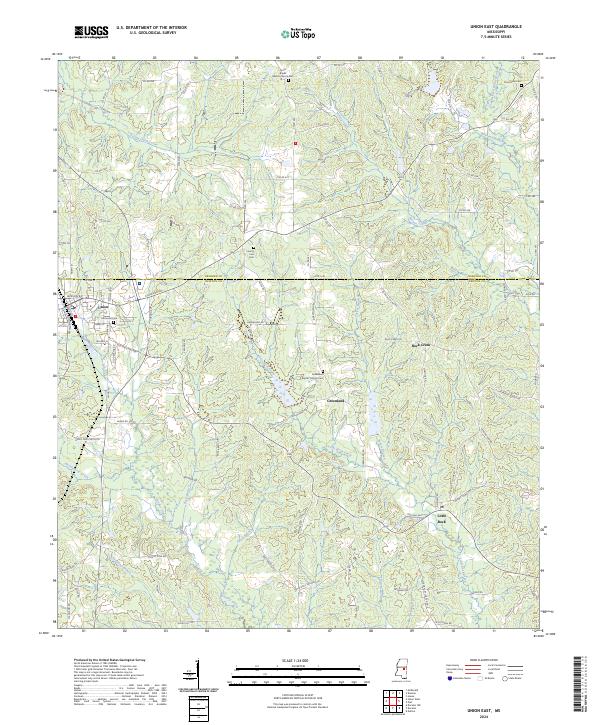
2024 Union East
Newton County, MS
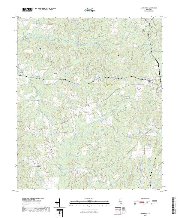
2024 Union West
Newton County, MS