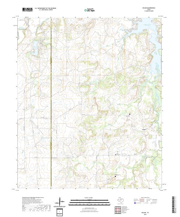
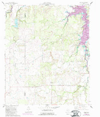
2022 Map of Eolian
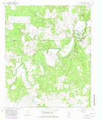
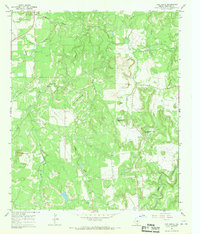
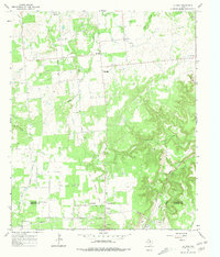
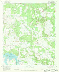
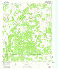
USGS Topo · Published 2022This historical map portrays the area of Eolian in 2022, primarily covering Stephens County as well as portions of Shackelford County. Featuring a scale of 1:24000, this map provides a highly detailed snapshot of the terrain, roads, buildings, counties, and historical landmarks in the Eolian region at the time. Published in 2022, it is the sole known edition of this map.
Map Details
Editions of this 2022 Eolian Map
This is the sole edition of this map. No revisions or reprints were ever made.
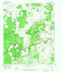
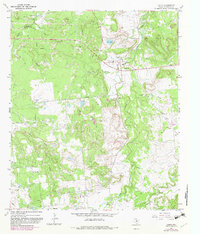
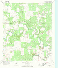
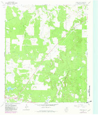
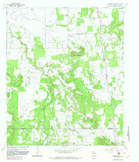
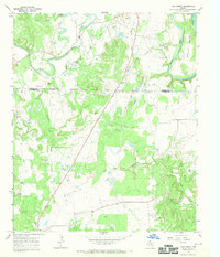
Historical Maps of Mankins Mill Through Time
32 maps found

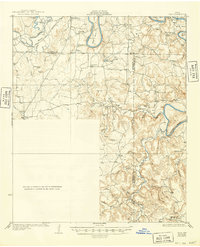
1925 Breckenridge 1-b
Stephens County, TX
1931 Ivan
Stephens County, TX
1958 Edwards Branch
Stephens County, TX
1961 Buck Mountain
Stephens County, TX
1961 Eolian
Stephens County, TX

1965 Indian Knoll
Stephens County, TX
1965 Lusk
Stephens County, TX
1967 Caddo
Stephens County, TX
1967 Crystal Falls
Stephens County, TX
1967 Eliasville
Stephens County, TX
1967 Grand Lake
Stephens County, TX
1967 Harpersville
Stephens County, TX
1967 Ivan North
Stephens County, TX
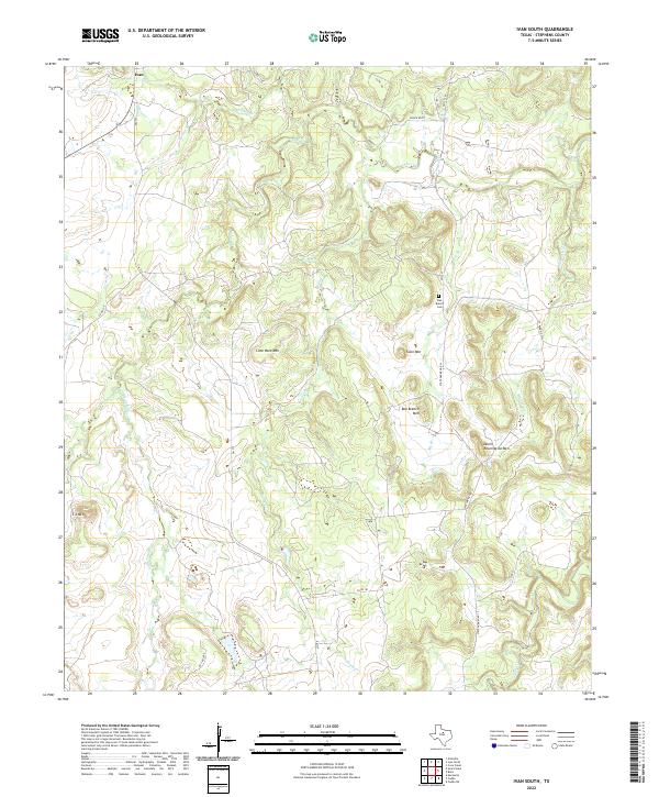
1967 Ivan South
Stephens County, TX
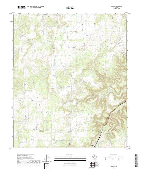
1967 La Casa
Stephens County, TX
1967 Necessity
Stephens County, TX
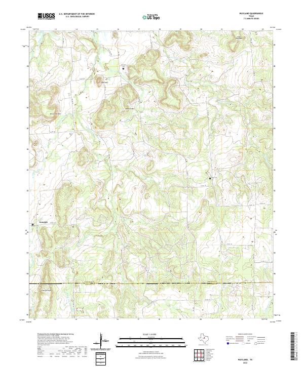
1967 Wayland
Stephens County, TX
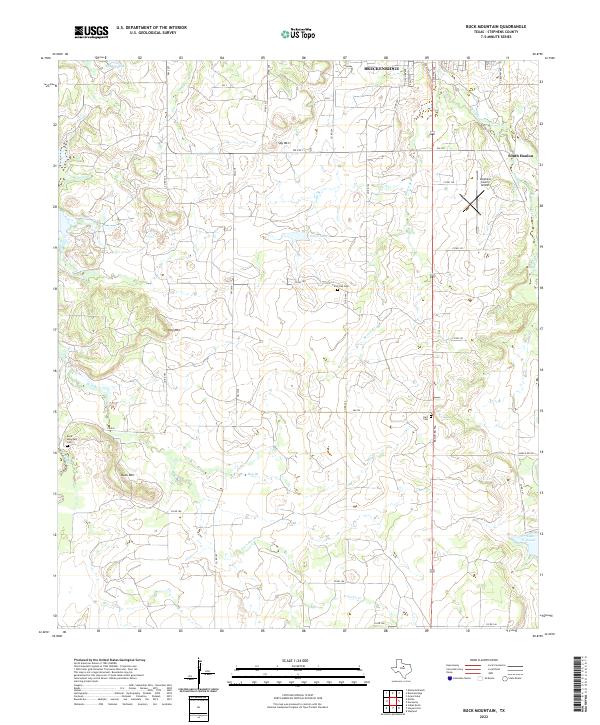
2022 Buck Mountain
Stephens County, TX
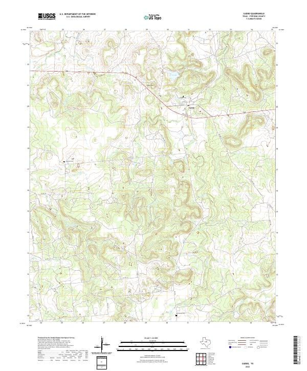
2022 Caddo
Stephens County, TX
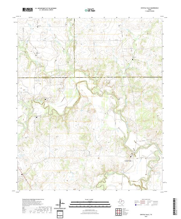
2022 Crystal Falls
Stephens County, TX
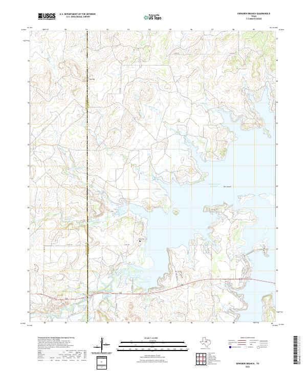
2022 Edwards Branch
Stephens County, TX
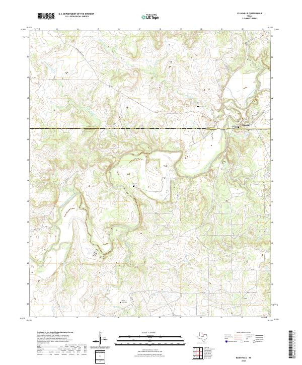
2022 Eliasville
Stephens County, TX
2022 Eolian
Stephens County, TX

2022 Grand Lake
Stephens County, TX
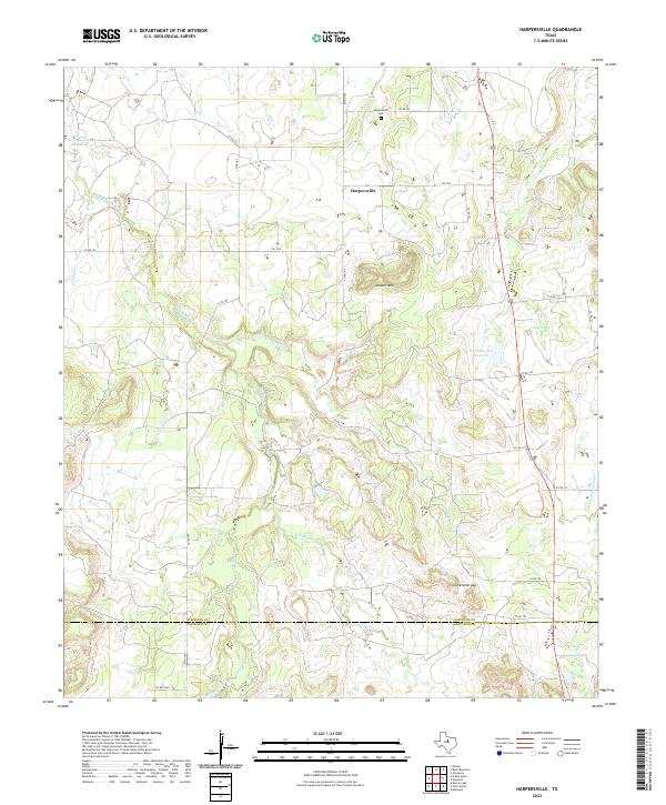
2022 Harpersville
Stephens County, TX
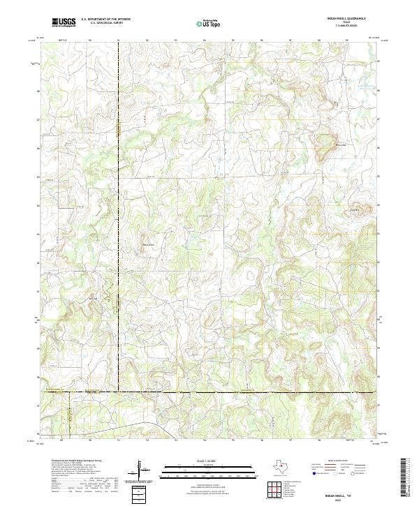
2022 Indian Knoll
Stephens County, TX
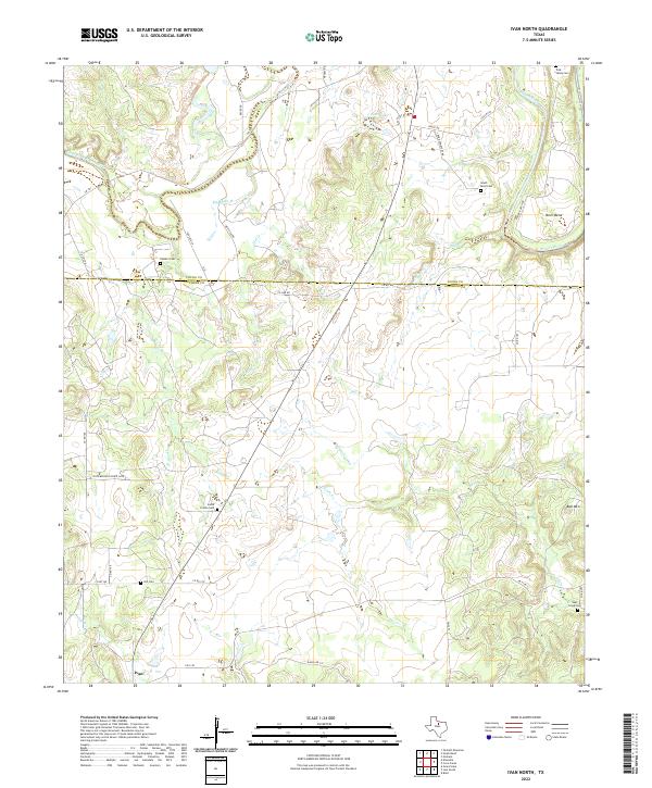
2022 Ivan North
Stephens County, TX
2022 Ivan South
Stephens County, TX
2022 La Casa
Stephens County, TX
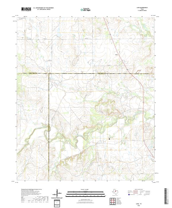
2022 Lusk
Stephens County, TX
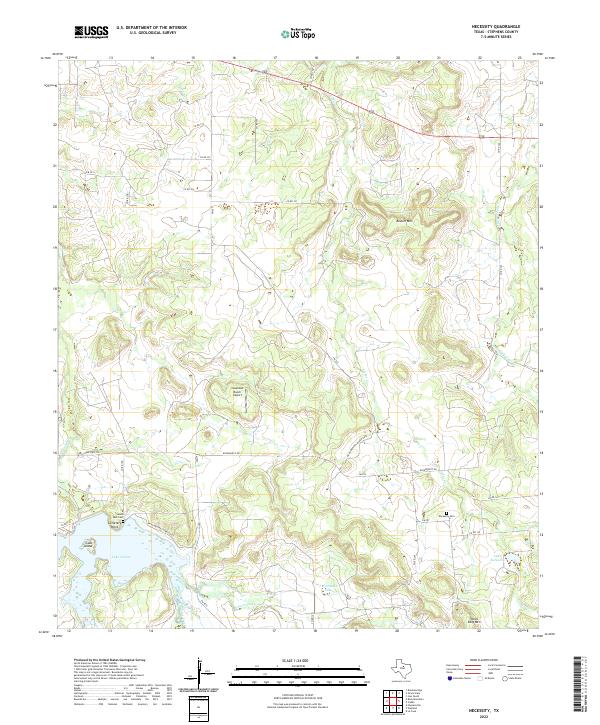
2022 Necessity
Stephens County, TX
2022 Wayland
Stephens County, TX