
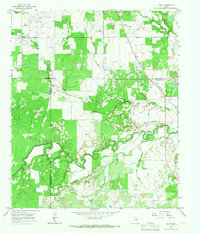
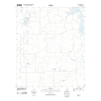
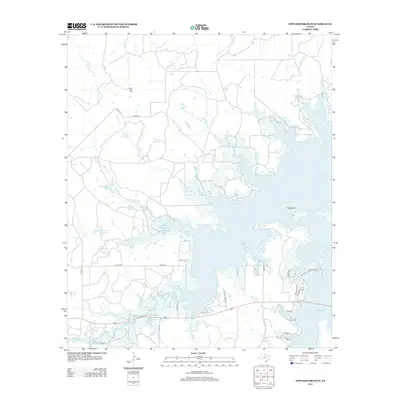
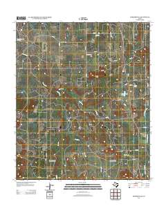
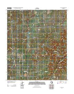
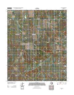
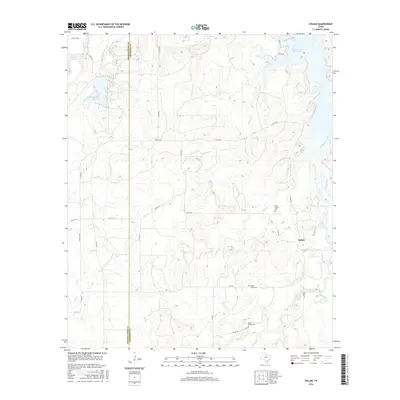
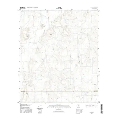
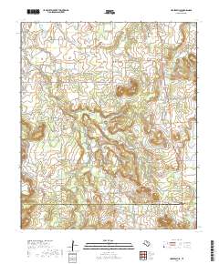
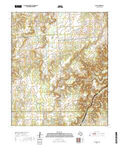
2022 Map of Grand Lake
USGS Topo · Published 2022About this map
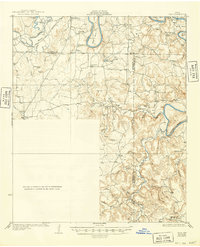
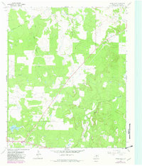
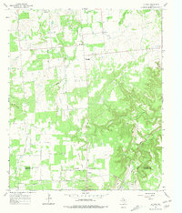
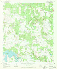
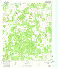
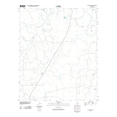
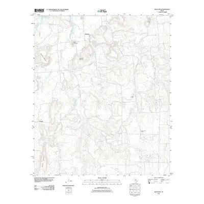
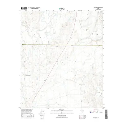
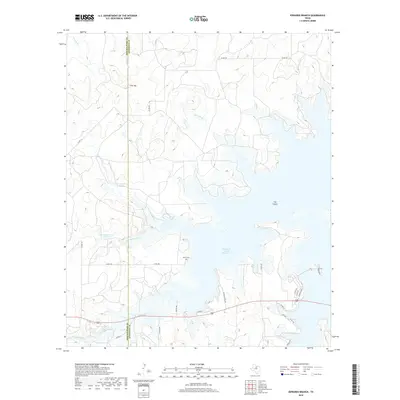
Moon Cem serves as a small but significant historical marker in this rural landscape of Stephens County, where the terrain is defined by a dense network of seasonal creek branches. Waterways such as E Fork Bufford Cr and the W Fork Bufford Cr meander through the central area, while the southwest corner is anchored by the namesake Grand Lake. The road system is primarily composed of rural county routes like Co RD 179 and Co RD 173, alongside more restricted access points such as PR RD Behind Locked Gate. This modern topographic survey illustrates a sparsely populated region where large-scale ranching or land management has preserved the natural drainage patterns of Cedar Cr and Yellow Br.
Find a feature on this map
21 named features on this map. Tap any name to fly to it.
Don’t see what you’re looking for? This feature index may not catch every label — zoom into the map to look around manually.
Map Details
Editions of this 2022 Grand Lake Map
This is the sole edition of this map. No revisions or reprints were ever made.
Historical Maps of Stephens County Through Time
92 maps found

1925 Breckenridge 1-b
Stephens County, TX
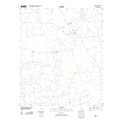
1931 Ivan
Stephens County, TX
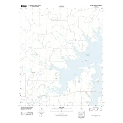
1958 Edwards Branch
Stephens County, TX
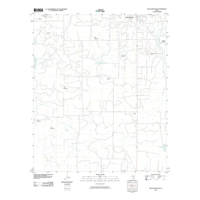
1961 Buck Mountain
Stephens County, TX
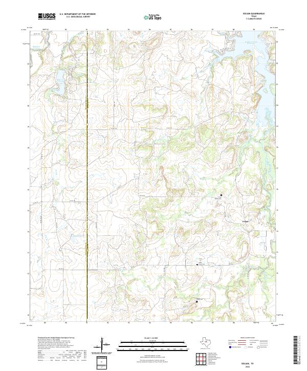
1961 Eolian
Stephens County, TX

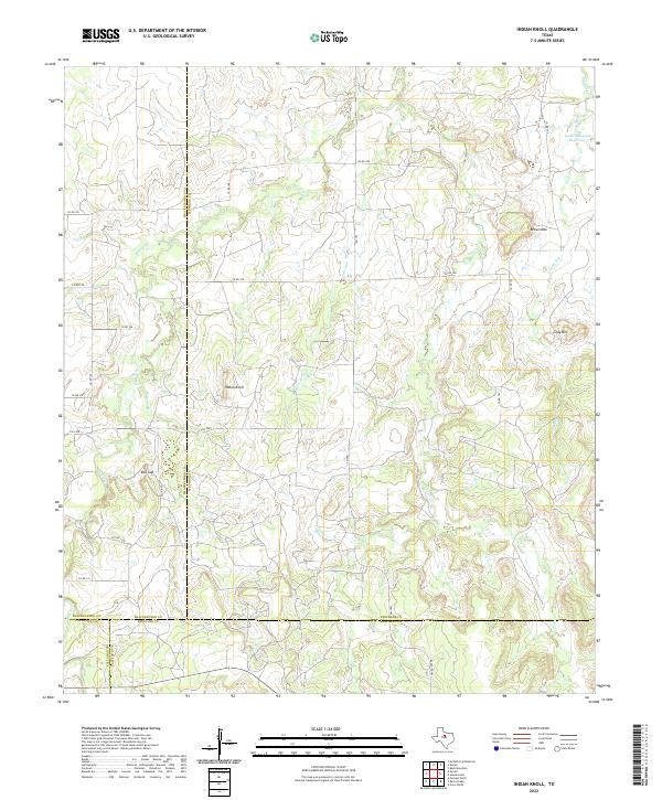
1965 Indian Knoll
Stephens County, TX
1965 Lusk
Stephens County, TX
1967 Caddo
Stephens County, TX
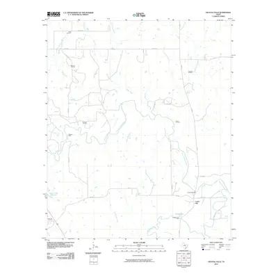
1967 Crystal Falls
Stephens County, TX
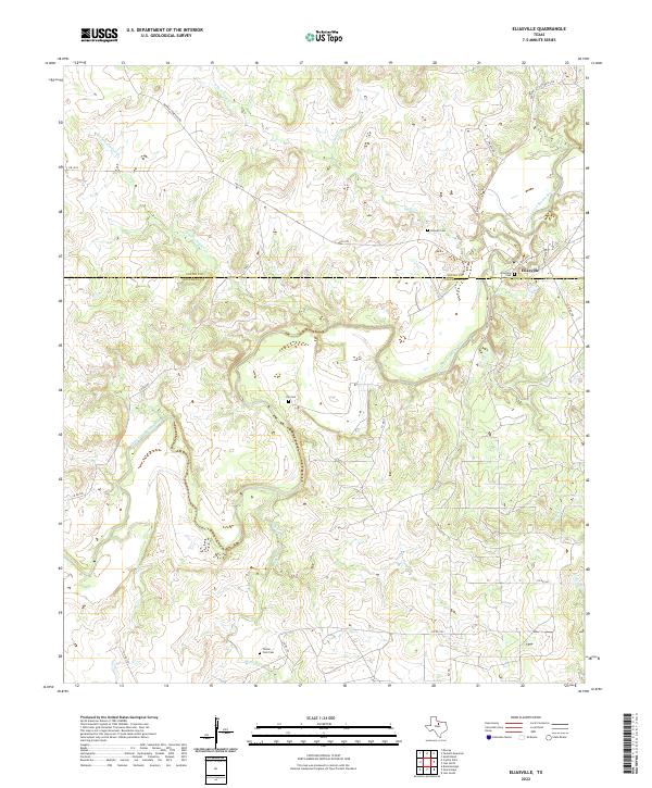
1967 Eliasville
Stephens County, TX
1967 Grand Lake
Stephens County, TX
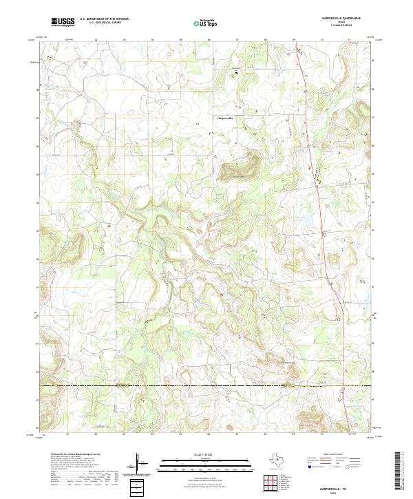
1967 Harpersville
Stephens County, TX
1967 Ivan North
Stephens County, TX
1967 Ivan South
Stephens County, TX
1967 La Casa
Stephens County, TX
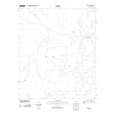
1967 Necessity
Stephens County, TX
1967 Wayland
Stephens County, TX
2010 Buck Mountain
Stephens County, TX
2010 Caddo
Stephens County, TX
2010 Crystal Falls
Stephens County, TX
2010 Edwards Branch
Stephens County, TX
2010 Eliasville
Stephens County, TX
2010 Eolian
Stephens County, TX
2010 Grand Lake
Stephens County, TX
2010 Harpersville
Stephens County, TX
2010 Indian Knoll
Stephens County, TX
2010 Ivan North
Stephens County, TX
2010 Ivan South
Stephens County, TX
2010 La Casa
Stephens County, TX

2010 Lusk
Stephens County, TX
2010 Necessity
Stephens County, TX
2011 Wayland
Stephens County, TX
2012 Buck Mountain
Stephens County, TX
2012 Caddo
Stephens County, TX
2012 Crystal Falls
Stephens County, TX
2012 Edwards Branch
Stephens County, TX
2012 Eliasville
Stephens County, TX
2012 Eolian
Stephens County, TX
2012 Grand Lake
Stephens County, TX
2012 Harpersville
Stephens County, TX
2012 Indian Knoll
Stephens County, TX
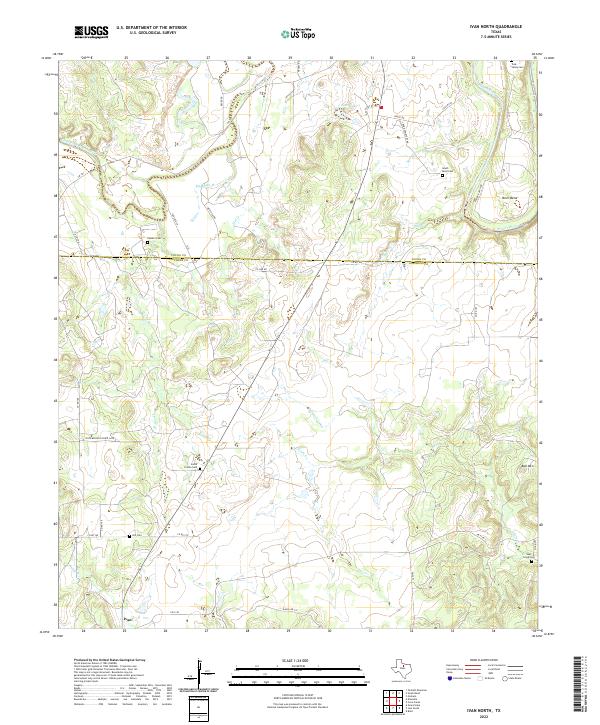
2012 Ivan North
Stephens County, TX
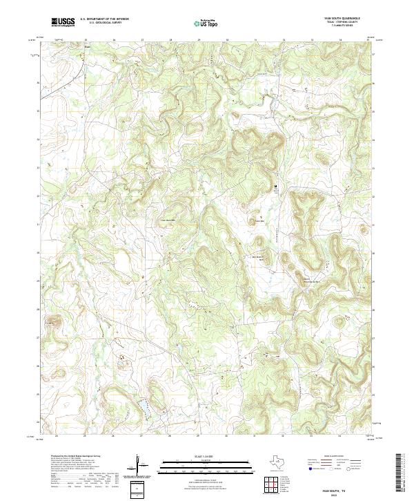
2012 Ivan South
Stephens County, TX
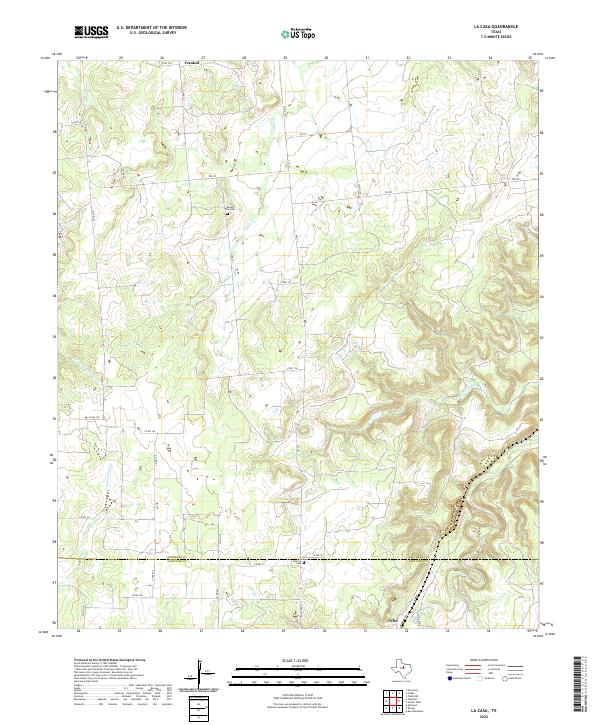
2012 La Casa
Stephens County, TX
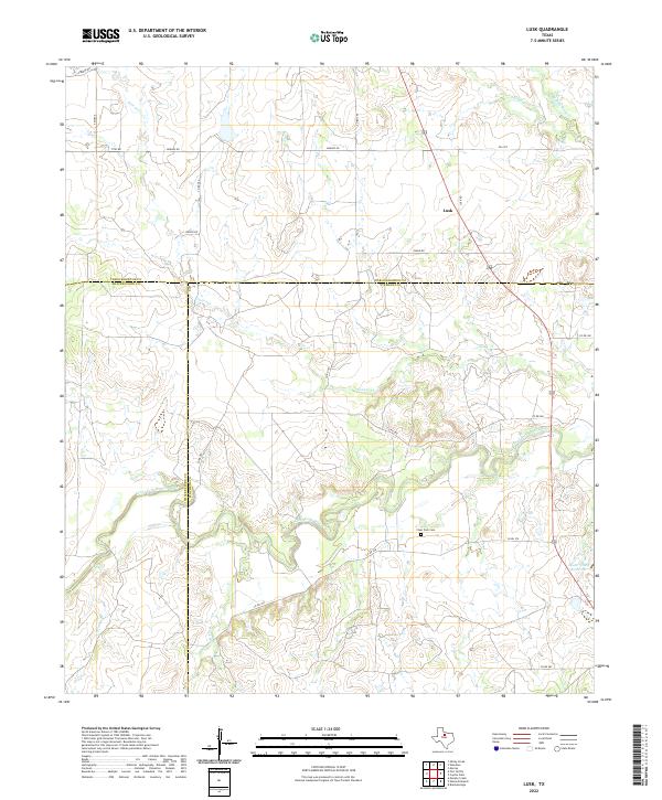
2012 Lusk
Stephens County, TX
2012 Necessity
Stephens County, TX
2012 Wayland
Stephens County, TX
2016 Buck Mountain
Stephens County, TX
2016 Caddo
Stephens County, TX
2016 Crystal Falls
Stephens County, TX

2016 Edwards Branch
Stephens County, TX
2016 Eliasville
Stephens County, TX
2016 Eolian
Stephens County, TX
2016 Grand Lake
Stephens County, TX
2016 Harpersville
Stephens County, TX
2016 Indian Knoll
Stephens County, TX
2016 Ivan North
Stephens County, TX

2016 Ivan South
Stephens County, TX
2016 La Casa
Stephens County, TX
2016 Lusk
Stephens County, TX
2016 Necessity
Stephens County, TX
2016 Wayland
Stephens County, TX
2019 Buck Mountain
Stephens County, TX
2019 Caddo
Stephens County, TX
2019 Crystal Falls
Stephens County, TX
2019 Edwards Branch
Stephens County, TX
2019 Eliasville
Stephens County, TX
2019 Eolian
Stephens County, TX
2019 Grand Lake
Stephens County, TX
2019 Harpersville
Stephens County, TX
2019 Indian Knoll
Stephens County, TX
2019 Ivan North
Stephens County, TX
2019 Ivan South
Stephens County, TX
2019 La Casa
Stephens County, TX
2019 Lusk
Stephens County, TX
2019 Necessity
Stephens County, TX
2019 Wayland
Stephens County, TX
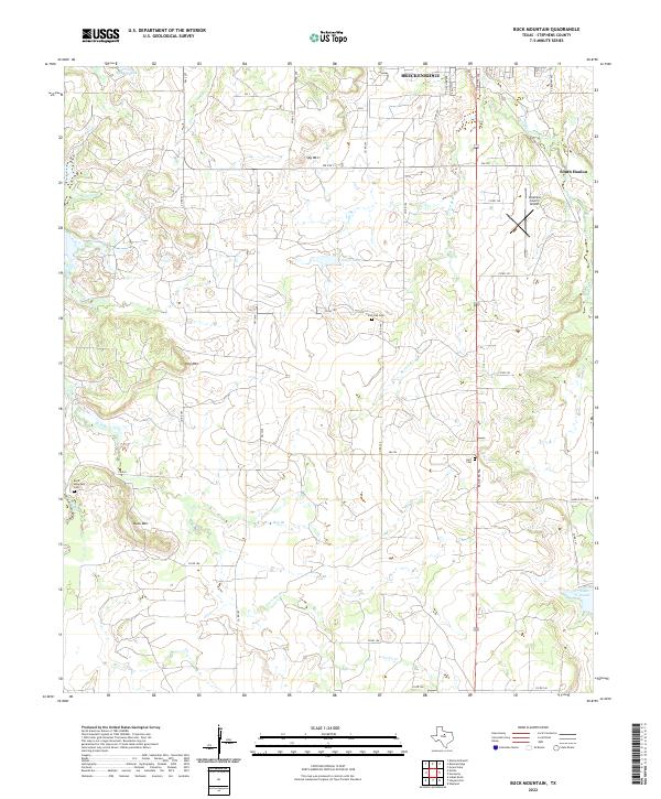
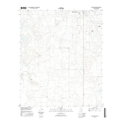
2022 Buck Mountain
Stephens County, TX
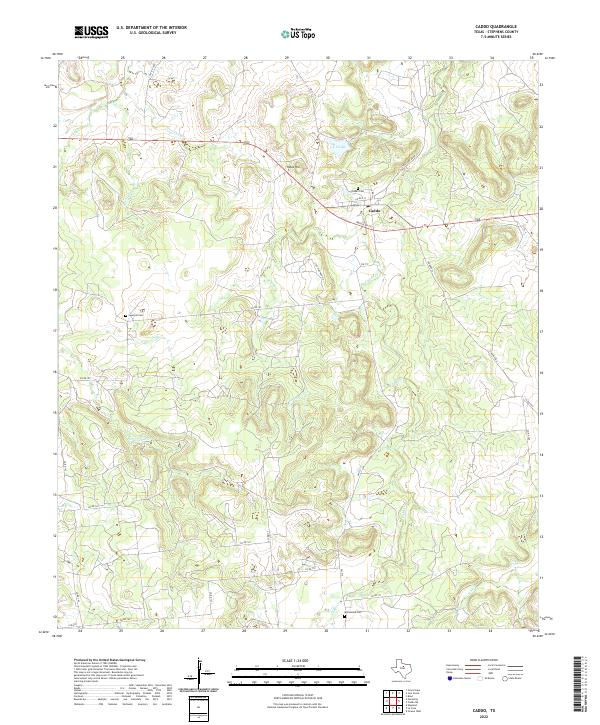
2022 Caddo
Stephens County, TX
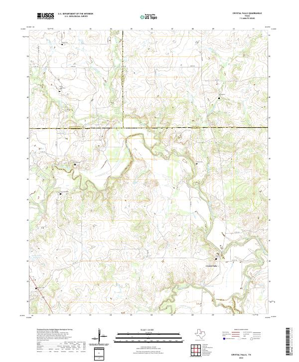
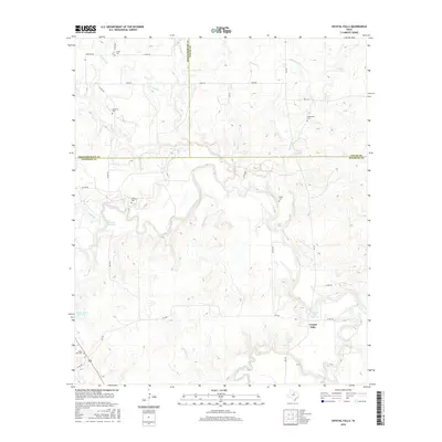
2022 Crystal Falls
Stephens County, TX
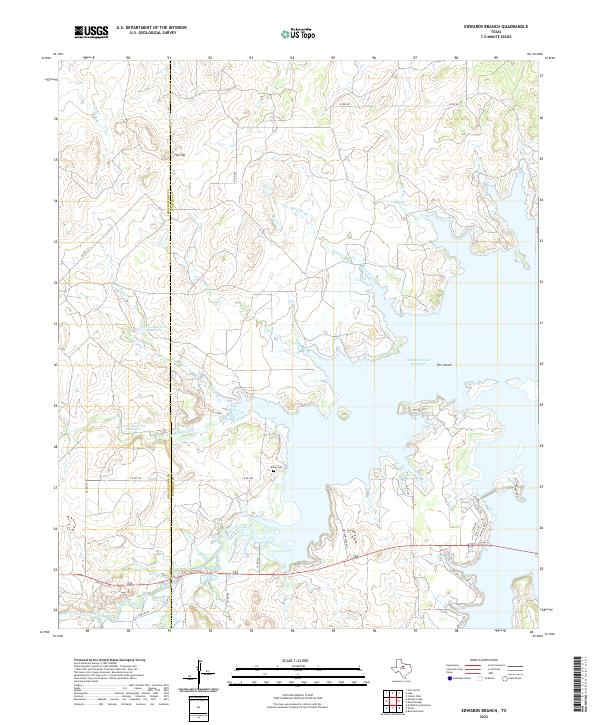
2022 Edwards Branch
Stephens County, TX
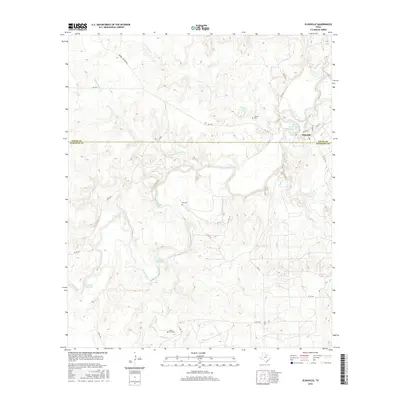
2022 Eliasville
Stephens County, TX
2022 Eolian
Stephens County, TX
2022 Grand Lake
Stephens County, TX
2022 Harpersville
Stephens County, TX
2022 Indian Knoll
Stephens County, TX
2022 Ivan North
Stephens County, TX
2022 Ivan South
Stephens County, TX
2022 La Casa
Stephens County, TX
2022 Lusk
Stephens County, TX
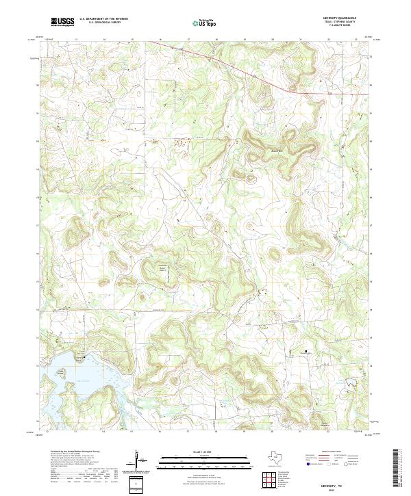
2022 Necessity
Stephens County, TX
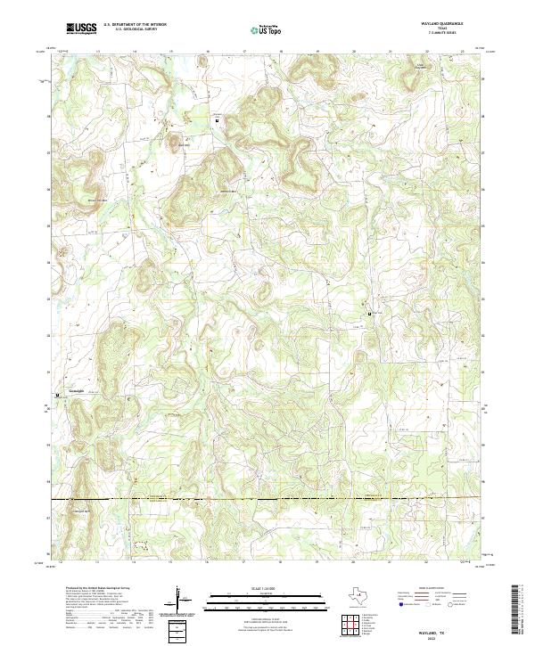
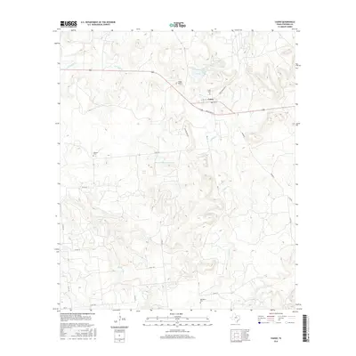
2022 Wayland
Stephens County, TX