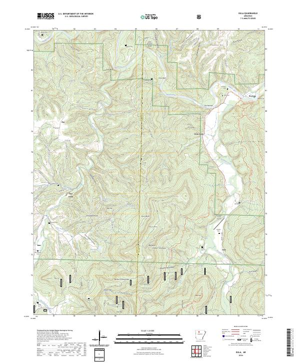
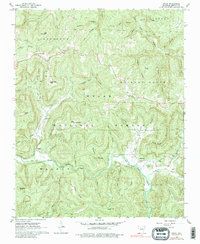
2024 Map of Eula
USGS Topo · Published 2024About this map
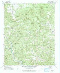
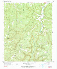
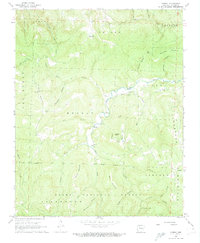
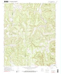
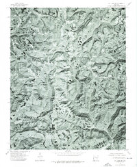
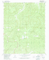
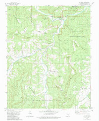
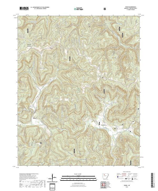
The Buffalo National River carves a deep path through this portion of the Ozarks, flanked by prominent bluffs like Clair Bluff and Cane Bluff. This modern topography shows the rugged intersection of the river corridor with the Ozark National Forest and the Newton and Searcy county line. Small settlements such as Bass, Cave Creek, and Eula are connected by a network of county roads and trails, including the Ozark Highlands Trail and the Buffalo River Trail.
Find a feature on this map
100 named features on this map. Tap any name to fly to it.
Don’t see what you’re looking for? This feature index may not catch every label — zoom into the map to look around manually.
Map Details
Editions of this 2024 Eula Map
This is the sole edition of this map. No revisions or reprints were ever made.
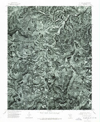
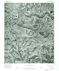
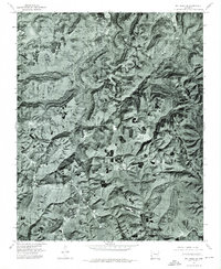
Historical Maps of Eula Through Time
26 maps found
1933 Mt Judea
Newton County, AR
1940 Mt Judea
Newton County, AR
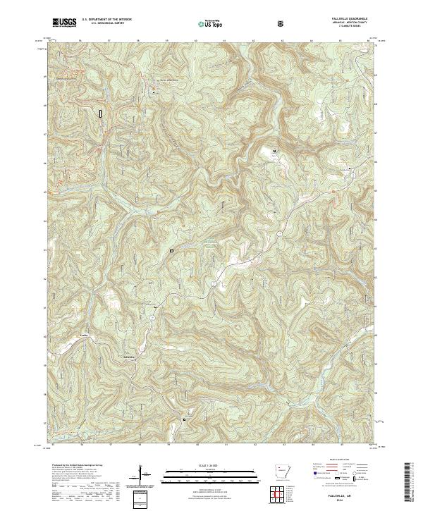
1967 Fallsville
Newton County, AR
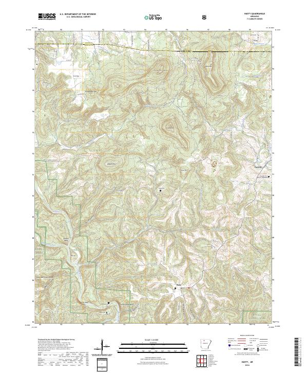
1967 Hasty
Newton County, AR
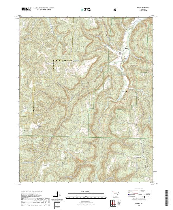
1968 Boxley
Newton County, AR
1968 Murray
Newton County, AR
1968 Osage SW
Newton County, AR
1968 Swain
Newton County, AR
1974 Mt Judea NE
Newton County, AR
1974 Mt Judea NW
Newton County, AR
1974 Mt Judea SE
Newton County, AR
1974 Mt Judea SW
Newton County, AR

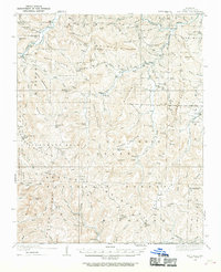
1980 Eula
Newton County, AR
1980 Lurton
Newton County, AR
1980 Mt Judea
Newton County, AR
1980 Parthenon
Newton County, AR
1983 Fly Gap Mountain
Newton County, AR
2024 Boxley
Newton County, AR
2024 Eula
Newton County, AR
2024 Fallsville
Newton County, AR
2024 Hasty
Newton County, AR
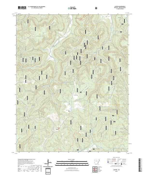
2024 Lurton
Newton County, AR
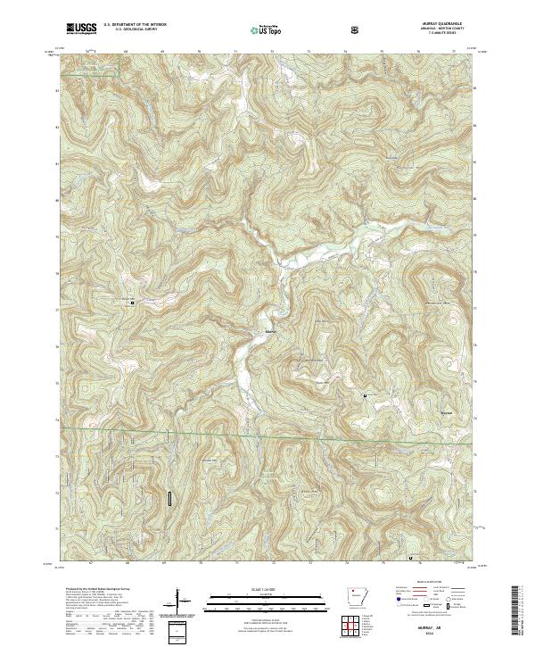
2024 Murray
Newton County, AR
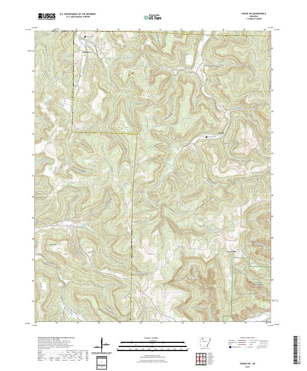
2024 Osage SW
Newton County, AR
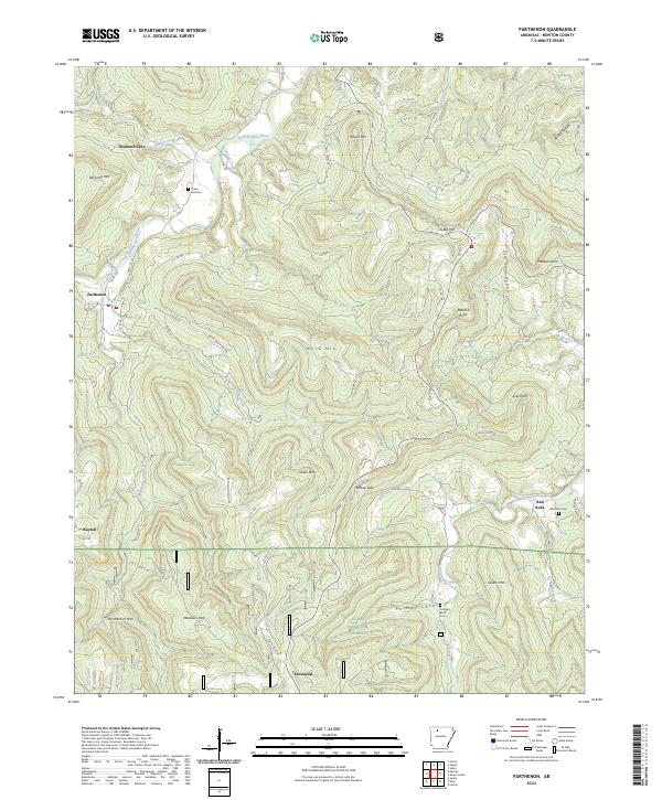
2024 Parthenon
Newton County, AR
2024 Swain
Newton County, AR