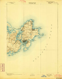
1893 Map of Gloucester
USGS Topo · Published 1898About this map
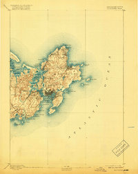
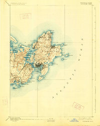
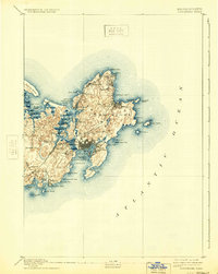
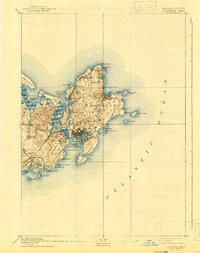
The maritime heart of Cape Ann is defined by the dense urban centers of Gloucester and Rockport during the late nineteenth century. Shoreline orientation is central to life here, with Gloucester Harbor protected by Eastern Point and the Squam Light Annisquam Harbor guiding vessels into the Annisquam River. The interior of the cape reveals a transition toward early industrial connectivity via the Boston and Maine Railroad, which links the Gloucester Branch to crucial local stops like West Gloucester Station and Magnolia Station. Smaller coastal settlements such as Lanesville, Bay View, and Annisquam dot the perimeter, while the topography rises toward Poole Hill and Railcut Hill. This survey captures the region's intense relationship with the Atlantic Ocean, mapping dozens of hazardous ledges and islands including Thatcher Island and Milk Island that defined the fishing and granite-shipping economies of the era.
Find a feature on this map
68 named features on this map. Tap any name to fly to it.
Don’t see what you’re looking for? This feature index may not catch every label — zoom into the map to look around manually.
Map Details
Editions of this 1893 Gloucester Map
9 editions found
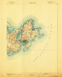
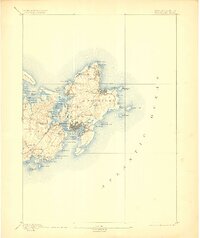
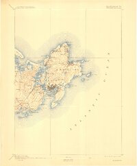
Other maps of this area

1886 · Gloucester
USGS Topo · 1:62,500

1888 · Newburyport
USGS Topo · 1:62,500

1888 · Gloucester
USGS Topo · 1:62,500

1888 · Salem
USGS Topo · 1:62,500

1890 · Newburyport
USGS Topo · 1:62,500

1892 · Boston Bay
USGS Topo · 1:62,500

1893 · Salem
USGS Topo · 1:62,500

1893 · Gloucester
USGS Topo · 1:62,500

1894 · Newburyport
USGS Topo · 1:62,500

1903 · Boston Bay
USGS Topo · 1:62,500