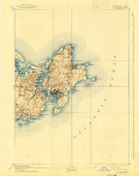
1893 Map of Gloucester
USGS Topo · Published 1941About this map
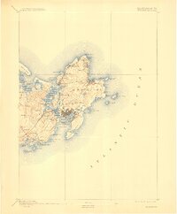
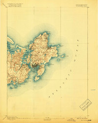
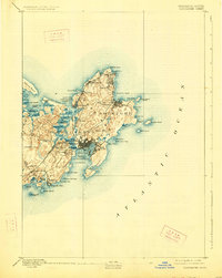
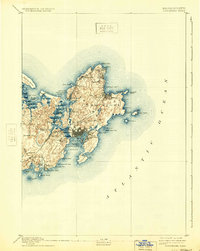
The maritime identity of Cape Ann is established through this late 19th-century survey, which reveals a landscape defined by granite quarrying and deep-sea fishing traditions. The Boston and Maine Railroad serves as the primary artery for the region, connecting coastal hubs like Gloucester and Rockport to inland markets via West Gloucester Station and Magnolia Station. The map illustrates the intricate relationship between the sea and settlement, with seafaring aids like the Annisquam Light and the twin lights of Thacher Island framing the jagged coastline. Small villages such as Lanesville, Bay View, and Annisquam dot the perimeter of the cape, while the interior remains marked by prominent elevations like Pigeon Hill and Railcut Hill. This survey provides a precise view of the industrial and residential development of the Massachusetts North Shore before mid-century modern expansion.
Find a feature on this map
66 named features on this map. Tap any name to fly to it.
Don’t see what you’re looking for? This feature index may not catch every label — zoom into the map to look around manually.
Map Details
Editions of this 1893 Gloucester Map
9 editions found
Other maps of this area

1886 · Gloucester
USGS Topo · 1:62,500

1888 · Newburyport
USGS Topo · 1:62,500

1888 · Gloucester
USGS Topo · 1:62,500

1888 · Salem
USGS Topo · 1:62,500

1890 · Newburyport
USGS Topo · 1:62,500

1892 · Boston Bay
USGS Topo · 1:62,500

1893 · Salem
USGS Topo · 1:62,500

1893 · Gloucester
USGS Topo · 1:62,500

1894 · Newburyport
USGS Topo · 1:62,500

1903 · Boston Bay
USGS Topo · 1:62,500