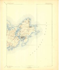
1893 Map of Gloucester
USGS Topo · Published 1906About this map
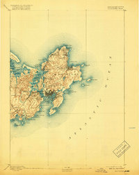
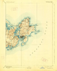
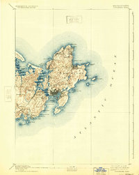
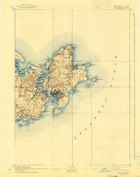
The rocky maritime landscape of Cape Ann is depicted here during the late nineteenth century, showing a network of fishing villages and granite-quarrying hubs connected by the Boston and Maine Railroad. In Gloucester, the dense street layout surrounds the Inner Harbor, while outlying settlements like Annisquam and Lanesville dot the northern coastline. The survey highlights the era's navigational landmarks, from Squam Light guarding Annisquam Harbor to the twin lighthouses on Thatcher Island. Industrial and transport footprints are evident at West Gloucester Station and the quarries near Pigeon Hill. Along the southern shore, the seasonal retreat of Magnolia and the secluded Freshwater Cove Village contrast with the busy commercial docks of East Gloucester. The intricate shoreline details coastal features such as Normans Woe and Halibut Point, reflecting the region's historical reliance on the sea and its stony terrain.
Find a feature on this map
72 named features on this map. Tap any name to fly to it.
Don’t see what you’re looking for? This feature index may not catch every label — zoom into the map to look around manually.
Map Details
Editions of this 1893 Gloucester Map
9 editions found
Other maps of this area

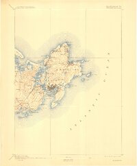
1886 · Gloucester
USGS Topo · 1:62,500

1888 · Newburyport
USGS Topo · 1:62,500

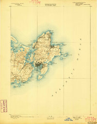
1888 · Gloucester
USGS Topo · 1:62,500

1888 · Salem
USGS Topo · 1:62,500

1890 · Newburyport
USGS Topo · 1:62,500

1892 · Boston Bay
USGS Topo · 1:62,500

1893 · Salem
USGS Topo · 1:62,500

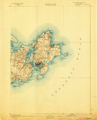
1893 · Gloucester
USGS Topo · 1:62,500

1894 · Newburyport
USGS Topo · 1:62,500

1903 · Boston Bay
USGS Topo · 1:62,500