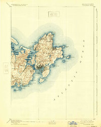
1893 Map of Gloucester
USGS Topo · Published 1933About this map
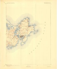
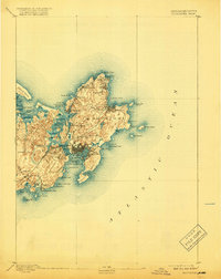
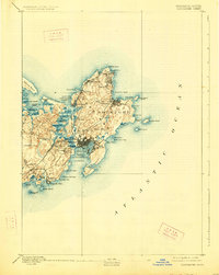
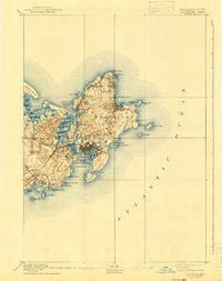
The granite shores of Cape Ann are meticulously charted in this late 19th-century survey, revealing the industrial and maritime character of Gloucester and Rockport. Surveyed in 1886 by E.W. F. Natter, the map illustrates a landscape defined by its connection to the sea and its burgeoning rail infrastructure. The Boston and Maine Railroad cuts across the cape, serving hubs like West Gloucester Station and Magnolia Station, while maritime navigation is anchored by landmarks such as Squam Light and the twin beacons on Thacher Island.
Find a feature on this map
58 named features on this map. Tap any name to fly to it.
Don’t see what you’re looking for? This feature index may not catch every label — zoom into the map to look around manually.
Map Details
Editions of this 1893 Gloucester Map
9 editions found
Other maps of this area

1886 · Gloucester
USGS Topo · 1:62,500

1888 · Newburyport
USGS Topo · 1:62,500

1888 · Gloucester
USGS Topo · 1:62,500

1888 · Salem
USGS Topo · 1:62,500

1890 · Newburyport
USGS Topo · 1:62,500

1892 · Boston Bay
USGS Topo · 1:62,500

1893 · Salem
USGS Topo · 1:62,500

1893 · Gloucester
USGS Topo · 1:62,500

1894 · Newburyport
USGS Topo · 1:62,500

1903 · Boston Bay
USGS Topo · 1:62,500