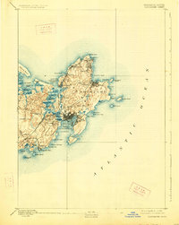
1893 Map of Gloucester
USGS Topo · Published 1926About this map
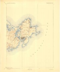
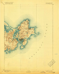
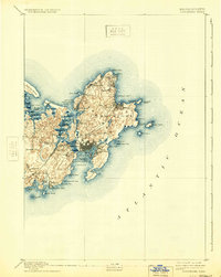
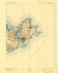
Cape Ann presents a detailed maritime landscape in this late 19th-century survey, centered on the bustling fishing hub of Gloucester. The map captures the intricate coastline from the granite quarries near Rockport and Lanesville to the sheltered waters of Gloucester Harbor. Inland, the Boston and Maine Railroad carves through the terrain, connecting West Gloucester Station and Magnolia Station to the regional network. Settlement patterns are clearly defined, showing the cluster of homes at Freshwater Cove Village and the isolated maritime outposts like Squam Light. The maritime economy of the era is evident in the dense network of coves, such as Whale Cove and Loblolly Cove, and the strategic placement of navigational aids on Eastern Point and Thacher Island. This survey provides a precise look at the North Shore's transition from an industrial quarrying and fishing center to a destination for summer residents at locales like Bass Rocks.
Find a feature on this map
63 named features on this map. Tap any name to fly to it.
Don’t see what you’re looking for? This feature index may not catch every label — zoom into the map to look around manually.
Map Details
Editions of this 1893 Gloucester Map
9 editions found
Other maps of this area

1886 · Gloucester
USGS Topo · 1:62,500

1888 · Newburyport
USGS Topo · 1:62,500

1888 · Gloucester
USGS Topo · 1:62,500

1888 · Salem
USGS Topo · 1:62,500

1890 · Newburyport
USGS Topo · 1:62,500

1892 · Boston Bay
USGS Topo · 1:62,500

1893 · Salem
USGS Topo · 1:62,500

1893 · Gloucester
USGS Topo · 1:62,500

1894 · Newburyport
USGS Topo · 1:62,500

1903 · Boston Bay
USGS Topo · 1:62,500