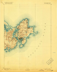
1893 Map of Gloucester
USGS Topo · Published 1918About this map
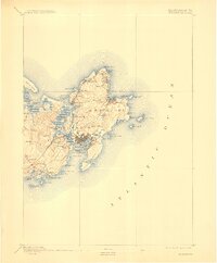
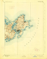
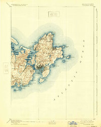
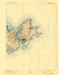
The maritime identity of Cape Ann is established through the intricate coastlines of Gloucester and Rockport as they appeared in the late nineteenth century. The town of Gloucester serves as a dense hub of development, centered on Gloucester Harbor and connected to the mainland via the Boston and Maine Railroad. Further north, smaller villages like Lanesville, Bay View, and Annisquam dot the perimeter of the peninsula, reflecting the era's reliance on both the sea and the local quarrying industry, signified by Pigeon Hill.
Find a feature on this map
63 named features on this map. Tap any name to fly to it.
Don’t see what you’re looking for? This feature index may not catch every label — zoom into the map to look around manually.
Map Details
Editions of this 1893 Gloucester Map
9 editions found
Other maps of this area

1886 · Gloucester
USGS Topo · 1:62,500

1888 · Newburyport
USGS Topo · 1:62,500

1888 · Gloucester
USGS Topo · 1:62,500

1888 · Salem
USGS Topo · 1:62,500

1890 · Newburyport
USGS Topo · 1:62,500

1892 · Boston Bay
USGS Topo · 1:62,500

1893 · Salem
USGS Topo · 1:62,500

1893 · Gloucester
USGS Topo · 1:62,500

1894 · Newburyport
USGS Topo · 1:62,500

1903 · Boston Bay
USGS Topo · 1:62,500