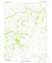
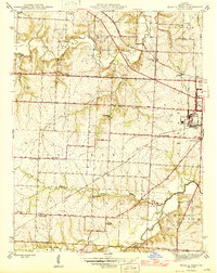
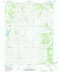
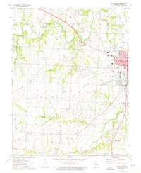
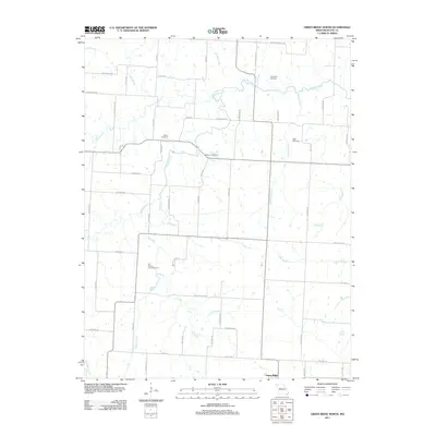
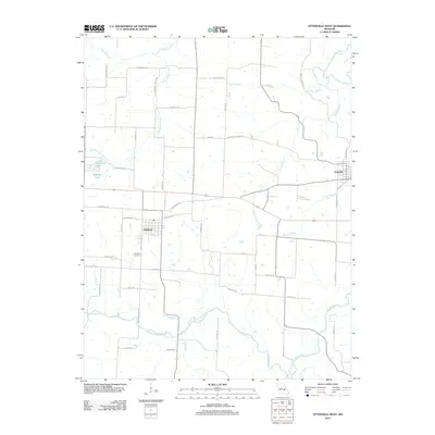
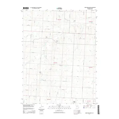
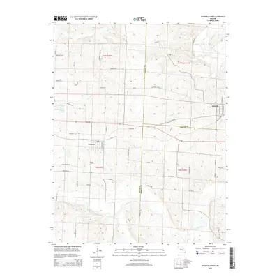
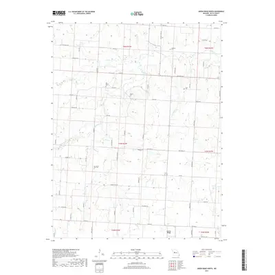
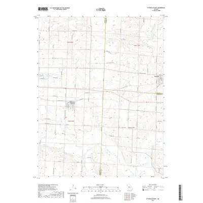
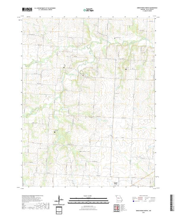
1973 Map of Green Ridge North
USGS Topo · Published 1974About this map
Green Ridge anchors the southern portion of this Missouri landscape, situated where the Missouri - Kansas - Texas railroad cuts through the prairie. This area of Pettis County is defined by a dense network of waterways, most notably the winding course of Muddy Creek and the confluence of the Elk Fork and West Fork Elk Fork. The map provides significant genealogical value through its preservation of numerous small burial grounds associated with early local families, including Craighead Cem, Bethel Cem, and Botts Cem.
Find a feature on this map
28 named features on this map. Tap any name to fly to it.
Don’t see what you’re looking for? This feature index may not catch every label — zoom into the map to look around manually.
Map Details
Editions of this 1973 Green Ridge North Map
This is the sole edition of this map. No revisions or reprints were ever made.
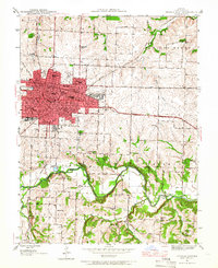
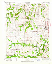
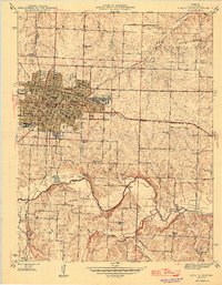
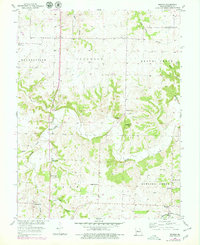
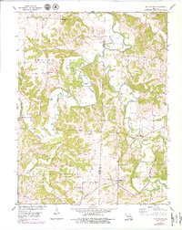
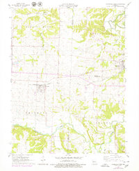
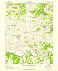
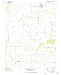
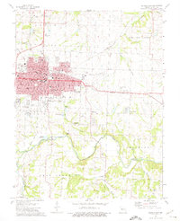
Historical Maps of Green Ridge Through Time
47 maps found
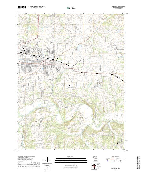
1944 Sedalia East
Pettis County, MO
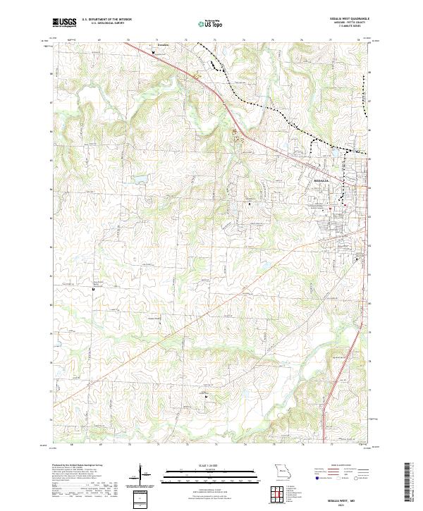
1944 Sedalia West
Pettis County, MO
1946 Sedalia East
Pettis County, MO
1946 Sedalia West
Pettis County, MO
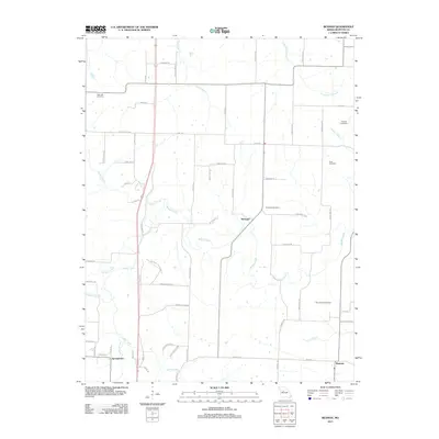
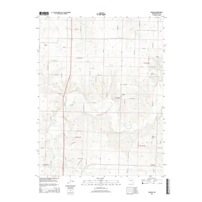
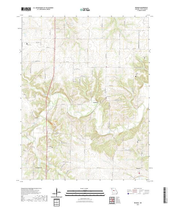
1953 Beaman
Pettis County, MO
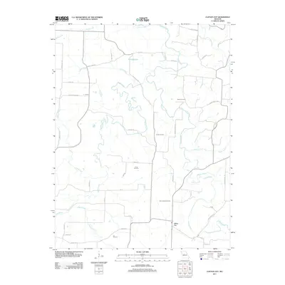
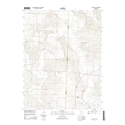
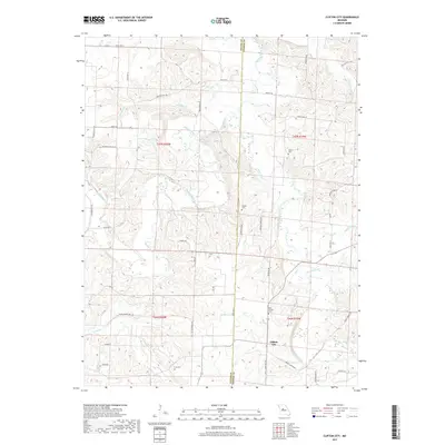
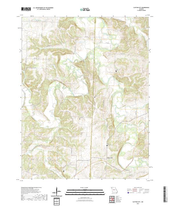
1953 Clifton City
Pettis County, MO
1960 Otterville West
Pettis County, MO
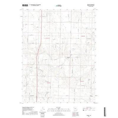
1961 Bahner
Pettis County, MO
1961 Otterville West
Pettis County, MO
1973 Green Ridge North
Pettis County, MO
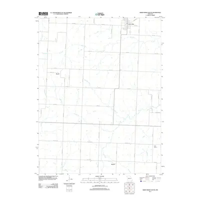
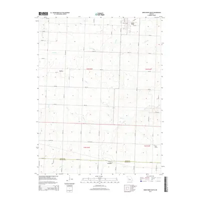
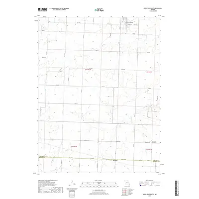
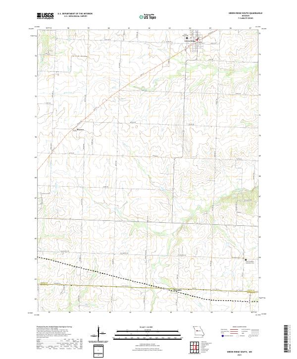
1973 Green Ridge South
Pettis County, MO
1973 Sedalia East
Pettis County, MO
1973 Sedalia West
Pettis County, MO
1980 Sedalia East
Pettis County, MO
1980 Sedalia West
Pettis County, MO
2011 Bahner
Pettis County, MO
2011 Beaman
Pettis County, MO
2011 Clifton City
Pettis County, MO
2011 Green Ridge North
Pettis County, MO
2011 Green Ridge South
Pettis County, MO
2011 Otterville West
Pettis County, MO
2011 Sedalia East
Pettis County, MO
2011 Sedalia West
Pettis County, MO
2014 Bahner
Pettis County, MO
2014 Beaman
Pettis County, MO
2014 Clifton City
Pettis County, MO
2014 Green Ridge North
Pettis County, MO
2014 Green Ridge South
Pettis County, MO
2014 Otterville West
Pettis County, MO
2014 Sedalia East
Pettis County, MO
2014 Sedalia West
Pettis County, MO
2017 Bahner
Pettis County, MO
2017 Beaman
Pettis County, MO
2017 Clifton City
Pettis County, MO
2017 Green Ridge North
Pettis County, MO
2017 Green Ridge South
Pettis County, MO
2017 Otterville West
Pettis County, MO
2017 Sedalia East
Pettis County, MO
2017 Sedalia West
Pettis County, MO
2021 Bahner
Pettis County, MO
2021 Beaman
Pettis County, MO
2021 Clifton City
Pettis County, MO
2021 Green Ridge North
Pettis County, MO
2021 Green Ridge South
Pettis County, MO
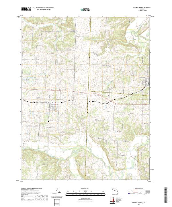
2021 Otterville West
Pettis County, MO
2021 Sedalia East
Pettis County, MO
2021 Sedalia West
Pettis County, MO