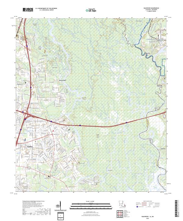
2024 Map of Haaswood
USGS Topo · Published 2024About this map
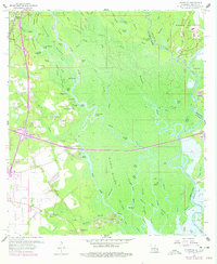
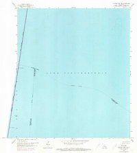
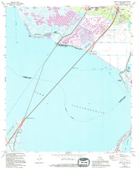
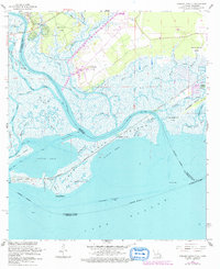
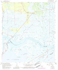
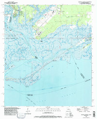
The West Pearl River and its intricate network of bayous dominate this coastal borderland where Louisiana meet Mississippi. The landscape is a complex system of islands and waterways, including Whisky Island, Goat Island, and Maddens Island, separated by channels like Porters River and Cradock Slough. This fluvial environment shapes the settlement patterns, with the town of Pearl River and the expanding outskirts of Slidell situated on higher ground to the west, while small riverfront localities like Morgan Bluff and Napoleon sit along the banks.
Find a feature on this map
213 named features on this map. Tap any name to fly to it.
Don’t see what you’re looking for? This feature index may not catch every label — zoom into the map to look around manually.
Map Details
Editions of this 2024 Haaswood Map
This is the sole edition of this map. No revisions or reprints were ever made.
Historical Maps of Abney Country Air Through Time
45 maps found

1935 English Lookout
St. Tammany Parish, LA

1936 North Shore
St. Tammany Parish, LA

1941 Honey Island
St. Tammany Parish, LA

1942 Onville
St. Tammany Parish, LA

1942 Pools Bluff
St. Tammany Parish, LA

1942 Talisheek
St. Tammany Parish, LA

1942 Waldheim
St. Tammany Parish, LA

1942 Walkiah Bluff
St. Tammany Parish, LA

1946 Rigolets
St. Tammany Parish, LA

1950 Haaswood
St. Tammany Parish, LA
1951 North Shore
St. Tammany Parish, LA

1954 English Lookout
St. Tammany Parish, LA

1954 Haaswood
St. Tammany Parish, LA

1954 Rigolets
St. Tammany Parish, LA
1956 English Lookout
St. Tammany Parish, LA
1956 Rigolets
St. Tammany Parish, LA
1959 Haaswood
St. Tammany Parish, LA
1965 Spanish Fort NE
St. Tammany Parish, LA
1967 North Shore
St. Tammany Parish, LA
1968 Covington SW
St. Tammany Parish, LA
1968 English Lookout
St. Tammany Parish, LA
1968 Rigolets
St. Tammany Parish, LA
1970 St. Tammany
St. Tammany Parish, LA
1971 Hickory
St. Tammany Parish, LA

1976 Folsom NW
St. Tammany Parish, LA
1983 Bush
St. Tammany Parish, LA
1983 Martinville
St. Tammany Parish, LA
1983 Waldheim
St. Tammany Parish, LA
1993 English Lookout
St. Tammany Parish, LA

1993 Haaswood
St. Tammany Parish, LA

1993 Rigolets
St. Tammany Parish, LA

1998 Haaswood
St. Tammany Parish, LA

1998 Hickory
St. Tammany Parish, LA

1998 Rigolets
St. Tammany Parish, LA
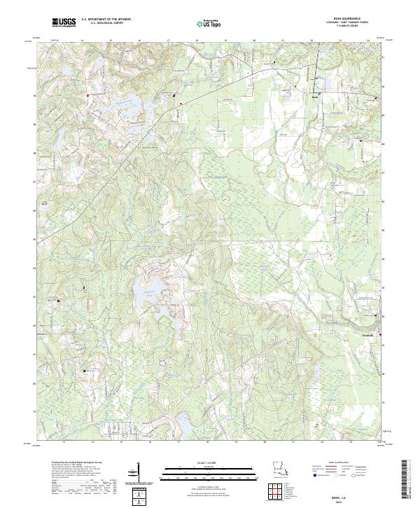
2024 Bush
St. Tammany Parish, LA
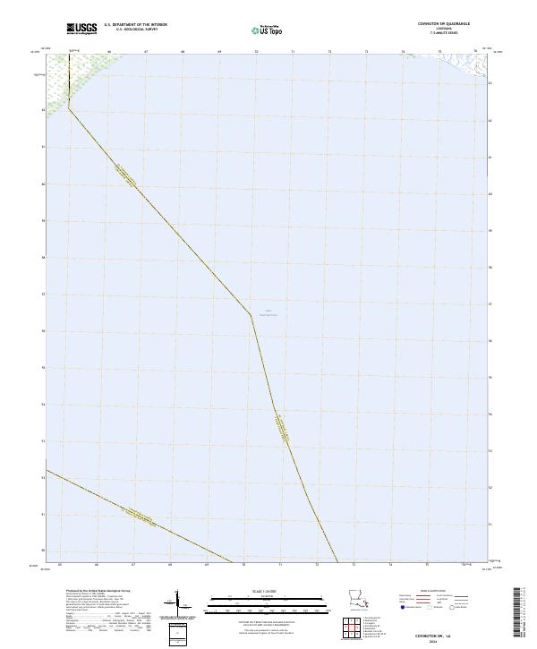
2024 Covington SW
St. Tammany Parish, LA
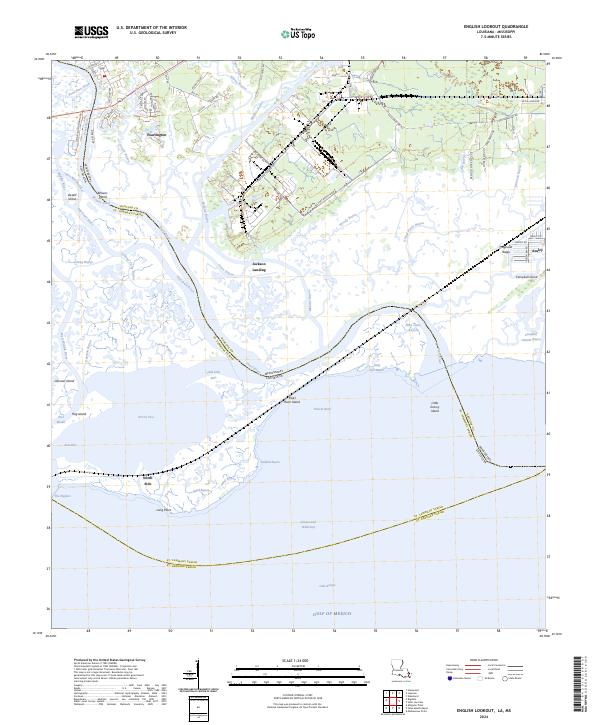
2024 English Lookout
St. Tammany Parish, LA
2024 Haaswood
St. Tammany Parish, LA
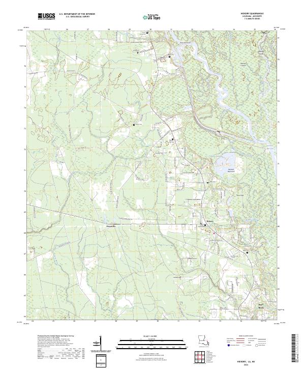
2024 Hickory
St. Tammany Parish, LA
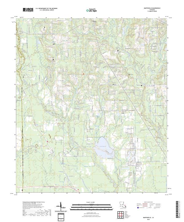
2024 Martinville
St. Tammany Parish, LA
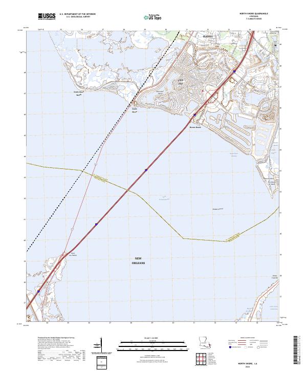
2024 North Shore
St. Tammany Parish, LA
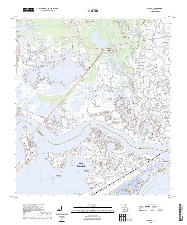
2024 Rigolets
St. Tammany Parish, LA
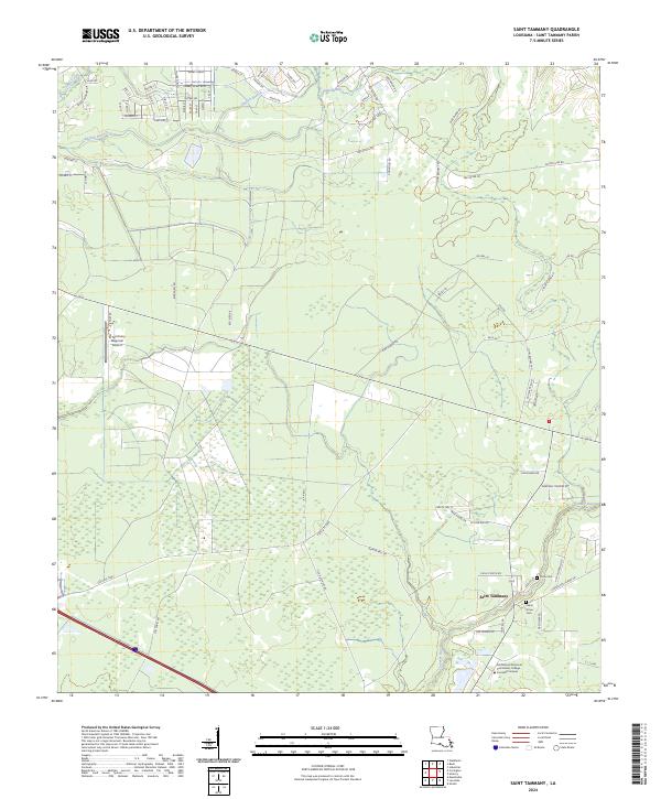
2024 Saint Tammany
St. Tammany Parish, LA
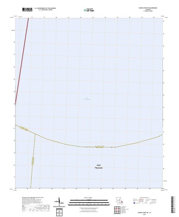
2024 Spanish Fort NE
St. Tammany Parish, LA
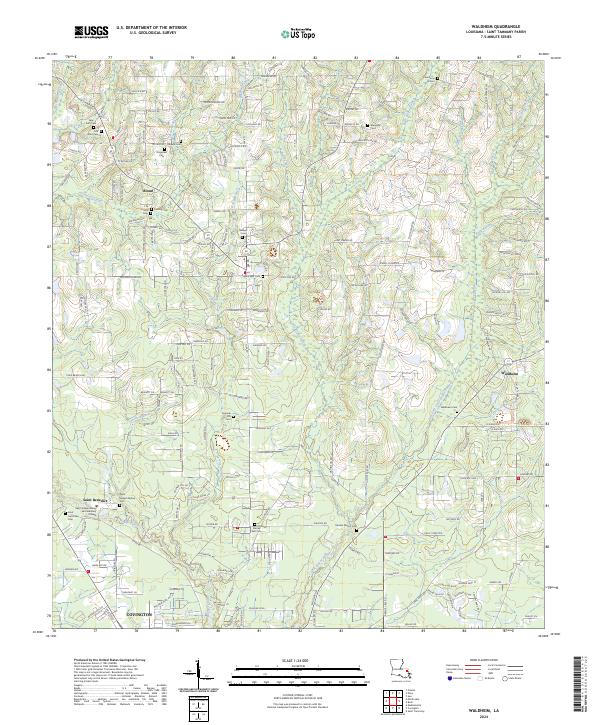
2024 Waldheim
St. Tammany Parish, LA