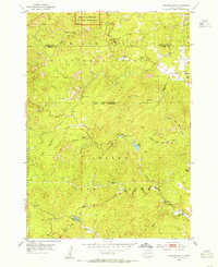
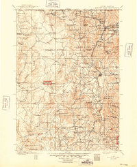
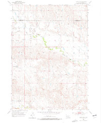
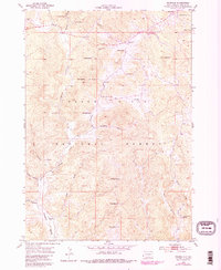
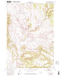
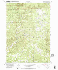
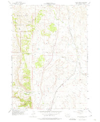
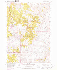
1954 Map of Iron Mountain
USGS Topo · Published 1955This historical map portrays the area of Iron Mountain in 1954, primarily covering Custer County as well as portions of Pennington County. Featuring a scale of 1:24000, this map provides a highly detailed snapshot of the terrain, roads, buildings, counties, and historical landmarks in the Iron Mountain region at the time. Published in 1955, it is one of 5 known editions of this map due to revisions or reprints.
Find a feature on this map
37 named features on this map. Tap any name to fly to it.
Don’t see what you’re looking for? This feature index may not catch every label — zoom into the map to look around manually.
Map Details
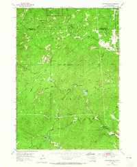
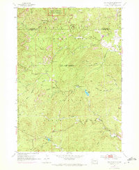
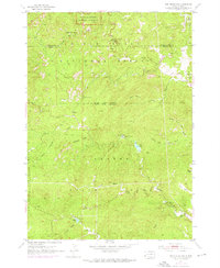
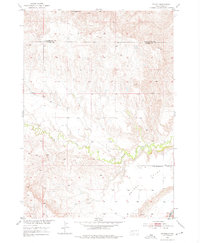
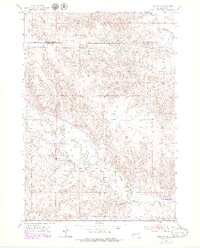
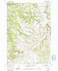
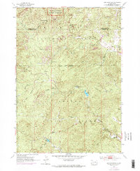
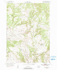
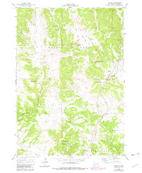
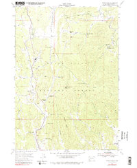
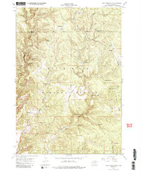
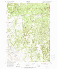
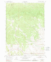
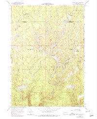
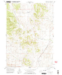
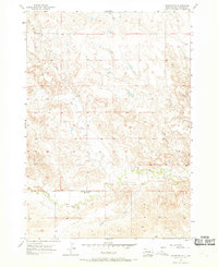
Editions of this 1954 Iron Mountain Map
5 editions found
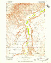
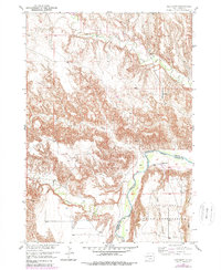
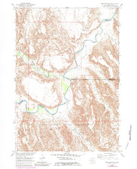
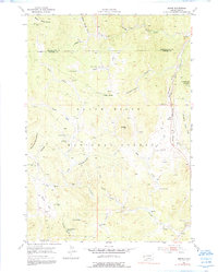
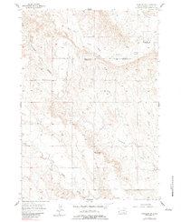
Historical Maps of Custer County Through Time
29 maps found

1896 Harney Peak
Custer County, SD
1901 Harney Peak
Custer County, SD
1951 Fairburn SE
Custer County, SD
1951 Red Shirt
Custer County, SD
1951 Red Shirt NE
Custer County, SD
1953 Caputa SW
Custer County, SD
1953 Folsom
Custer County, SD
1953 Hermosa SE
Custer County, SD
1954 Berne
Custer County, SD
1954 Fourmile
Custer County, SD
1954 Hayward
Custer County, SD
1954 Iron Mountain
Custer County, SD
1954 Jewel Cave SE
Custer County, SD
1954 Jewel Cave SW
Custer County, SD
1955 Argyle
Custer County, SD
1955 Cicero Peak
Custer County, SD
1955 Dead Horse Flats
Custer County, SD
1955 Jewel Cave
Custer County, SD
1955 Jewel Cave NW
Custer County, SD
1955 Mt. Coolidge
Custer County, SD
1955 Signal Hill
Custer County, SD
1957 Boland Ridge
Custer County, SD
1957 Butcher Hill
Custer County, SD
1957 Fairburn NE
Custer County, SD
1957 Fairburn SW
Custer County, SD
1957 Wind Cave
Custer County, SD

1977 Mount Rushmore
Custer County, SD
1998 Hayward
Custer County, SD

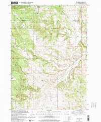
1998 Iron Mountain
Custer County, SD