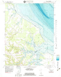
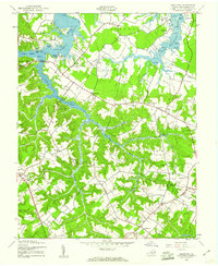
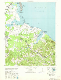
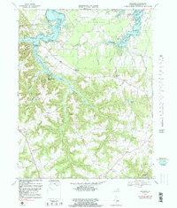
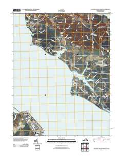
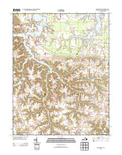
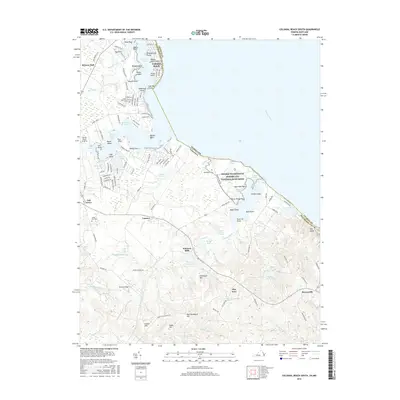
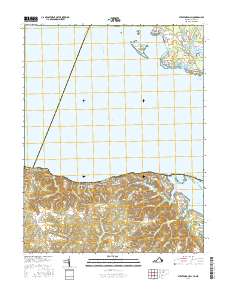
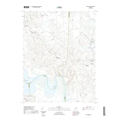
1968 Map of Kinsale
USGS Topo · Published 1983About this map
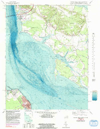
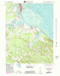
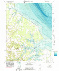
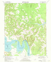
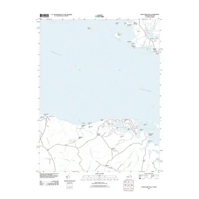
Kinsale sits at the heart of this survey, established where the Kinsale Branch meets the West Yeocomico River. The landscape is defined by the intricate finger-like points and coves of the Yeocomico River system as it drains into the Potomac River. This 1968 study, updated with bathymetry in the early 1980s, reveals a coastal economy transitioning from its colonial roots, visible in landmarks like the Great House and the venerable Yeocomico Ch.
Find a feature on this map
66 named features on this map. Tap any name to fly to it.
Don’t see what you’re looking for? This feature index may not catch every label — zoom into the map to look around manually.
Map Details
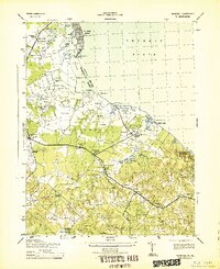
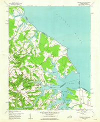
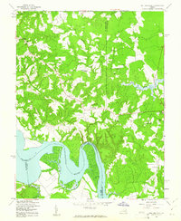
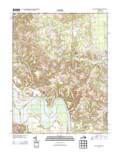
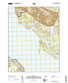
Editions of this 1968 Kinsale Map
4 editions found
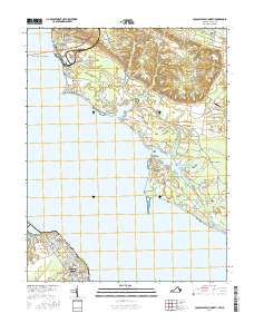
Historical Maps of Sandy Point Through Time
45 maps found

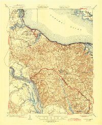
1930 Wakefield
Westmoreland County, VA
1932 Wakefield
Westmoreland County, VA

1942 Rollins Fork
Westmoreland County, VA
1943 Machodoc
Westmoreland County, VA
1943 Wakefield
Westmoreland County, VA
1943 Yeocomico River
Westmoreland County, VA
1949 Rollins Fork
Westmoreland County, VA
1953 Wakefield
Westmoreland County, VA
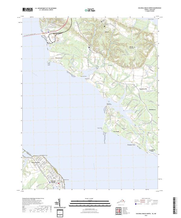
1968 Colonial Beach North
Westmoreland County, VA
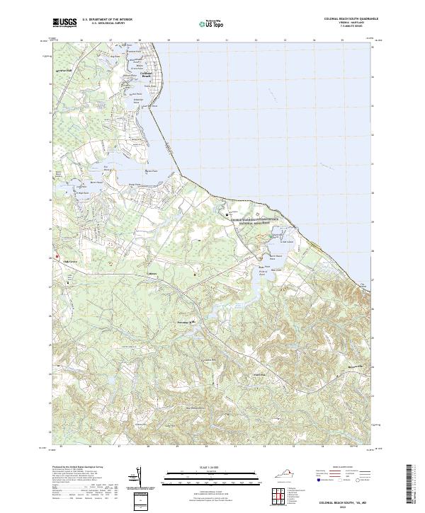
1968 Colonial Beach South
Westmoreland County, VA
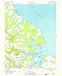
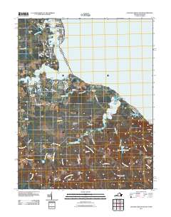
1968 Kinsale
Westmoreland County, VA
1968 Machodoc
Westmoreland County, VA
1968 Rollins Fork
Westmoreland County, VA

1968 Stratford Hall
Westmoreland County, VA
1981 Stratford Hall
Westmoreland County, VA
2010 Machodoc
Westmoreland County, VA
2011 Colonial Beach North
Westmoreland County, VA
2011 Colonial Beach South
Westmoreland County, VA
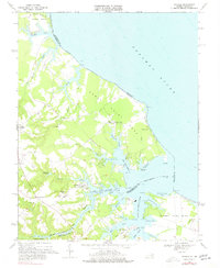
2011 Kinsale
Westmoreland County, VA
2011 Rollins Fork
Westmoreland County, VA
2011 Stratford Hall
Westmoreland County, VA
2013 Colonial Beach North
Westmoreland County, VA
2013 Colonial Beach South
Westmoreland County, VA
2013 Kinsale
Westmoreland County, VA
2013 Machodoc
Westmoreland County, VA
2013 Rollins Fork
Westmoreland County, VA
2013 Stratford Hall
Westmoreland County, VA
2016 Colonial Beach North
Westmoreland County, VA
2016 Colonial Beach South
Westmoreland County, VA
2016 Kinsale
Westmoreland County, VA
2016 Machodoc
Westmoreland County, VA
2016 Rollins Fork
Westmoreland County, VA
2016 Stratford Hall
Westmoreland County, VA
2019 Colonial Beach North
Westmoreland County, VA

2019 Colonial Beach South
Westmoreland County, VA
2019 Kinsale
Westmoreland County, VA
2019 Machodoc
Westmoreland County, VA
2019 Rollins Fork
Westmoreland County, VA
2019 Stratford Hall
Westmoreland County, VA
2022 Colonial Beach North
Westmoreland County, VA
2022 Colonial Beach South
Westmoreland County, VA
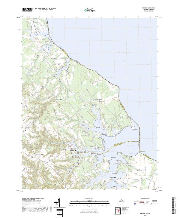
2022 Kinsale
Westmoreland County, VA
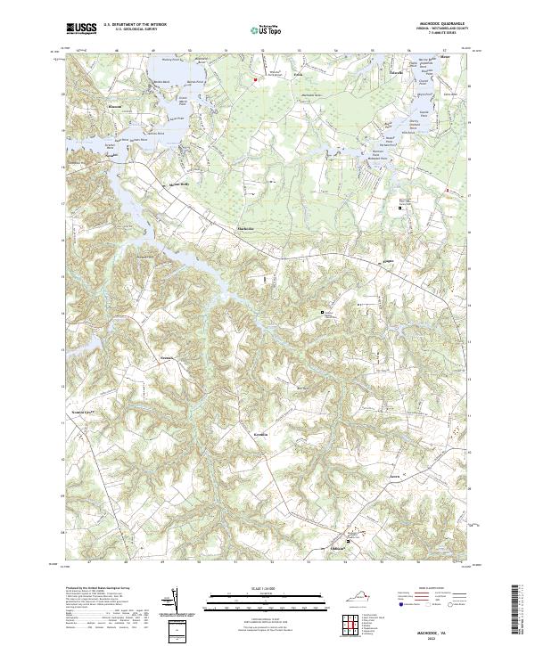
2022 Machodoc
Westmoreland County, VA
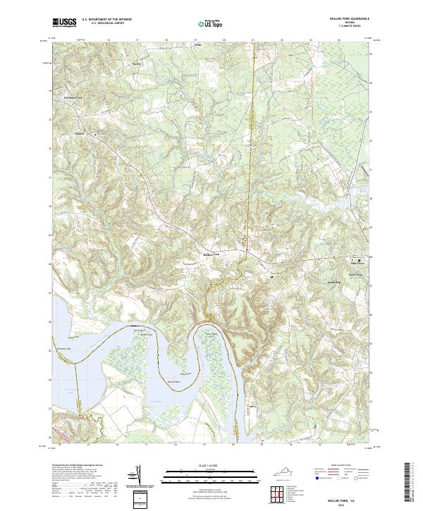
2022 Rollins Fork
Westmoreland County, VA
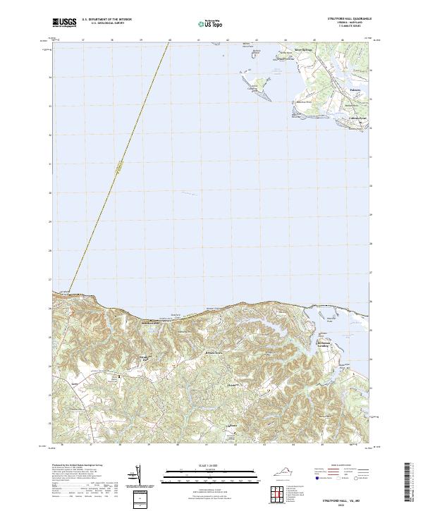
2022 Stratford Hall
Westmoreland County, VA