
1952 Map of Lake Wales
USGS Topo · Published 1953About this map
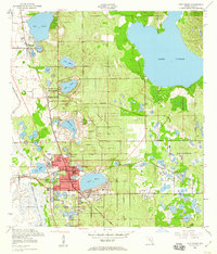
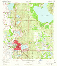
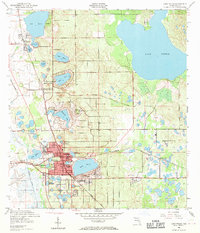
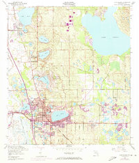
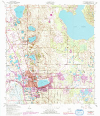
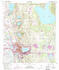
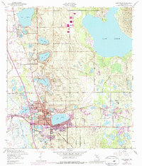
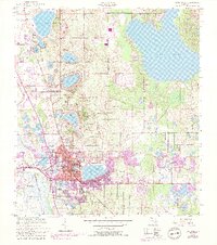
Lake Wales sits at the heart of this early 1950s survey, surrounded by the distinctive citrus-growing geography of Florida’s central ridge. The map highlights a landscape dominated by dozens of water bodies, from the expansive Lake Pierce to smaller named basins like Lake Serena, Lake Effie, and Lake Altamaha. A notable landmark is the prominent Bok Tower atop Iron Mountain, marking one of the highest points in the state.
Find a feature on this map
39 named features on this map. Tap any name to fly to it.
Don’t see what you’re looking for? This feature index may not catch every label — zoom into the map to look around manually.
Map Details
Editions of this 1952 Lake Wales Map
9 editions found
Other maps of this area

1952 · Babson Park
USGS Topo · 1:24,000

1952 · Hesperides
USGS Topo · 1:24,000

1952 · Lake Weohyakapka
USGS Topo · 1:24,000

1953 · Dundee
USGS Topo · 1:24,000

1953 · Lake Hatchineha
USGS Topo · 1:24,000

1955 · Eloise
USGS Topo · 1:24,000

1955 · Alturas
USGS Topo · 1:24,000

1955 · Orlando
USGS Topo · 1:250,000

1956 · Fort Pierce
USGS Topo · 1:250,000

1957 · Orlando
USGS Topo · 1:250,000