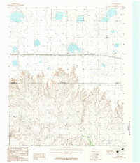
1983 Map of Lark
USGS Topo · Published 1984About this map
The settlement of Lark anchors this 1980s survey along the northern High Plains, where the flat agricultural tableland drops abruptly into the complex canyon topography of the Salt Fork Red River. This transition is clearly marked by the Indefinite Boundary and the line separating Carson Co Armstrong Co. While the north is defined by rural infrastructure like Grain Bins and the thoroughfares of 40 and 66, the southern half of the map reveals the intricate drainage patterns that feed into the Red River system. Local activity is concentrated near the railroad corridor, evidenced by a Cem and Gravel extraction sites, reflecting the primary industries and small-town footprint of this Panhandle region during the early 1980s.
Find a feature on this map
12 named features on this map. Tap any name to fly to it.
Don’t see what you’re looking for? This feature index may not catch every label — zoom into the map to look around manually.
Map Details
Editions of this 1983 Lark Map
This is the sole edition of this map. No revisions or reprints were ever made.
Historical Maps of Lark Through Time
26 maps found

1953 Borger SE
Carson County, TX

1953 Deal
Carson County, TX
1953 McBride
Carson County, TX
1953 Pomeroy
Carson County, TX
1953 Sevenmile Basin
Carson County, TX

1965 Abell
Carson County, TX
1966 Cuyler
Carson County, TX

1966 Panhandle East
Carson County, TX

1966 Panhandle West
Carson County, TX

1966 White Deer SW
Carson County, TX
1983 Claude NE
Carson County, TX
1983 Conway
Carson County, TX
1983 Lark
Carson County, TX
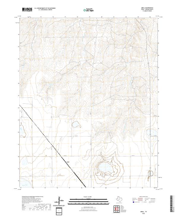
2022 Abell
Carson County, TX
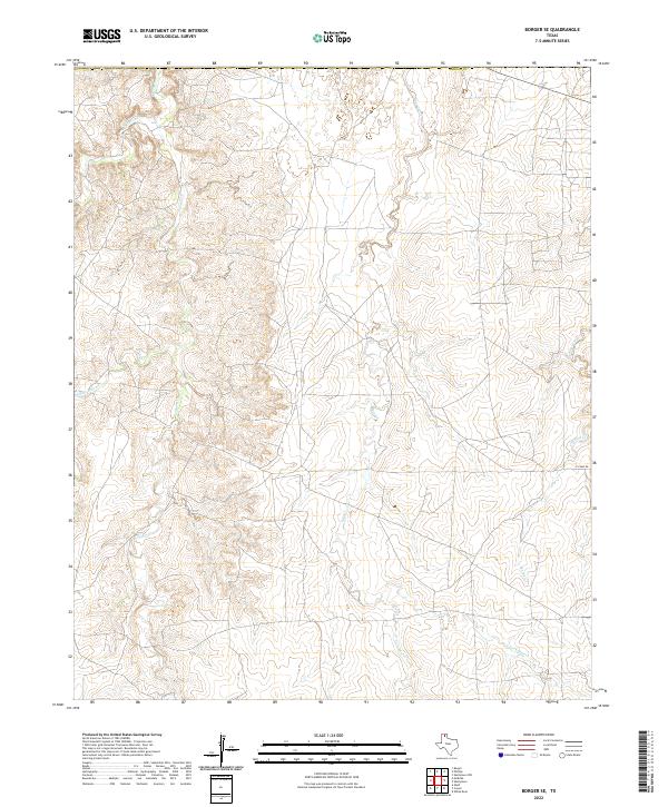
2022 Borger SE
Carson County, TX
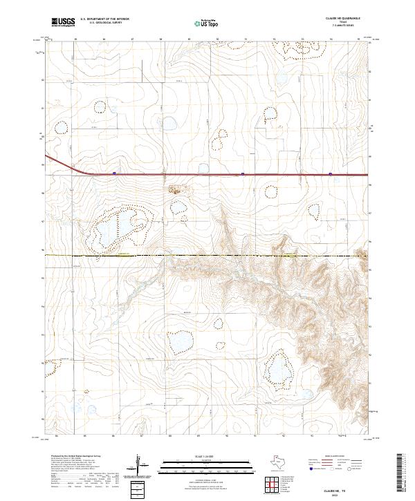
2022 Claude NE
Carson County, TX
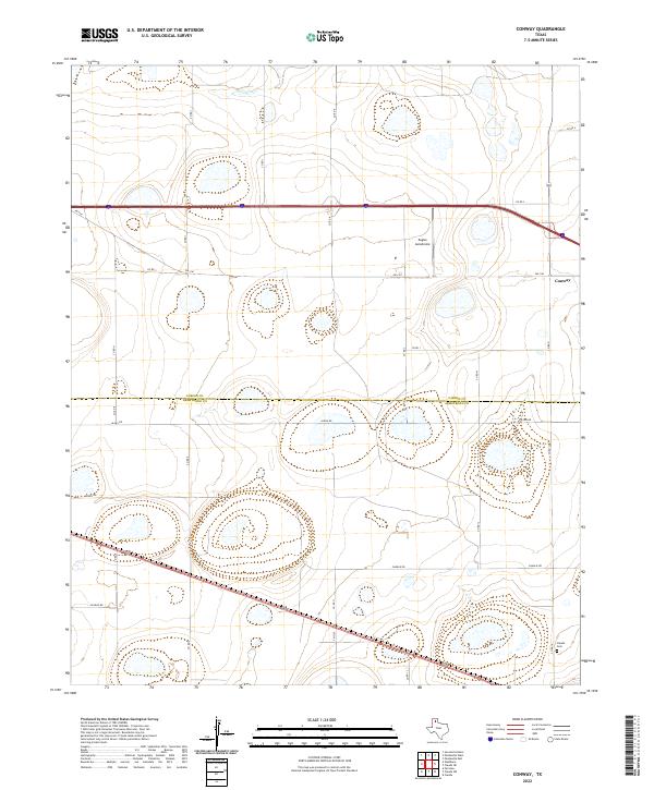
2022 Conway
Carson County, TX
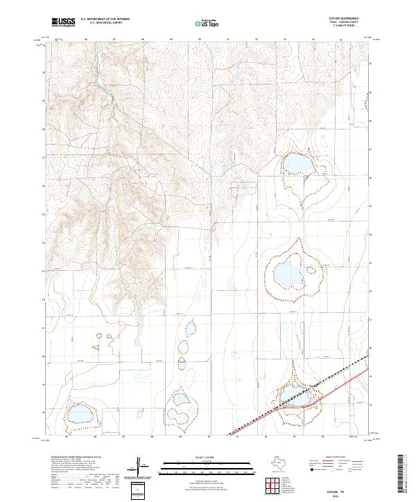
2022 Cuyler
Carson County, TX
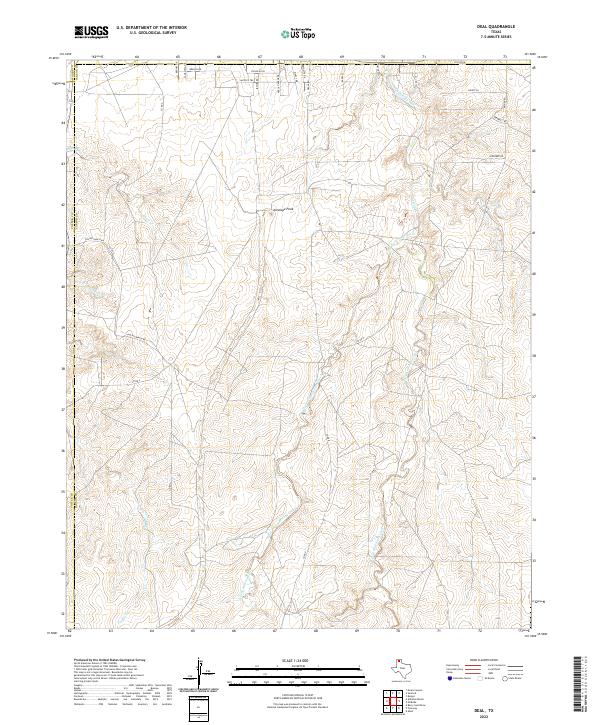
2022 Deal
Carson County, TX
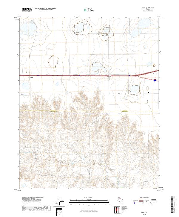
2022 Lark
Carson County, TX
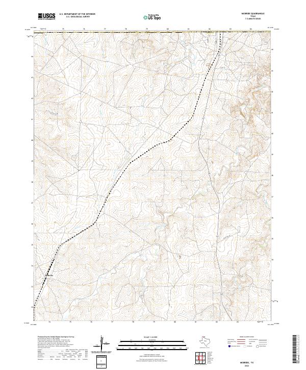
2022 McBride
Carson County, TX
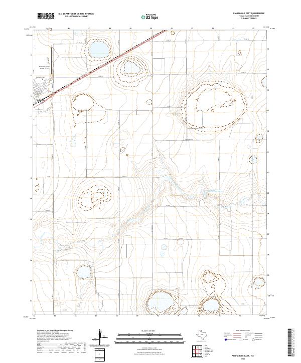
2022 Panhandle East
Carson County, TX
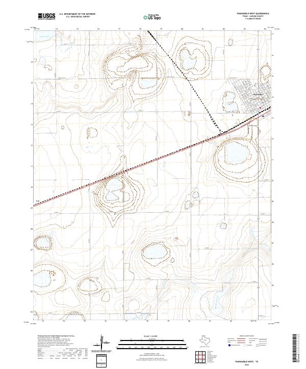
2022 Panhandle West
Carson County, TX
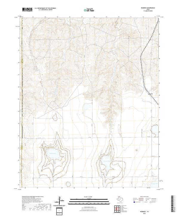
2022 Pomeroy
Carson County, TX
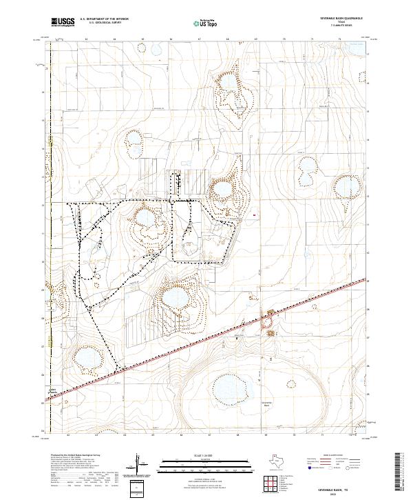
2022 Sevenmile Basin
Carson County, TX
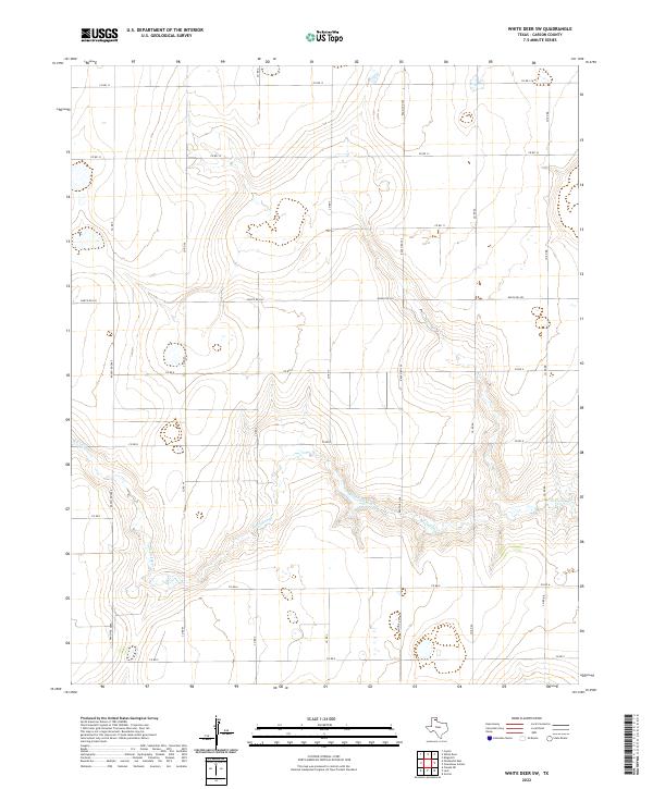
2022 White Deer SW
Carson County, TX