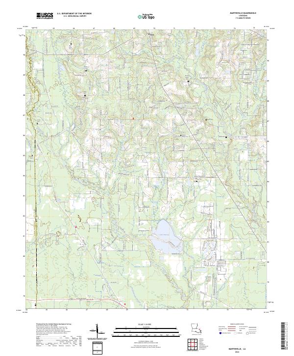
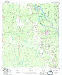
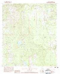
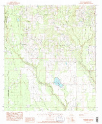
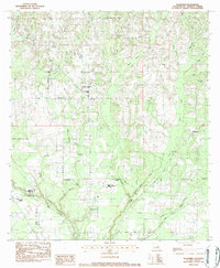
2024 Map of Martinville
USGS Topo · Published 2024About this map
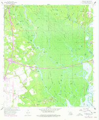
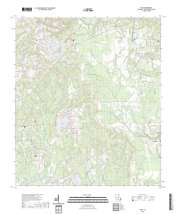
The Tchefuncte River and its numerous tributaries, including Savannah Branch and Horse Branch, dominate the hydrology of this St. Tammany Parish landscape. Settlement centers around Folsom in the north, while the southern portion features the expansive Lake Ramsay Savannah Wildlife Management Area surrounding Lake Ramsay. For genealogists and local historians, the area is notable for its high density of family and community burial grounds, such as Saint Johns Cem, Fendlason Cem, Willie Cem, and Bruhl Cem. The road network is heavily influenced by historical property lines and local family names, with routes like Willie Cemetary Rd and Tantela Ranch Rd providing access to rural homesteads and agricultural tracts. In the southeast, the Covington-Vincent Airport serves as a modern transportation hub, contrasting with the dense network of creeks and branches like Soap and Tallow Branch and Simalusa Creek that drain the timbered and low-lying terrain.
Find a feature on this map
169 named features on this map. Tap any name to fly to it.
Don’t see what you’re looking for? This feature index may not catch every label — zoom into the map to look around manually.
Map Details
Editions of this 2024 Martinville Map
This is the sole edition of this map. No revisions or reprints were ever made.
Historical Maps of Folsom Through Time
45 maps found

1935 English Lookout
St. Tammany Parish, LA

1936 North Shore
St. Tammany Parish, LA

1941 Honey Island
St. Tammany Parish, LA

1942 Onville
St. Tammany Parish, LA

1942 Pools Bluff
St. Tammany Parish, LA

1942 Talisheek
St. Tammany Parish, LA

1942 Waldheim
St. Tammany Parish, LA

1942 Walkiah Bluff
St. Tammany Parish, LA

1946 Rigolets
St. Tammany Parish, LA

1950 Haaswood
St. Tammany Parish, LA
1951 North Shore
St. Tammany Parish, LA

1954 English Lookout
St. Tammany Parish, LA

1954 Haaswood
St. Tammany Parish, LA

1954 Rigolets
St. Tammany Parish, LA
1956 English Lookout
St. Tammany Parish, LA
1956 Rigolets
St. Tammany Parish, LA
1959 Haaswood
St. Tammany Parish, LA
1965 Spanish Fort NE
St. Tammany Parish, LA
1967 North Shore
St. Tammany Parish, LA
1968 Covington SW
St. Tammany Parish, LA
1968 English Lookout
St. Tammany Parish, LA
1968 Rigolets
St. Tammany Parish, LA
1970 St. Tammany
St. Tammany Parish, LA
1971 Hickory
St. Tammany Parish, LA

1976 Folsom NW
St. Tammany Parish, LA
1983 Bush
St. Tammany Parish, LA
1983 Martinville
St. Tammany Parish, LA
1983 Waldheim
St. Tammany Parish, LA
1993 English Lookout
St. Tammany Parish, LA

1993 Haaswood
St. Tammany Parish, LA

1993 Rigolets
St. Tammany Parish, LA

1998 Haaswood
St. Tammany Parish, LA

1998 Hickory
St. Tammany Parish, LA

1998 Rigolets
St. Tammany Parish, LA
2024 Bush
St. Tammany Parish, LA
2024 Covington SW
St. Tammany Parish, LA
2024 English Lookout
St. Tammany Parish, LA
2024 Haaswood
St. Tammany Parish, LA
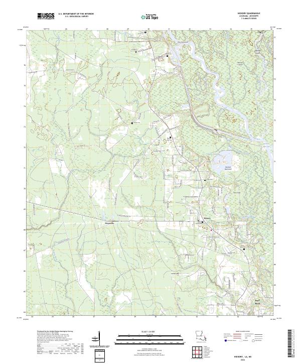
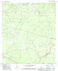
2024 Hickory
St. Tammany Parish, LA
2024 Martinville
St. Tammany Parish, LA
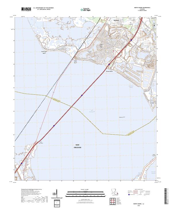
2024 North Shore
St. Tammany Parish, LA
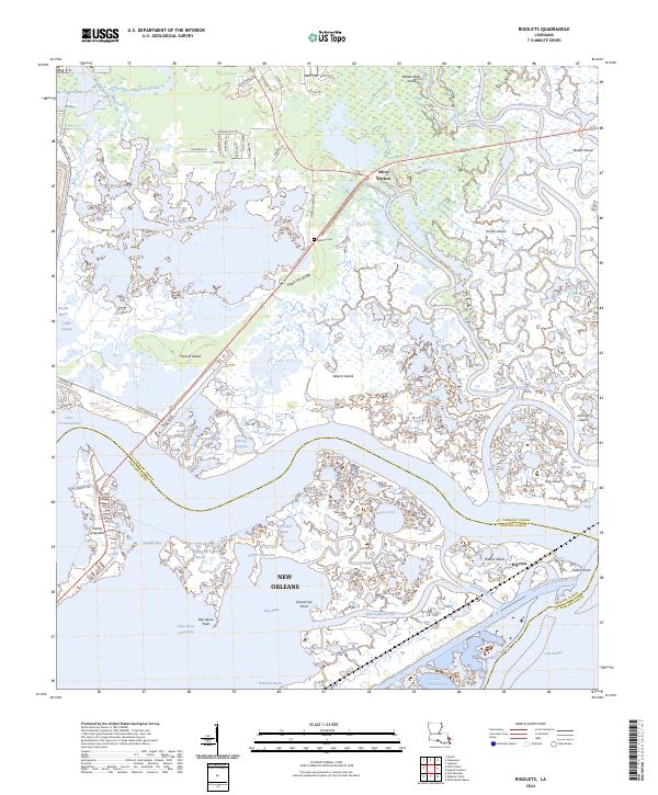
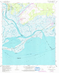
2024 Rigolets
St. Tammany Parish, LA
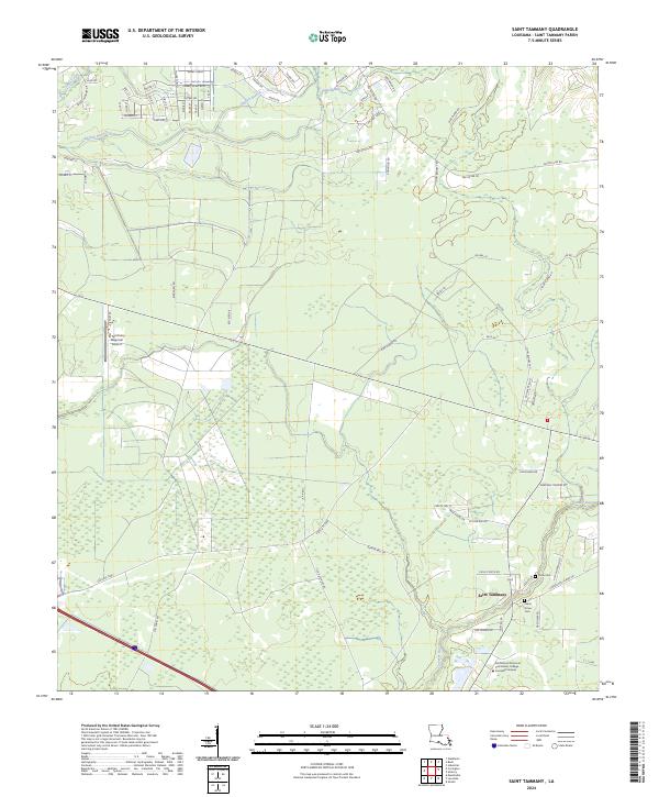
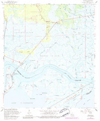
2024 Saint Tammany
St. Tammany Parish, LA
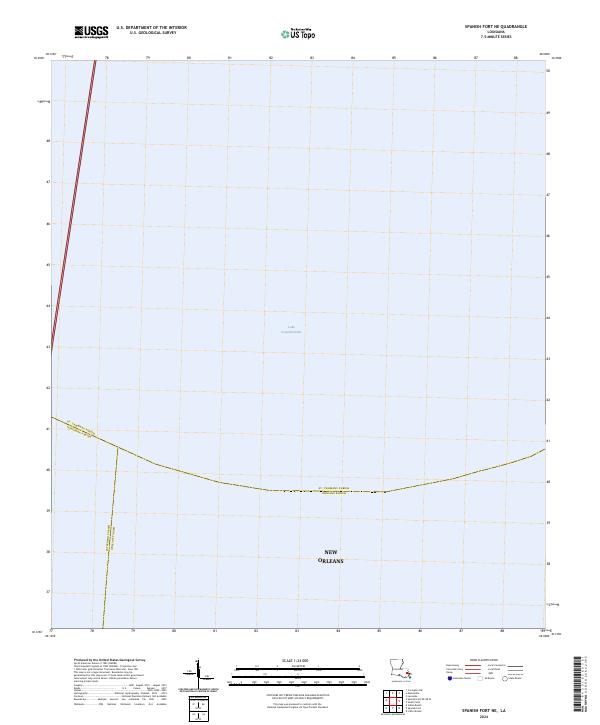
2024 Spanish Fort NE
St. Tammany Parish, LA
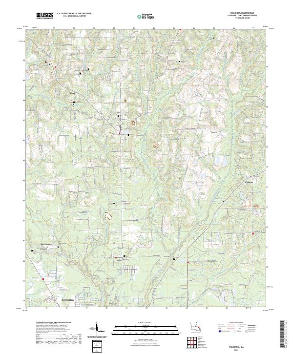
2024 Waldheim
St. Tammany Parish, LA