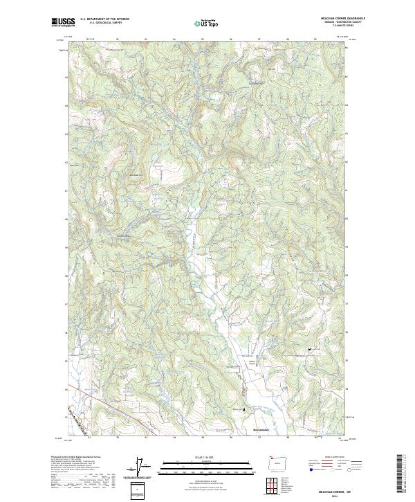
2024 Map of Meacham Corner
USGS Topo · Published 2024About this map
Mountaindale sits at the southern edge of this landscape, where the valley floor begins to transition into the rising elevations of Pumpkin Ridge and Bald Mtn. The terrain is defined by the complex drainage of the East Fork Dairy Creek and its many tributaries, including McKay Creek and Gumm Creek. This area of Washington County is dotted with small-scale water management features such as Spaniol 32 Reservoir, Bateman Reservoir, and the Dam Site Reservoir, suggesting a history of agricultural reliance on these upland catchments.
Find a feature on this map
84 named features on this map. Tap any name to fly to it.
Don’t see what you’re looking for? This feature index may not catch every label — zoom into the map to look around manually.
Map Details
Editions of this 2024 Meacham Corner Map
This is the sole edition of this map. No revisions or reprints were ever made.
Historical Maps of Washington County Through Time
27 maps found

1941 Gales Creek
Washington County, OR

1941 Timber
Washington County, OR
1953 Dixie Mountain
Washington County, OR
1954 Scholls
Washington County, OR
1955 Timber
Washington County, OR
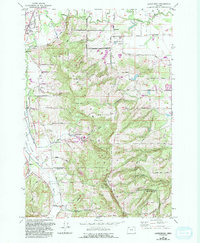
1956 Laurelwood
Washington County, OR
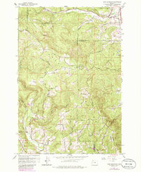
1961 Dixie Mountain
Washington County, OR
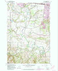
1961 Scholls
Washington County, OR
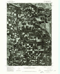
1974 Weiser South
Washington County, OR
1979 Buxton
Washington County, OR
1979 Gales Creek
Washington County, OR
1979 Gobblers Knob
Washington County, OR
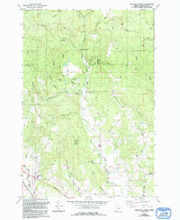
1979 Meacham Corner
Washington County, OR
1979 Roaring Creek
Washington County, OR
1979 Timber
Washington County, OR
1979 Turner Creek
Washington County, OR
1990 Dixie Mountain
Washington County, OR
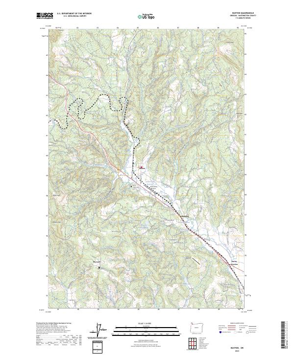
2023 Buxton
Washington County, OR
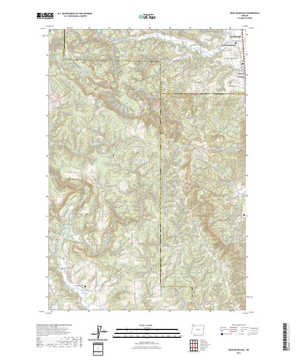
2023 Dixie Mountain
Washington County, OR
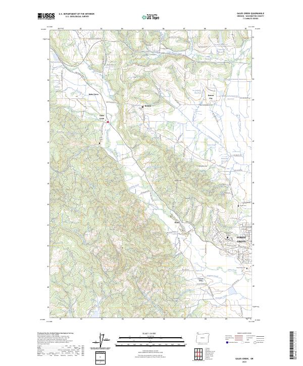
2023 Gales Creek
Washington County, OR
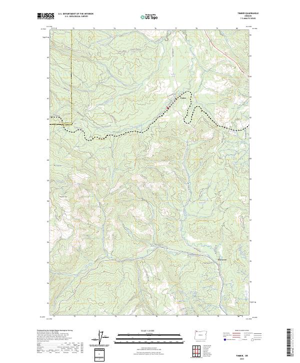
2023 Timber
Washington County, OR
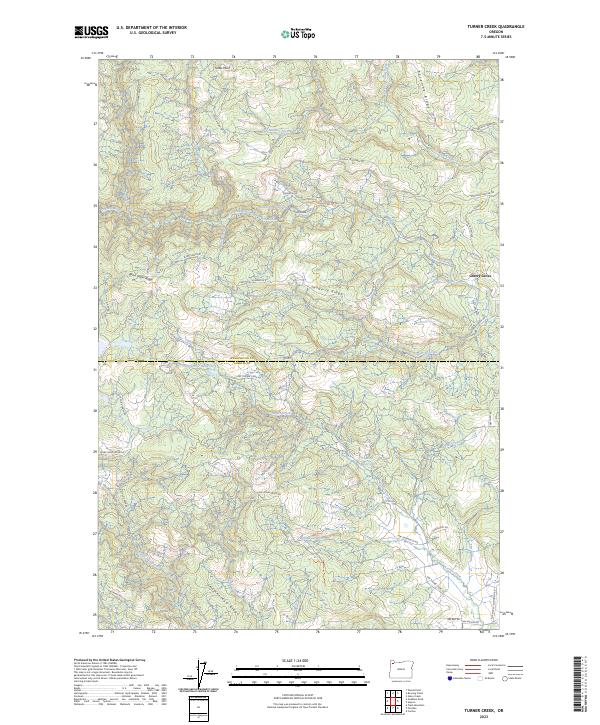
2023 Turner Creek
Washington County, OR
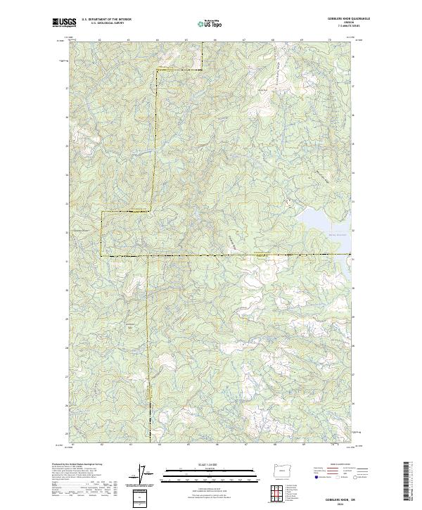
2024 Gobblers Knob
Washington County, OR
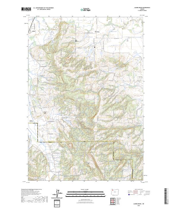
2024 Laurelwood
Washington County, OR
2024 Meacham Corner
Washington County, OR
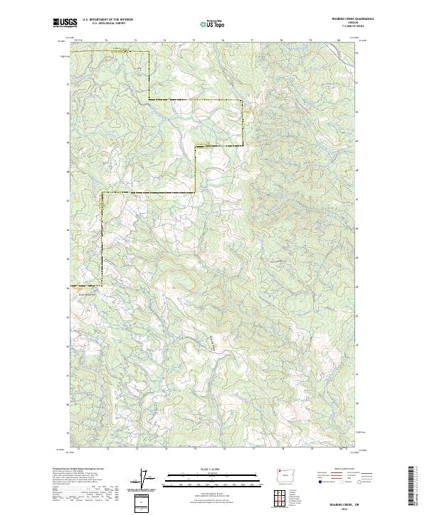
2024 Roaring Creek
Washington County, OR
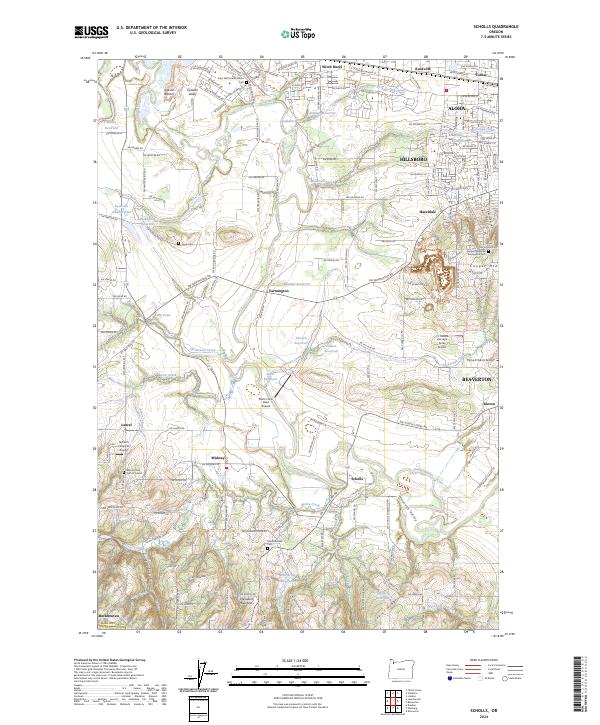
2024 Scholls
Washington County, OR