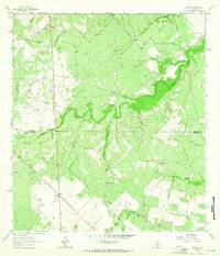
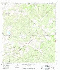
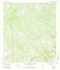
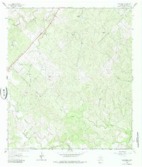
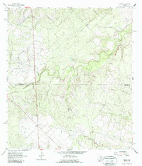
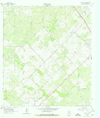
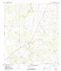
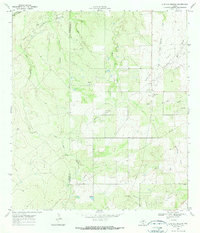
1963 Map of Midway
USGS Topo · Published 1965This historical map portrays the area of Midway in 1963, primarily covering Live Oak County as well as portions of Jim Wells County. Featuring a scale of 1:24000, this map provides a highly detailed snapshot of the terrain, roads, buildings, counties, and historical landmarks in the Midway region at the time. Published in 1965, it is one of 2 known editions of this map due to revisions or reprints.
Find a feature on this map
21 named features on this map. Tap any name to fly to it.
Don’t see what you’re looking for? This feature index may not catch every label — zoom into the map to look around manually.
Map Details
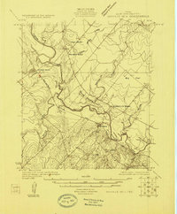
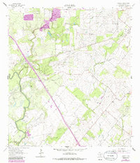
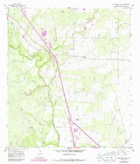
Editions of this 1963 Midway Map
2 editions found
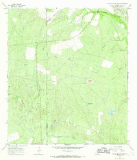
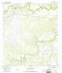
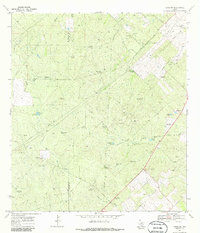
Historical Maps of Jim Wells County Through Time
21 maps found

1920 Mikeska
Live Oak County, TX

1925 Mathis No. 2
Live Oak County, TX
1925 Oakville No. 4
Live Oak County, TX
1925 Simmons No. 1
Live Oak County, TX
1927 Oakville
Live Oak County, TX

1956 Suniland
Live Oak County, TX
1963 Anna Rose
Live Oak County, TX
1963 Crater Ridge
Live Oak County, TX
1963 Elm Creek
Live Oak County, TX
1963 Midway
Live Oak County, TX
1963 Oakville SW
Live Oak County, TX
1964 Oakville
Live Oak County, TX
1965 Comanche Hills
Live Oak County, TX
1965 Peggy
Live Oak County, TX
1965 Ray Point
Live Oak County, TX
1965 Willow Hollow Tank
Live Oak County, TX
1967 Calliham
Live Oak County, TX
1969 Clegg NE
Live Oak County, TX
1969 Live Oak Hollow
Live Oak County, TX
1979 Dinero
Live Oak County, TX
1979 Mulos Hills
Live Oak County, TX