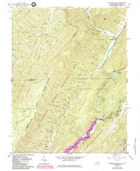
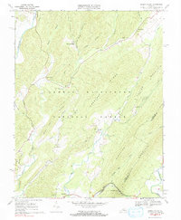
2022 Map of Mountain Grove
USGS Topo · Published 2022About this map
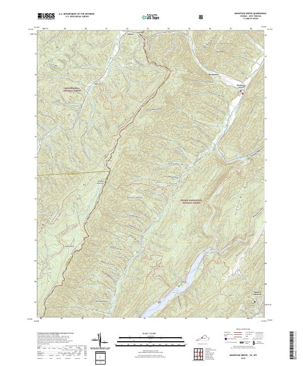
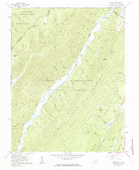
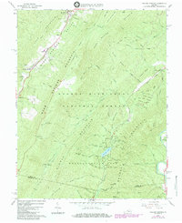
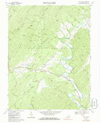
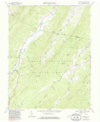
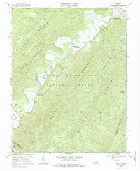
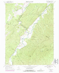
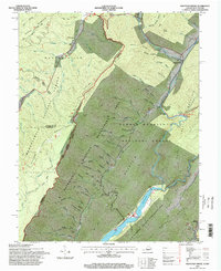
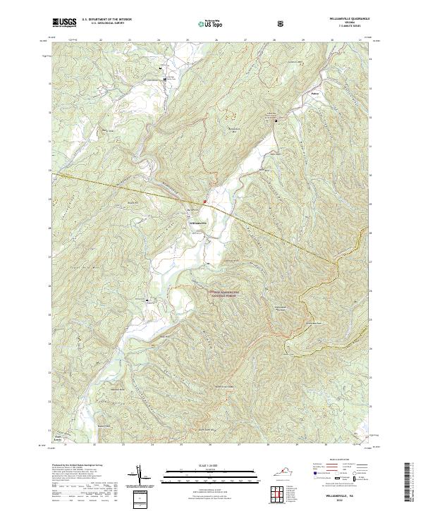
Mountain Grove and Mooretown anchor the eastern slopes of the Allegheny Mountains on this recent survey, where the Jackson River flows south into the upper reaches of Lake Moomaw. This high-country landscape is defined by the sharp border between the Monongahela National Forest in West Virginia and the George Washington National Forest in Virginia. The area's deep history is marked by quiet family landmarks like the Mountain Grove Cem and the McClintic Family Cem, while the rugged geography is carved by countless drafts and hollows such as Buckhorn Draft and Revercomb Hollow. A network of historic paths, including the Allegheny Mountain Trail # 611 Trl, follows the ridgelines, preserving the corridors used for generations to traverse these high gaps. The southern edge of the sheet reaches Bacova Junction, showing the transition from mountain wilderness to the valley's edge.
Find a feature on this map
87 named features on this map. Tap any name to fly to it.
Don’t see what you’re looking for? This feature index may not catch every label — zoom into the map to look around manually.
Map Details
Editions of this 2022 Mountain Grove Map
This is the sole edition of this map. No revisions or reprints were ever made.
Historical Maps of Mountain Grove Through Time
27 maps found

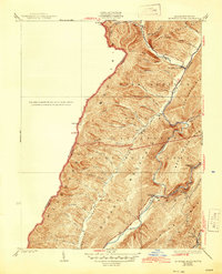
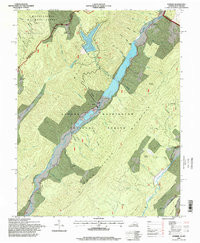
1930 Mountain Grove
Bath County, VA
1930 Warm Springs Run
Bath County, VA
1931 Healing Springs
Bath County, VA
1933 Healing Springs
Bath County, VA
1933 Mountain Grove
Bath County, VA
1933 Warm Springs Run
Bath County, VA

1946 Williamsville
Bath County, VA
1949 Williamsville
Bath County, VA
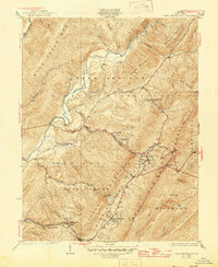
1961 Mountain Grove
Bath County, VA
1961 Sunrise
Bath County, VA
1966 Healing Springs
Bath County, VA
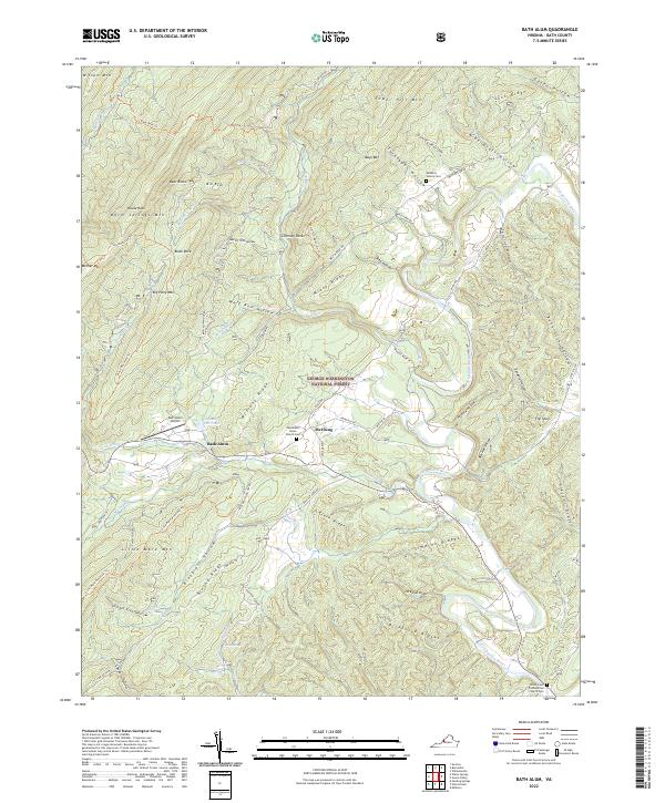
1968 Bath Alum
Bath County, VA
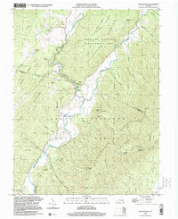
1969 Burnsville
Bath County, VA
1969 Green Valley
Bath County, VA
1969 Nimrod Hall
Bath County, VA
1969 Williamsville
Bath County, VA
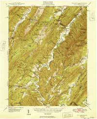
1995 Mountain Grove
Bath County, VA
1995 Sunrise
Bath County, VA
1999 Williamsville
Bath County, VA
2022 Bath Alum
Bath County, VA
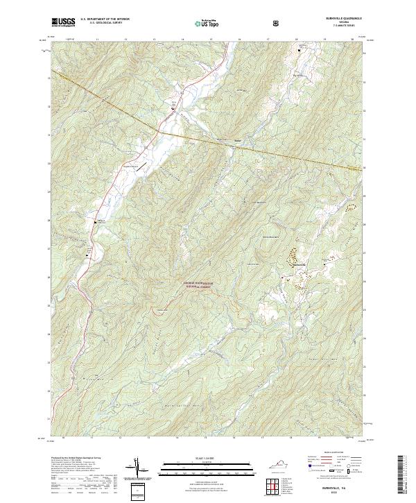
2022 Burnsville
Bath County, VA
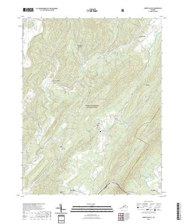
2022 Green Valley
Bath County, VA
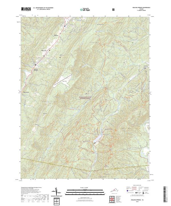
2022 Healing Springs
Bath County, VA
2022 Mountain Grove
Bath County, VA
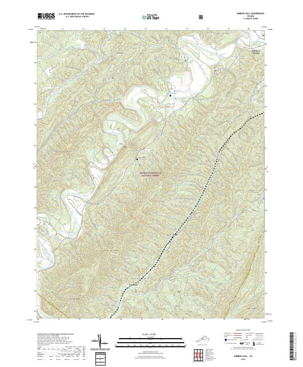
2022 Nimrod Hall
Bath County, VA
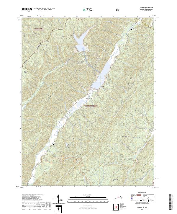
2022 Sunrise
Bath County, VA
2022 Williamsville
Bath County, VA