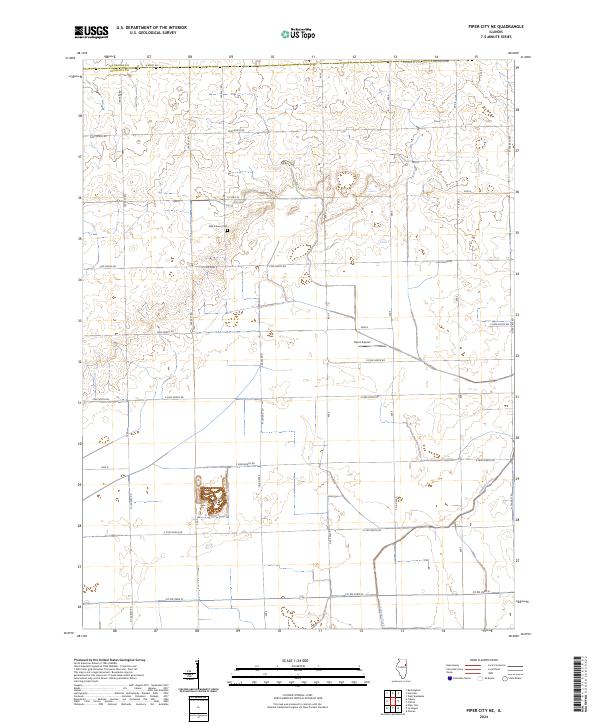
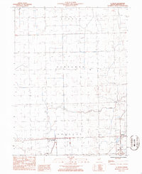
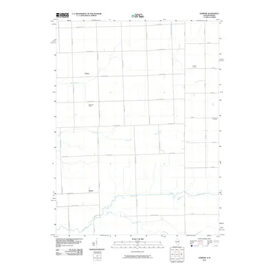
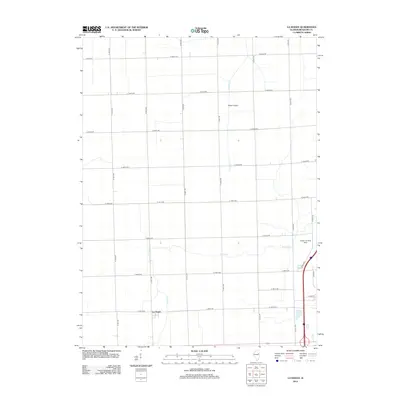
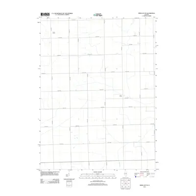
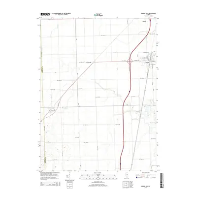
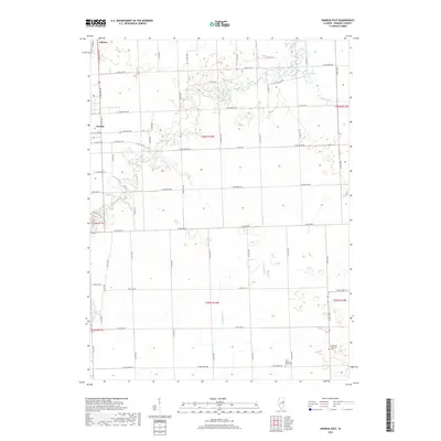
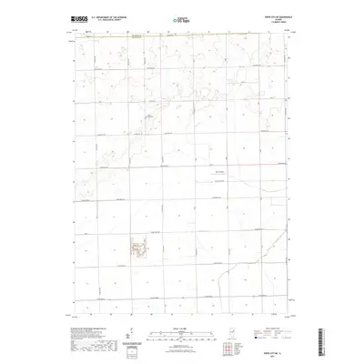
2024 Map of Piper City NE
USGS Topo · Published 2024About this map
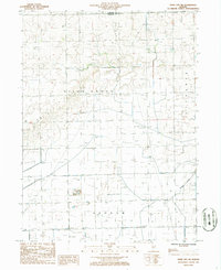
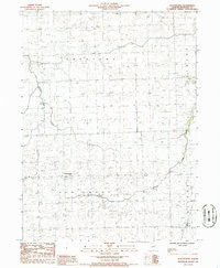
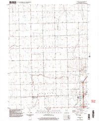
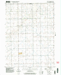
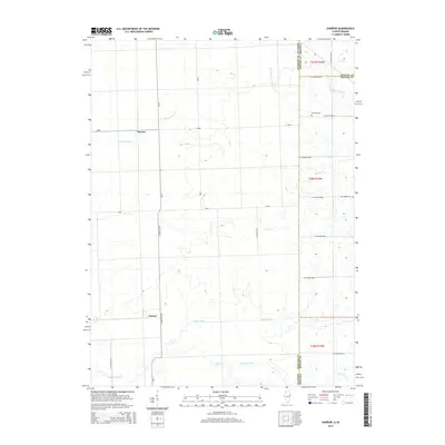
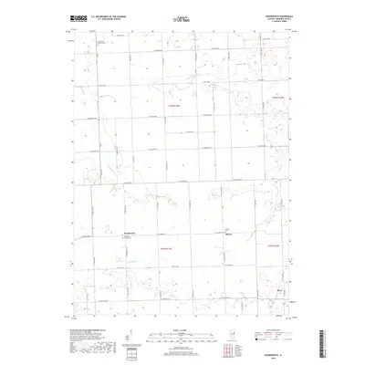
Iroquois Co and Kankakee Co meet along a grid of section lines in this agricultural landscape. The area is defined by its rectilinear road network, including Co Hwy 29 and Co Hwy 37, which segment the prairie into large-scale farming plots. The terrain is largely defined by the drainage of Langan Creek, which cuts diagonally across the southeastern portion of the map.
Find a feature on this map
36 named features on this map. Tap any name to fly to it.
Don’t see what you’re looking for? This feature index may not catch every label — zoom into the map to look around manually.
Map Details
Editions of this 2024 Piper City NE Map
This is the sole edition of this map. No revisions or reprints were ever made.
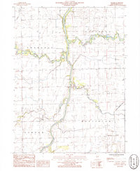
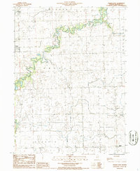
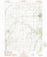
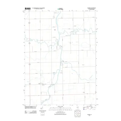
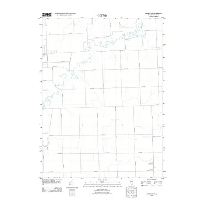
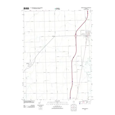
Historical Maps of Kankakee County Through Time
58 maps found
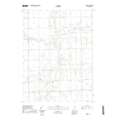
1964 Darrow
Iroquois County, IL
1964 Stockland
Iroquois County, IL
1986 Claytonville
Iroquois County, IL
1986 La Hogue
Iroquois County, IL
1986 L'Erable
Iroquois County, IL
1986 Onarga East
Iroquois County, IL
1986 Onarga West
Iroquois County, IL
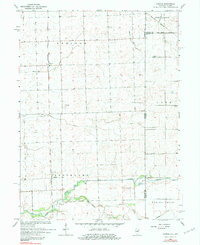
1986 Piper City NE
Iroquois County, IL
1986 Woodworth
Iroquois County, IL
1998 La Hogue
Iroquois County, IL
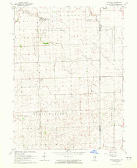
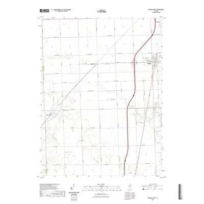
1998 Piper City NE
Iroquois County, IL
2010 Darrow
Iroquois County, IL
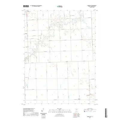
2011 Stockland
Iroquois County, IL
2012 Claytonville
Iroquois County, IL
2012 Darrow
Iroquois County, IL
2012 La Hogue
Iroquois County, IL
2012 L'Erable
Iroquois County, IL
2012 Onarga East
Iroquois County, IL
2012 Onarga West
Iroquois County, IL
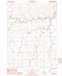
2012 Piper City NE
Iroquois County, IL
2012 Stockland
Iroquois County, IL
2012 Woodworth
Iroquois County, IL
2015 Claytonville
Iroquois County, IL
2015 Darrow
Iroquois County, IL
2015 La Hogue
Iroquois County, IL
2015 L'Erable
Iroquois County, IL
2015 Onarga East
Iroquois County, IL
2015 Onarga West
Iroquois County, IL
2015 Piper City NE
Iroquois County, IL
2015 Stockland
Iroquois County, IL
2015 Woodworth
Iroquois County, IL
2018 Claytonville
Iroquois County, IL
2018 Darrow
Iroquois County, IL
2018 La Hogue
Iroquois County, IL
2018 L'Erable
Iroquois County, IL
2018 Onarga East
Iroquois County, IL
2018 Onarga West
Iroquois County, IL
2018 Piper City NE
Iroquois County, IL
2018 Stockland
Iroquois County, IL
2018 Woodworth
Iroquois County, IL
2021 Claytonville
Iroquois County, IL
2021 Darrow
Iroquois County, IL
2021 La Hogue
Iroquois County, IL
2021 L'Erable
Iroquois County, IL
2021 Onarga East
Iroquois County, IL
2021 Onarga West
Iroquois County, IL
2021 Piper City NE
Iroquois County, IL
2021 Stockland
Iroquois County, IL
2021 Woodworth
Iroquois County, IL
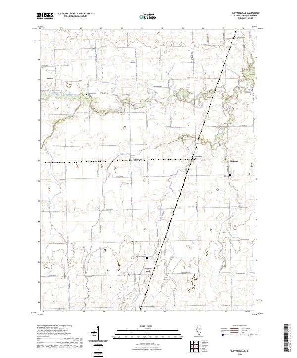
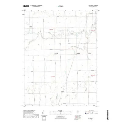
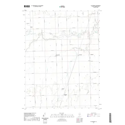
2024 Claytonville
Iroquois County, IL
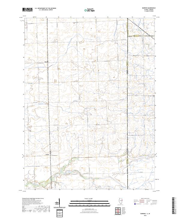
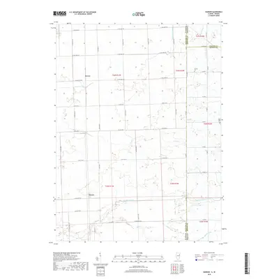
2024 Darrow
Iroquois County, IL
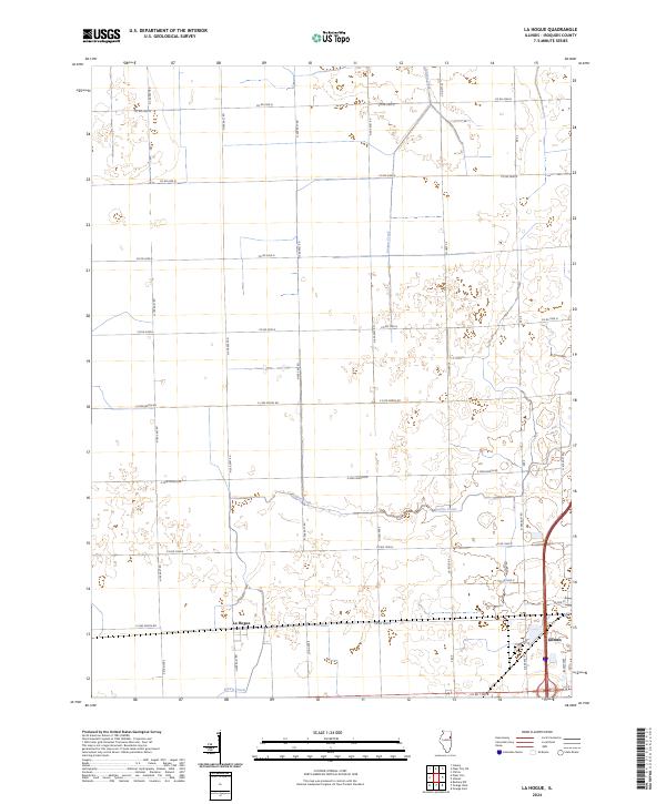
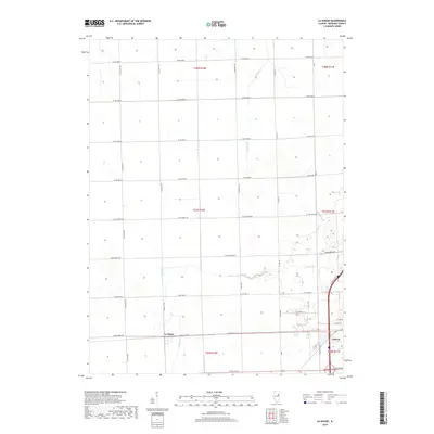
2024 La Hogue
Iroquois County, IL
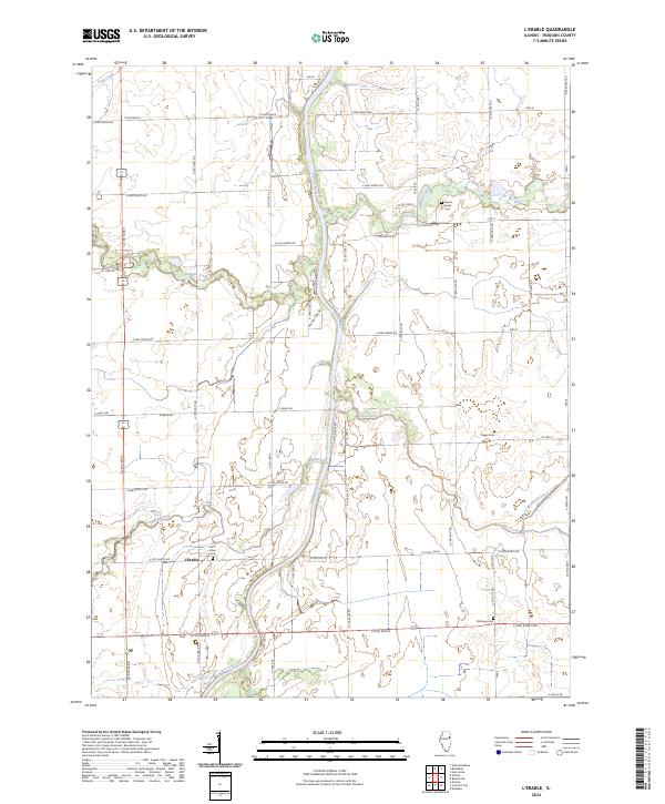
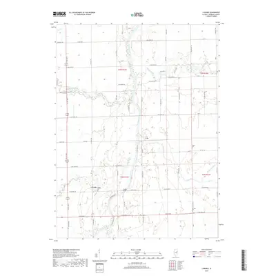
2024 L'Erable
Iroquois County, IL
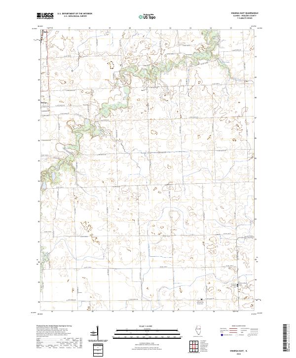
2024 Onarga East
Iroquois County, IL
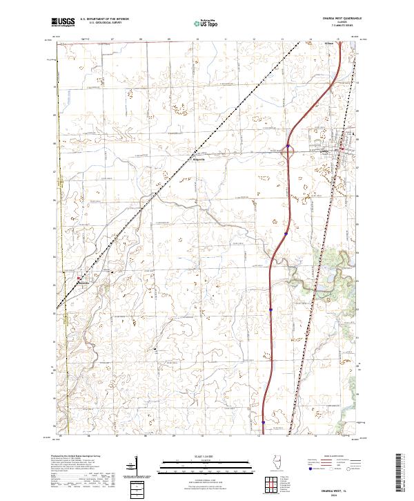
2024 Onarga West
Iroquois County, IL
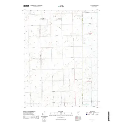
2024 Piper City NE
Iroquois County, IL
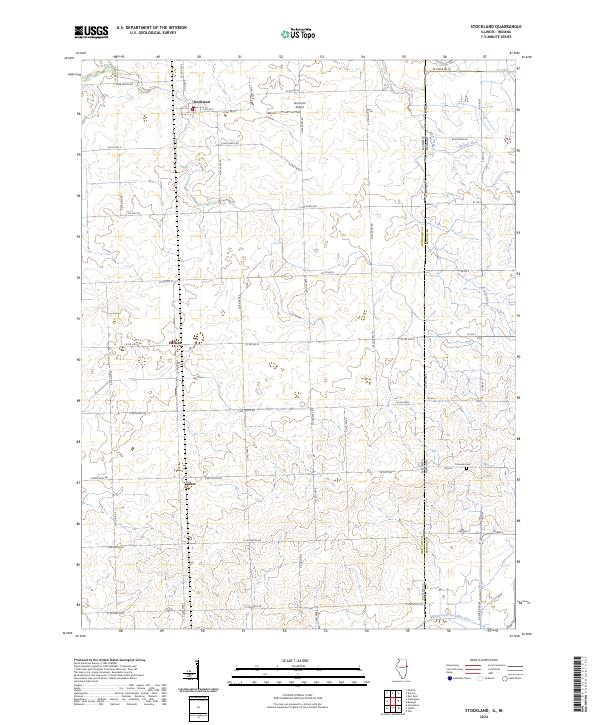
2024 Stockland
Iroquois County, IL
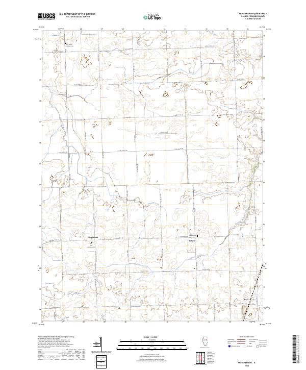
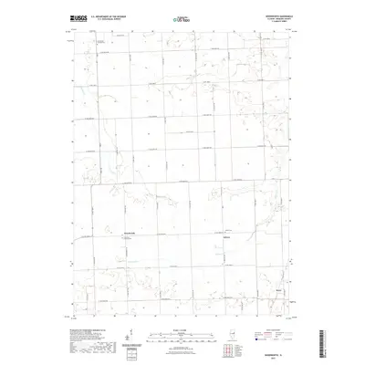
2024 Woodworth
Iroquois County, IL