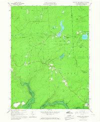
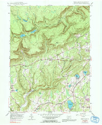
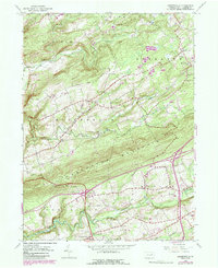
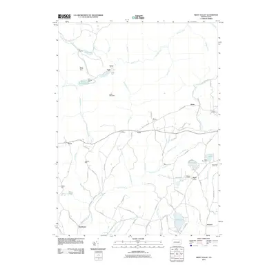
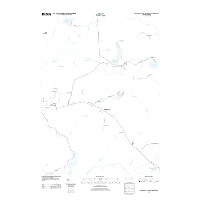
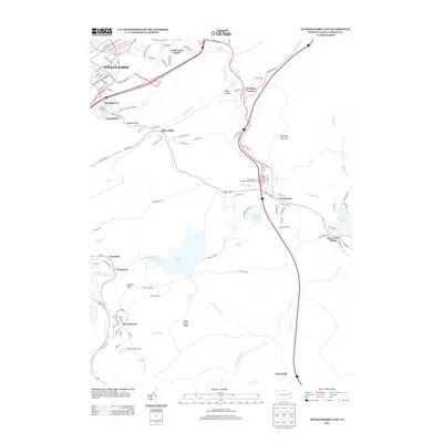
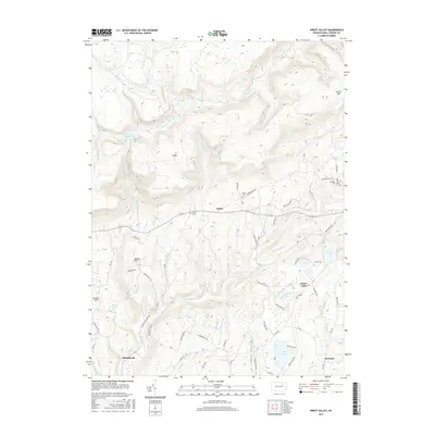
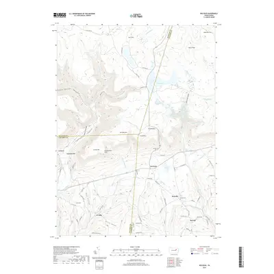
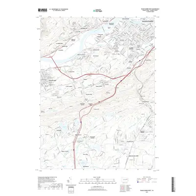
1965 Map of Pleasant View Summit
USGS Topo · Published 1967About this map
State Game Lands No 91 and Lackawanna State Forest dominate this landscape, reflecting a mid-20th-century transition toward conservation and recreation at the junction of Luzerne, Lackawanna, Carbon, and Monroe counties. The northeastern portion of the Francis E Walter Reservoir is visible where the Lehigh River meets Bear Creek, illustrating the era's significant water management and flood control infrastructure.
Find a feature on this map
48 named features on this map. Tap any name to fly to it.
Don’t see what you’re looking for? This feature index may not catch every label — zoom into the map to look around manually.
Map Details
Editions of this 1965 Pleasant View Summit Map
4 editions found
Historical Maps of Thornhurst Township Through Time
50 maps found
1893 Harvey Lake
Luzerne County, PA
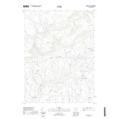
1946 Sweet Valley
Luzerne County, PA

1946 Sybertsville
Luzerne County, PA
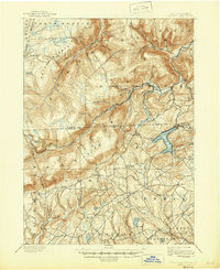
1947 Wilkes-Barre East
Luzerne County, PA
1947 Wilkes-Barre West
Luzerne County, PA
1949 Sweet Valley
Luzerne County, PA

1950 Wilkes-Barre East
Luzerne County, PA

1950 Wilkes-Barre West
Luzerne County, PA
1955 Sybertsville
Luzerne County, PA
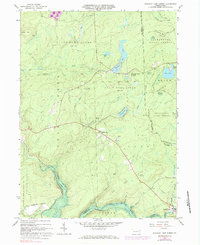
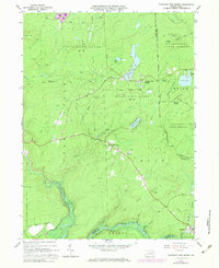
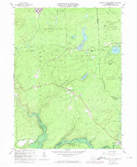
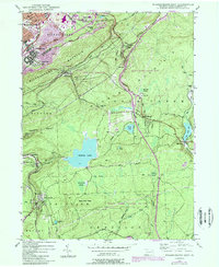
1965 Pleasant View Summit
Luzerne County, PA
1969 Red Rock
Luzerne County, PA

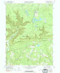
1976 Pleasant View Summit
Luzerne County, PA

1976 Sybertsville
Luzerne County, PA

1976 Wilkes-Barre East
Luzerne County, PA

1976 Wilkes-Barre West
Luzerne County, PA

1992 Pleasant View Summit
Luzerne County, PA

1994 Wilkes-Barre East
Luzerne County, PA

1995 Red Rock
Luzerne County, PA

1997 Pleasant View Summit
Luzerne County, PA

1999 Wilkes-Barre East
Luzerne County, PA
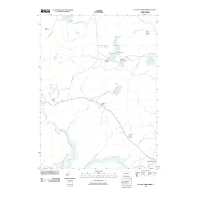
2010 Pleasant View Summit
Luzerne County, PA

2010 Red Rock
Luzerne County, PA
2010 Sweet Valley
Luzerne County, PA
2010 Sybertsville
Luzerne County, PA
2010 Wilkes-Barre East
Luzerne County, PA
2010 Wilkes-Barre West
Luzerne County, PA
2013 Pleasant View Summit
Luzerne County, PA
2013 Red Rock
Luzerne County, PA
2013 Sweet Valley
Luzerne County, PA
2013 Sybertsville
Luzerne County, PA
2013 Wilkes-Barre East
Luzerne County, PA
2013 Wilkes-Barre West
Luzerne County, PA
2016 Pleasant View Summit
Luzerne County, PA
2016 Red Rock
Luzerne County, PA
2016 Sweet Valley
Luzerne County, PA
2016 Sybertsville
Luzerne County, PA
2016 Wilkes-Barre East
Luzerne County, PA

2016 Wilkes-Barre West
Luzerne County, PA
2019 Pleasant View Summit
Luzerne County, PA
2019 Red Rock
Luzerne County, PA
2019 Sweet Valley
Luzerne County, PA
2019 Sybertsville
Luzerne County, PA
2019 Wilkes-Barre East
Luzerne County, PA
2019 Wilkes-Barre West
Luzerne County, PA

2023 Pleasant View Summit
Luzerne County, PA

2023 Red Rock
Luzerne County, PA
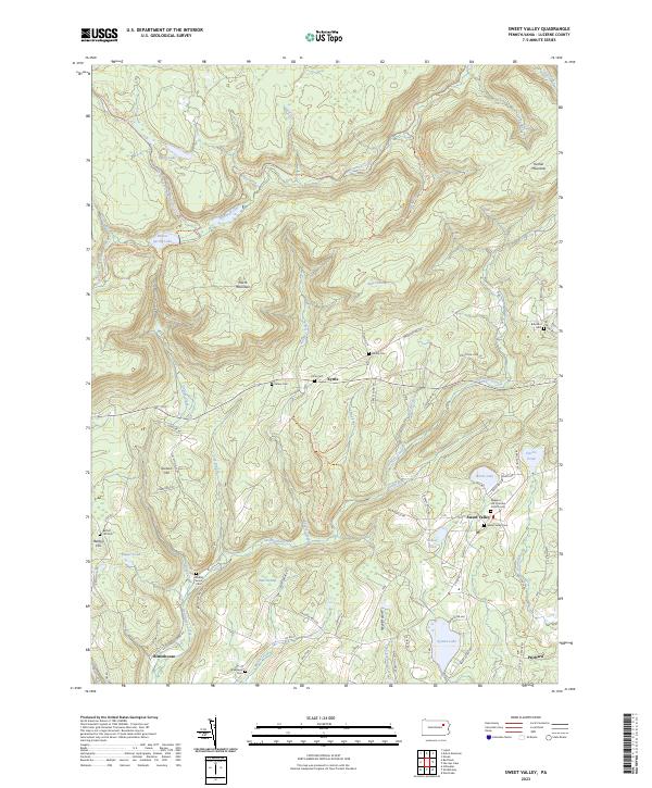
2023 Sweet Valley
Luzerne County, PA

2023 Sybertsville
Luzerne County, PA
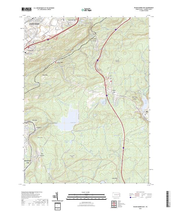
2023 Wilkes-Barre East
Luzerne County, PA

2023 Wilkes-Barre West
Luzerne County, PA
Featured Locations
- Kidder Township, PA
- Tobyhanna Township, PA
- Buck Township, PA
- Thornhurst Township, PA
- Pleasant View Summit, Bear Creek Township