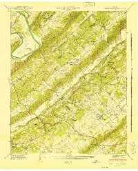
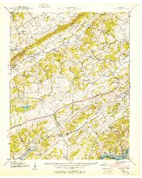
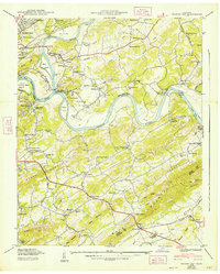
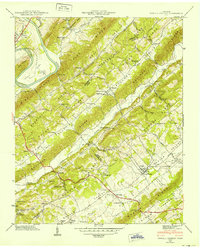
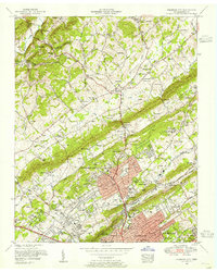
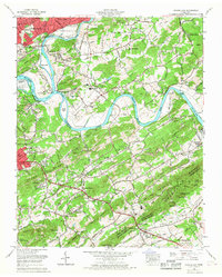
1941 Map of Powell Station
USGS Topo · Published 1941About this map
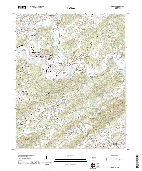
Clinton and the Clinch River define the northwestern edge of this 1941 landscape, where the TVA Forest Nursery at Eagle Bend reflects early Tennessee Valley Authority land management. The terrain is characterized by a series of parallel ridges and valleys, including Chestnut Ridge and Copper Ridge, which channel the region's early road and rail networks. Along these corridors, small communities and rural centers like Powell Station, Heiskell, and Treeville thrived near the Southern railroad tracks.
Find a feature on this map
82 named features on this map. Tap any name to fly to it.
Don’t see what you’re looking for? This feature index may not catch every label — zoom into the map to look around manually.
Map Details
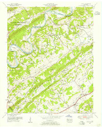
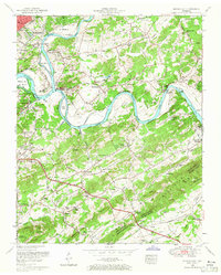
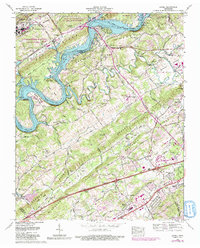
Editions of this 1941 Powell Station Map
2 editions found
Historical Maps of Broadacres Through Time
28 maps found

1935 Bearden
Knox County, TN

1935 Fountain City
Knox County, TN

1935 Lovell
Knox County, TN

1936 Friendship
Knox County, TN

1936 Gorryton
Knox County, TN

1936 Powell Station
Knox County, TN

1936 Shooks Gap
Knox County, TN
1940 Bearden
Knox County, TN

1940 Lovell
Knox County, TN
1940 Shooks Gap
Knox County, TN

1941 Fountain City
Knox County, TN

1941 Lovell
Knox County, TN
1941 Powell Station
Knox County, TN

1953 Bearden
Knox County, TN
1953 Fountain City
Knox County, TN
1953 Lovell
Knox County, TN
1953 Shooks Gap
Knox County, TN

1966 Bearden
Knox County, TN
1966 Fountain City
Knox County, TN
1966 Shooks Gap
Knox County, TN
1968 Lovell
Knox County, TN
1978 Bearden
Knox County, TN
1978 Fountain City
Knox County, TN
1979 Shooks Gap
Knox County, TN
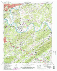
2022 Bearden
Knox County, TN
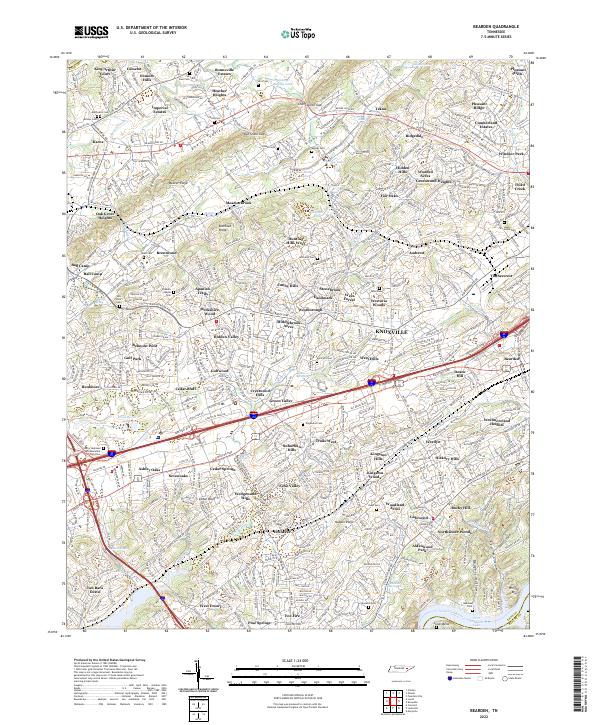
2022 Fountain City
Knox County, TN
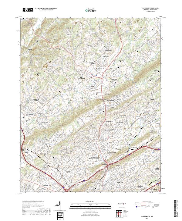
2022 Lovell
Knox County, TN
2022 Shooks Gap
Knox County, TN