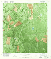
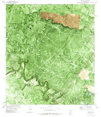
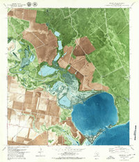
1979 Map of Quintana
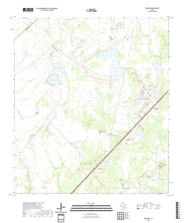
USGS Topo · Published 1979This historical map portrays the area of Quintana in 1979, primarily covering Refugio County as well as portions of Aransas County. Featuring a scale of 1:24000, this map provides a highly detailed snapshot of the terrain, roads, buildings, counties, and historical landmarks in the Quintana region at the time. Published in 1979, it is the sole known edition of this map.
Find a feature on this map
23 named features on this map. Tap any name to fly to it.
Don’t see what you’re looking for? This feature index may not catch every label — zoom into the map to look around manually.
Map Details
Editions of this 1979 Quintana Map
This is the sole edition of this map. No revisions or reprints were ever made.
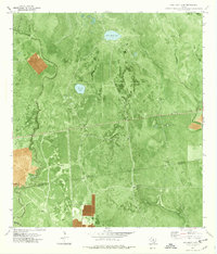
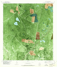
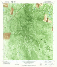
Historical Maps of Refugio County Through Time
17 maps found
1952 Tivoli SE
Refugio County, TX
1952 Tivoli SW
Refugio County, TX
1954 Vidaurri
Refugio County, TX
1978 Cranell
Refugio County, TX
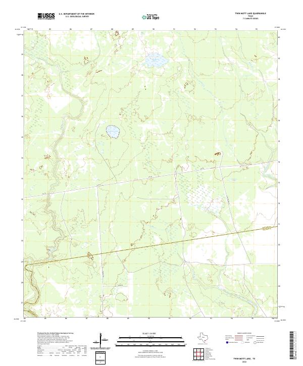
1978 Twin Mott Lake
Refugio County, TX
1978 Vidaurri
Refugio County, TX
1979 Lake Pasture
Refugio County, TX
1979 Mission Bay
Refugio County, TX
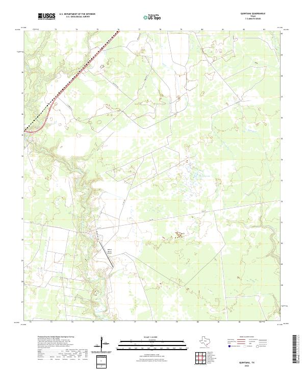
1979 Quintana
Refugio County, TX
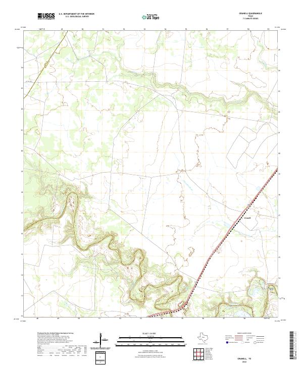
2022 Cranell
Refugio County, TX
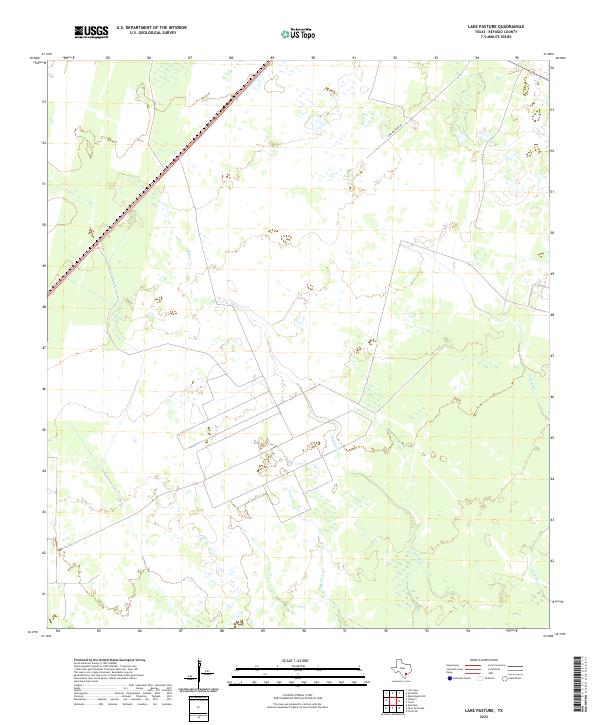
2022 Lake Pasture
Refugio County, TX
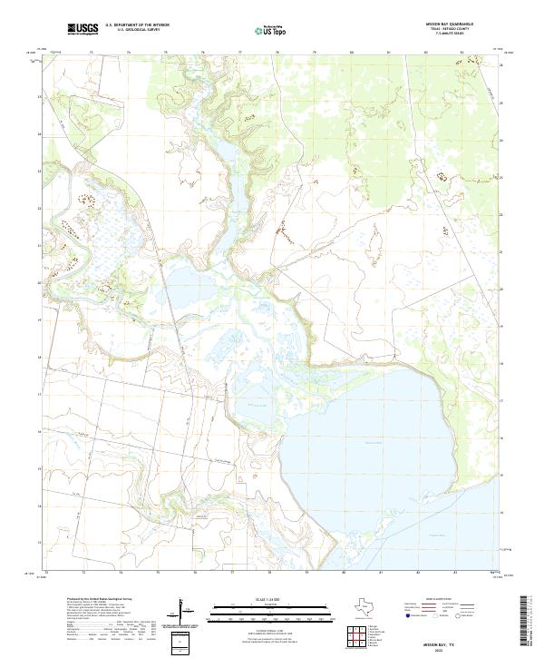
2022 Mission Bay
Refugio County, TX
2022 Quintana
Refugio County, TX
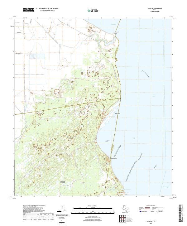
2022 Tivoli SE
Refugio County, TX
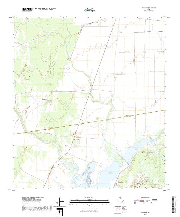
2022 Tivoli SW
Refugio County, TX
2022 Twin Mott Lake
Refugio County, TX
2022 Vidaurri
Refugio County, TX