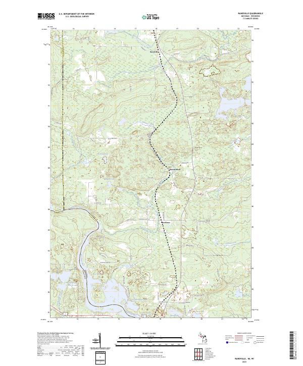
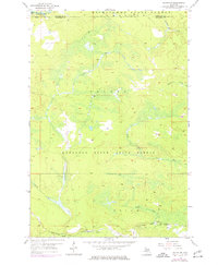
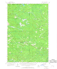
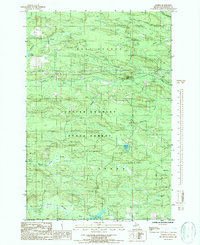
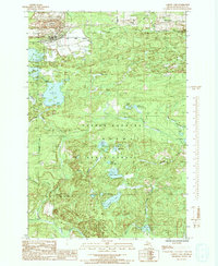
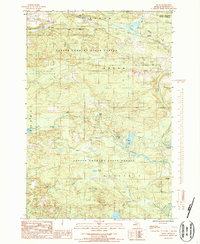
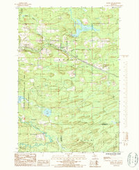
2023 Map of Randville
USGS Topo · Published 2023About this map
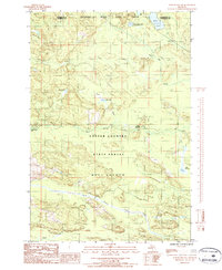
Randville and the neighboring settlements of Granite Bluff and Merriman anchor this northern Michigan landscape along the Dickinson County line. The geography is defined by a dense network of water, where the West Branch Sturgeon River flows south toward the winding Menominee River, which serves as the state boundary with Wisconsin. The southern portion of the map is particularly rich in hydrographic detail, showing the complex Spread Eagle Chain of Lakes and Little Badwater Lake as they connect to the Spread Eagle Outlet. Local infrastructure is mapped through rural connectors such as Peavy Falls Rd and Merriman West Rd, which provide access to many smaller water bodies like Browning Lake and Spirit Lake. This modern survey records the enduring pattern of Northwoods settlement and the primary river systems that have historically shaped the region's industry and recreation.
Find a feature on this map
73 named features on this map. Tap any name to fly to it.
Don’t see what you’re looking for? This feature index may not catch every label — zoom into the map to look around manually.
Map Details
Editions of this 2023 Randville Map
This is the sole edition of this map. No revisions or reprints were ever made.
Historical Maps of Florence Through Time
28 maps found
1955 Channing
Dickinson County, MI
1955 Ralph
Dickinson County, MI
1955 Ralph NE
Dickinson County, MI
1955 Ralph NW
Dickinson County, MI
1955 Randville
Dickinson County, MI
1955 Vulcan
Dickinson County, MI
1956 Sagola
Dickinson County, MI
1957 Northland
Dickinson County, MI
1986 Alfred
Dickinson County, MI
1986 Carney Lake
Dickinson County, MI
1986 Felch
Dickinson County, MI
1986 Foster City
Dickinson County, MI
1986 Northland NW
Dickinson County, MI
1986 Ralph
Dickinson County, MI
1986 Ralph SW
Dickinson County, MI
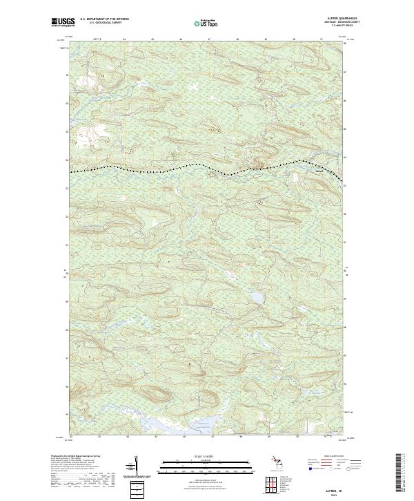
2023 Alfred
Dickinson County, MI
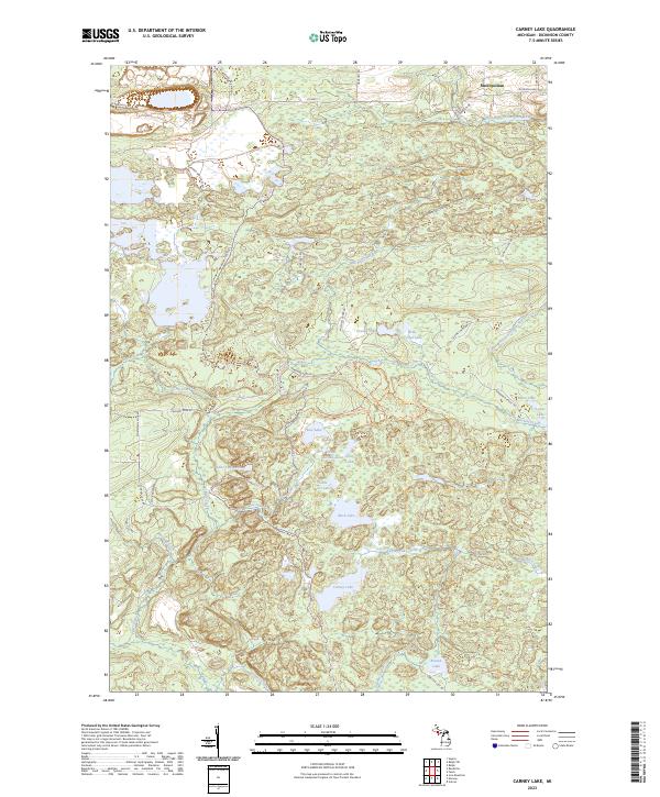
2023 Carney Lake
Dickinson County, MI
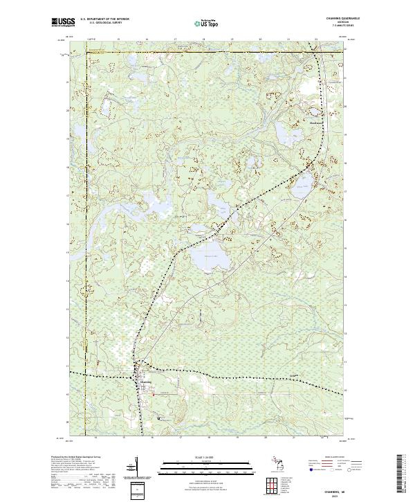
2023 Channing
Dickinson County, MI
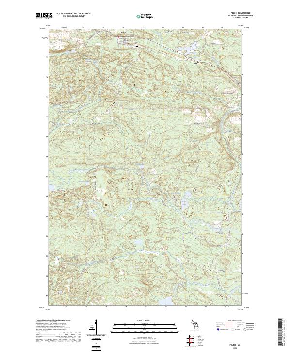
2023 Felch
Dickinson County, MI
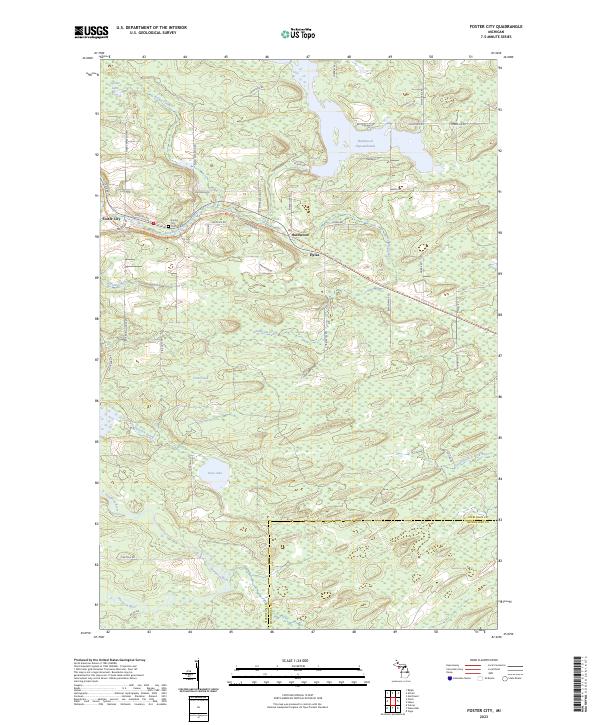
2023 Foster City
Dickinson County, MI
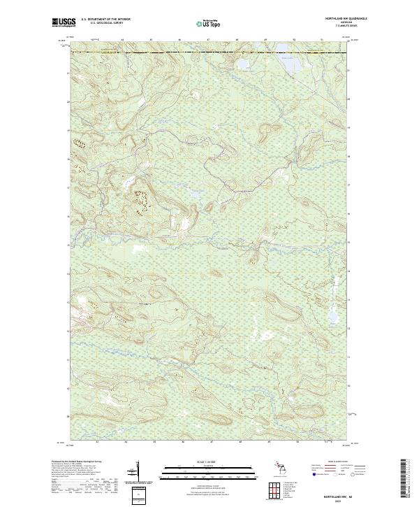
2023 Northland NW
Dickinson County, MI
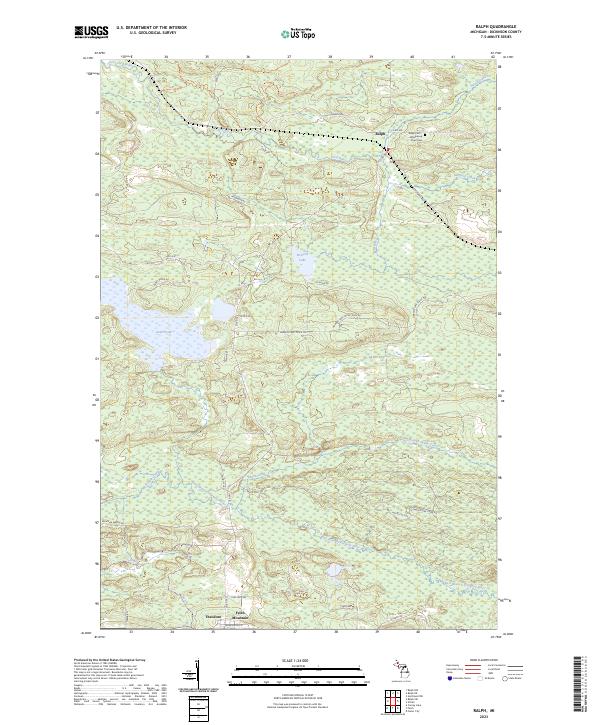
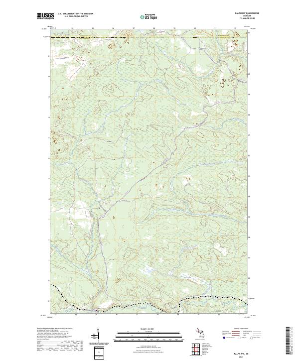
2023 Ralph
Dickinson County, MI
2023 Ralph NE
Dickinson County, MI
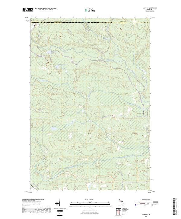
2023 Ralph NW
Dickinson County, MI
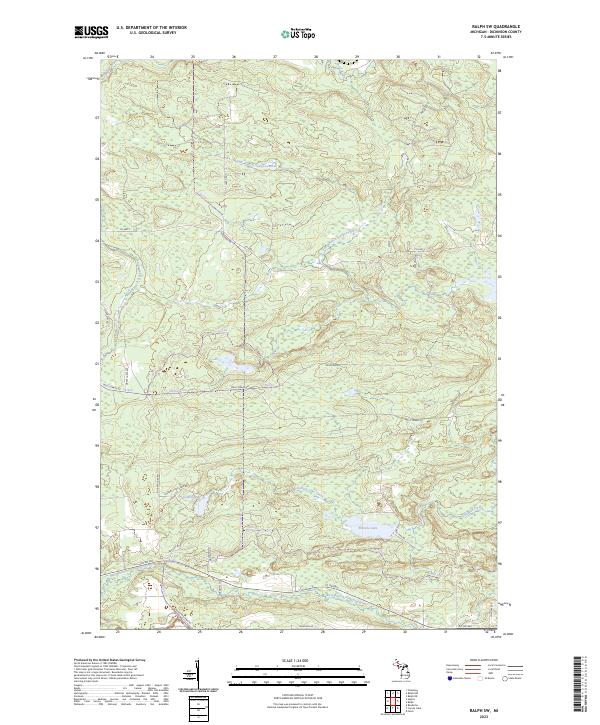
2023 Ralph SW
Dickinson County, MI
2023 Randville
Dickinson County, MI
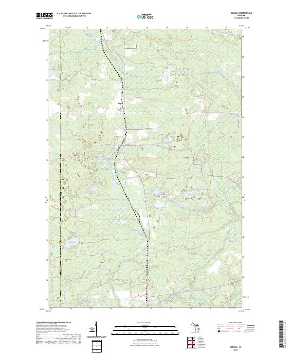
2023 Sagola
Dickinson County, MI
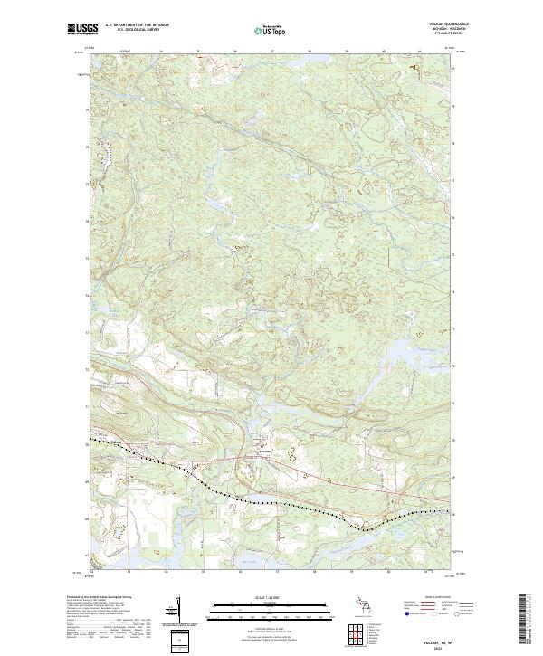
2023 Vulcan
Dickinson County, MI
Featured Locations
- Florence, WI
- Breitung Township, MI
- Mastodon Township, MI
- Merriman, Breitung Township
- Randville, Sagola Township