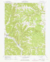
1961 Map of Rarden
USGS Topo · Published 1976About this map
Rarden sits at the western edge of this 1960s landscape, positioned where Rarden Creek meets the larger Scioto Brush Creek. The village serves as a focal point for the Norfolk and Western railroad, which follows the winding valley floor toward the smaller settlement of Youngs. The surrounding topography is defined by significant ridges and family-named landmarks, such as Staley Ridge and Ladd Ridge, suggesting a history of upland farming and settlement that persists alongside the extensive Rarden State Forest.
Find a feature on this map
70 named features on this map. Tap any name to fly to it.
Don’t see what you’re looking for? This feature index may not catch every label — zoom into the map to look around manually.
Map Details
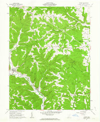
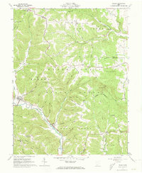
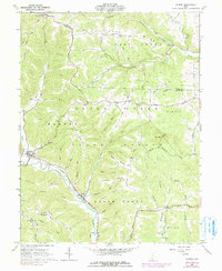
Editions of this 1961 Rarden Map
4 editions found
Other maps of this area

1915 · Bainbridge
USGS Topo · 1:48,000

1915 · Otway
USGS Topo · 1:62,500

1915 · Piketon
USGS Topo · 1:62,500

1916 · Peebles
USGS Topo · 1:62,500

1917 · Bainbridge
USGS Topo · 1:62,500

1917 · Piketon
USGS Topo · 1:62,500

1917 · Otway
USGS Topo · 1:62,500

1918 · Peebles
USGS Topo · 1:62,500

1944 · Piketon
USGS Topo · 1:62,500

1947 · Columbus
USGS Topo · 1:250,000