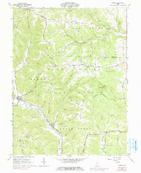
1961 Map of Rarden
USGS Topo · Published 1991About this map
The Norfolk and Western railroad corridor defines the development of this southern Ohio landscape, following the valley of Brush Creek through the rugged hills of the Brush Creek State Forest. During the early 1960s, small settlements like Rarden and Youngs served as the primary hubs for a rural population scattered across family-named ridges and hollows. The presence of numerous small burying grounds, including the Old Hackworth Cem and Harmon Cem, alongside rural landmarks like the Mt Olive-Ladd Ch, points to a deeply rooted community structure before the mid-century shift toward larger regional centers. Mapping shows a land dominated by a complex network of runs and forks, such as Jessie Run and Dry Fork, which dictated the placement of early homesteads and secondary routes like Hackworth Hill Road and Skidmore Road.
Find a feature on this map
76 named features on this map. Tap any name to fly to it.
Don’t see what you’re looking for? This feature index may not catch every label — zoom into the map to look around manually.
Map Details
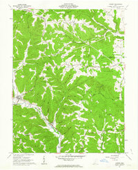
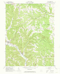
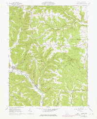
Editions of this 1961 Rarden Map
4 editions found
Other maps of this area

1915 · Bainbridge
USGS Topo · 1:48,000

1915 · Otway
USGS Topo · 1:62,500

1915 · Piketon
USGS Topo · 1:62,500

1916 · Peebles
USGS Topo · 1:62,500

1917 · Bainbridge
USGS Topo · 1:62,500

1917 · Piketon
USGS Topo · 1:62,500

1917 · Otway
USGS Topo · 1:62,500

1918 · Peebles
USGS Topo · 1:62,500

1944 · Piketon
USGS Topo · 1:62,500

1947 · Columbus
USGS Topo · 1:250,000