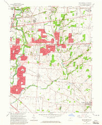
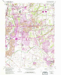
1964 Map of Reynoldsburg
USGS Topo · Published 1965About this map
Whitehall and Reynoldsburg anchor this mid-1960s landscape, showing the rapid expansion of eastern Columbus following the post-war housing boom. The map illustrates a transition from established rural townships like Truro and Violet to suburban developments, marked by new school construction such as Rose More Sch and Licking Heights High Sch. Transportation is a defining theme, with the massive Port Columbus municipal airport at the northwestern edge and a dense network of transit including the Pennsylvania and Ohio and Baltimore and Ohio railroads. The area's older history remains visible through numerous family and community burial grounds, including Pisgah Cem, Powell Cem, and the expansive Forest Lawn Cemetery. Notable cultural landmarks such as the St Therese Shrine and Temple Israel stand alongside recreational spaces like Blacklick Woods Park, reflecting the diverse social fabric of these growing communities.
Find a feature on this map
64 named features on this map. Tap any name to fly to it.
Don’t see what you’re looking for? This feature index may not catch every label — zoom into the map to look around manually.
Map Details
Editions of this 1964 Reynoldsburg Map
5 editions found
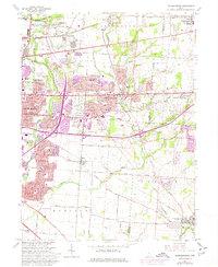
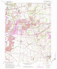
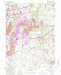
Other maps of this area

1902 · Westerville
USGS Topo · 1:62,500

1904 · Westerville
USGS Topo · 1:62,500

1907 · Thurston
USGS Topo · 1:62,500

1908 · Granville
USGS Topo · 1:62,500

1909 · Thurston
USGS Topo · 1:62,500

1910 · Granville
USGS Topo · 1:62,500

1925 · East Columbus
USGS Topo · 1:62,500

1943 · East Columbus
USGS Topo · 1:62,500

1947 · Columbus
USGS Topo · 1:250,000

1950 · Marion
USGS Topo · 1:250,000