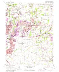
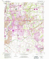
1964 Map of Reynoldsburg
USGS Topo · Published 1974About this map
Big Walnut Creek and Blacklick Creek define the drainage of this central Ohio landscape during a period of significant suburban expansion east of Columbus. The map documents the growth of Whitehall and Reynoldsburg, where residential subdivisions were rapidly replacing the rural character of Jefferson and Truro townships. While modern infrastructure like Port Columbus International Airport and several golf clubs signal the mid-century transition, the map preserves older layers of settlement including Taylor Station and the rural cemeteries that served early farming families, such as Powell Cem and Hockman Cem. The industrial footprint is visible through numerous extraction sites like the claypit and various gravel pits, while the Penn Central railroad corridors continue to anchor the region's transport network. Institutional landmarks like the State Dept of Agriculture and Licking Heights High School provide specific touchpoints for local historians.
Find a feature on this map
61 named features on this map. Tap any name to fly to it.
Don’t see what you’re looking for? This feature index may not catch every label — zoom into the map to look around manually.
Map Details
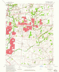
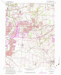
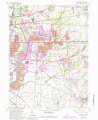
Editions of this 1964 Reynoldsburg Map
5 editions found
Other maps of this area

1902 · Westerville
USGS Topo · 1:62,500

1904 · Westerville
USGS Topo · 1:62,500

1907 · Thurston
USGS Topo · 1:62,500

1908 · Granville
USGS Topo · 1:62,500

1909 · Thurston
USGS Topo · 1:62,500

1910 · Granville
USGS Topo · 1:62,500

1925 · East Columbus
USGS Topo · 1:62,500

1943 · East Columbus
USGS Topo · 1:62,500

1947 · Columbus
USGS Topo · 1:250,000

1950 · Marion
USGS Topo · 1:250,000