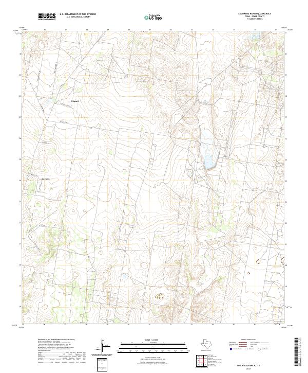
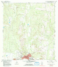
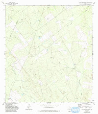
2022 Map of Sagunada Ranch
USGS Topo · Published 2022This historical map portrays the area of Sagunada Ranch in 2022, primarily covering Starr County. Featuring a scale of 1:24000, this map provides a highly detailed snapshot of the terrain, roads, buildings, counties, and historical landmarks in the Sagunada Ranch region at the time. Published in 2022, it is the sole known edition of this map.
Map Details
Editions of this 2022 Sagunada Ranch Map
This is the sole edition of this map. No revisions or reprints were ever made.
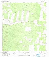
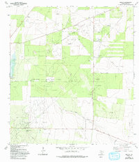
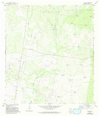
Historical Maps of La Carla Colonia Through Time
40 maps found

1938 El Sauz
Starr County, TX

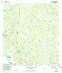
1938 Sal Colorada
Starr County, TX

1956 Garcias
Starr County, TX
1965 Camp Garcia
Starr County, TX
1965 Los Ebanos NW
Starr County, TX
1965 Los Garzas
Starr County, TX
1965 Rio Grande City North
Starr County, TX
1965 Rio Grande City South
Starr County, TX

1965 Roma-Los Saenz East
Starr County, TX

1965 Roma-Los Saenz West
Starr County, TX

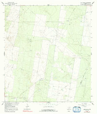
1965 Sagunada Ranch
Starr County, TX
1965 Salineno
Starr County, TX

1972 El Chapote Creek
Starr County, TX

1972 El Sauz
Starr County, TX

1972 La Gloria
Starr County, TX
1972 La Gloria SW
Starr County, TX
1972 Las Escobas Ranch
Starr County, TX
1972 Las Islas Ranch
Starr County, TX
1972 Rincon
Starr County, TX
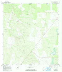
1972 Viboras
Starr County, TX

1985 Roma-Los Saenz
Starr County, TX

2002 Los Ebanos NW
Starr County, TX

2002 Rio Grande City South
Starr County, TX

2022 Camp Garcia
Starr County, TX
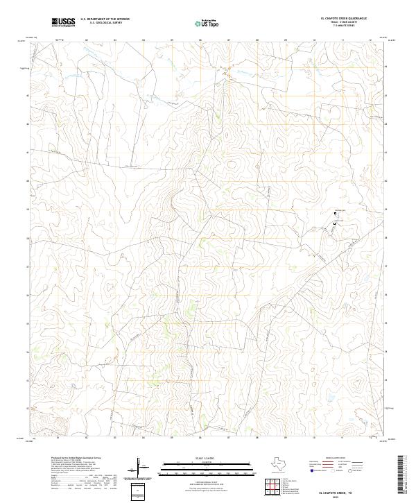
2022 El Chapote Creek
Starr County, TX
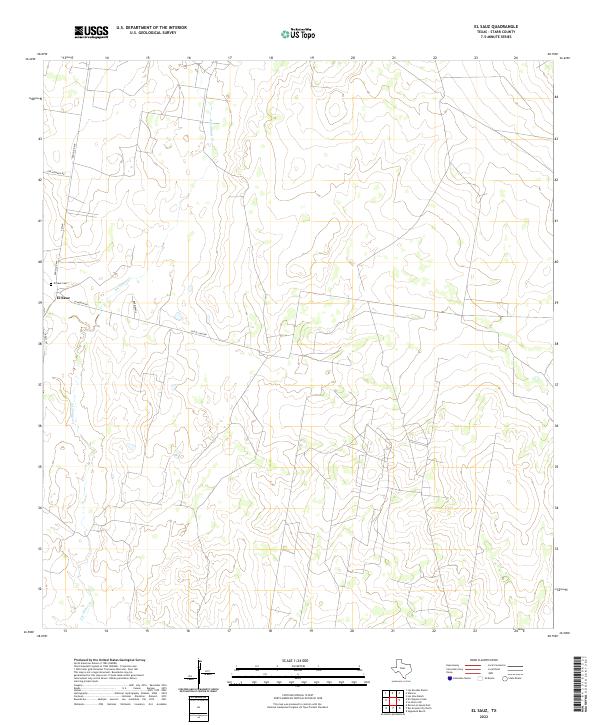
2022 El Sauz
Starr County, TX

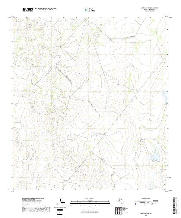
2022 La Gloria
Starr County, TX
2022 La Gloria SW
Starr County, TX
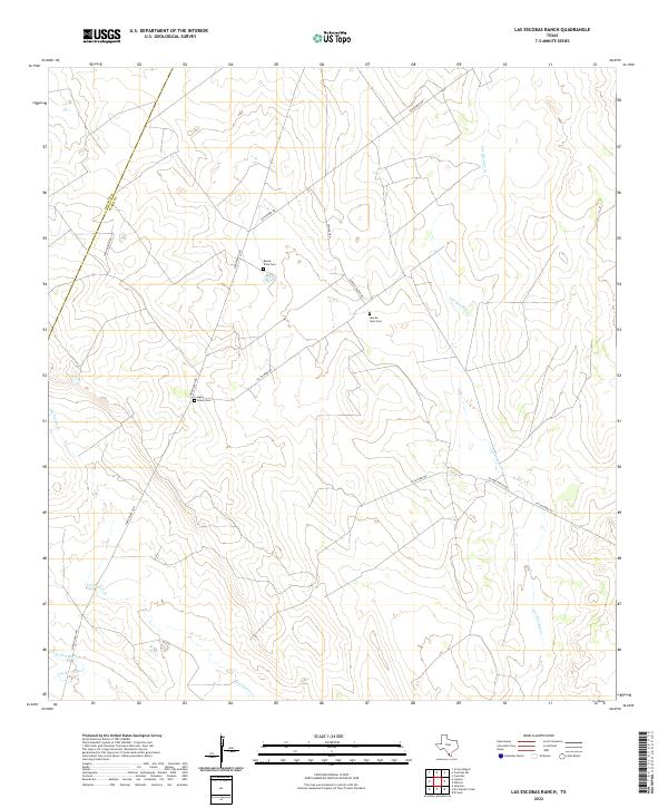
2022 Las Escobas Ranch
Starr County, TX
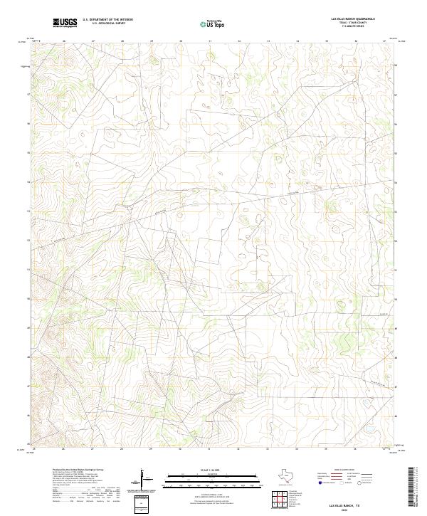
2022 Las Islas Ranch
Starr County, TX
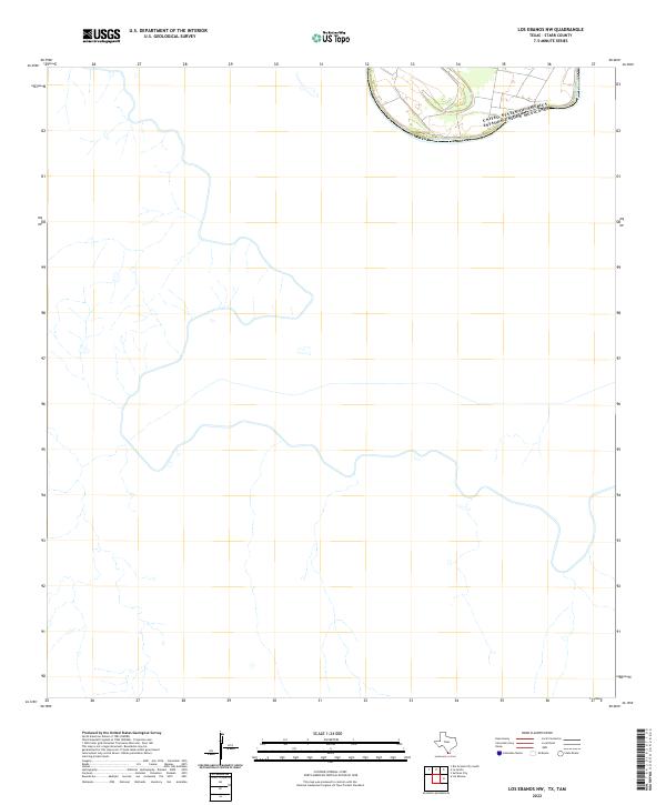
2022 Los Ebanos NW
Starr County, TX
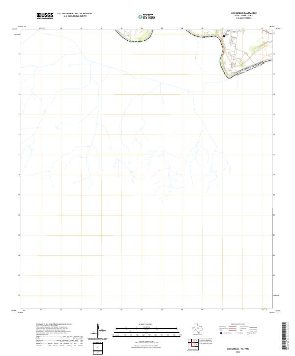
2022 Los Garzas
Starr County, TX
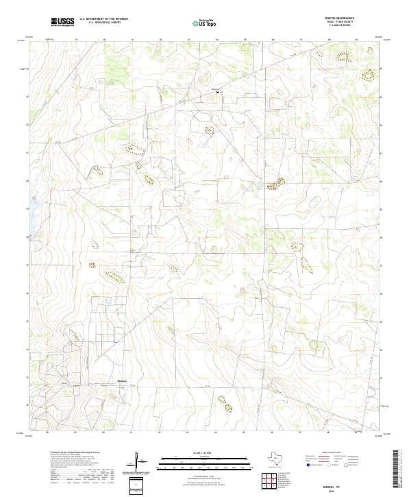
2022 Rincon
Starr County, TX
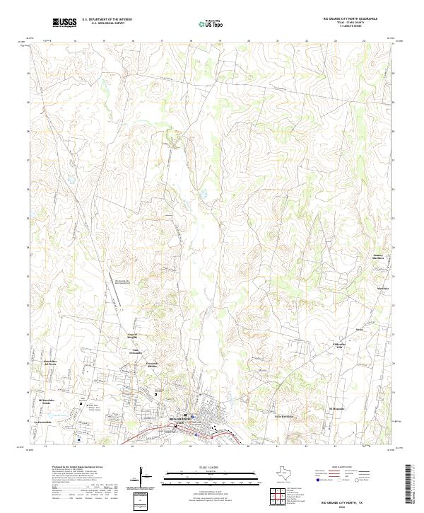
2022 Rio Grande City North
Starr County, TX

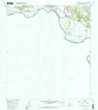
2022 Rio Grande City South
Starr County, TX

2022 Roma-Los Saenz East
Starr County, TX
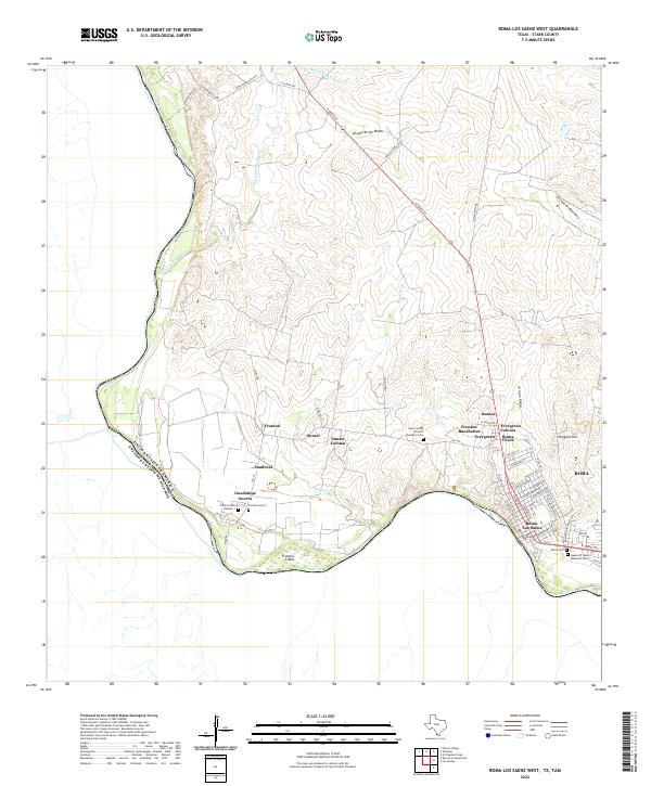
2022 Roma-Los Saenz West
Starr County, TX
2022 Sagunada Ranch
Starr County, TX
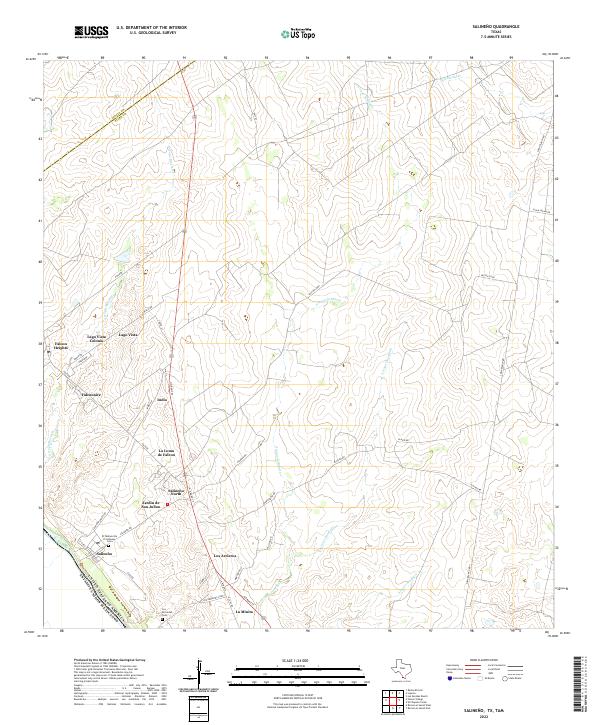
2022 Salineno
Starr County, TX

2022 Viboras
Starr County, TX