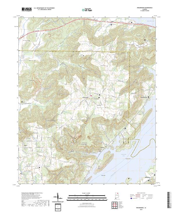
2024 Map of Swearengin
USGS Topo · Published 2024About this map
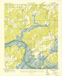
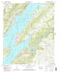
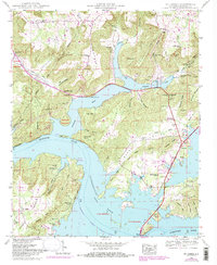
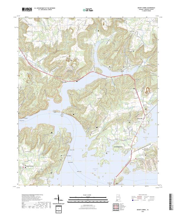
Guntersville Lake and the Tennessee River define the southeastern boundary of this area, where the flat river valley meets the varied elevations of Gunters Mtn and Negro Mtn. The settlement of Swearengin sits centrally atop the high ground, surrounded by a network of coves and hollows including Stillhouse Hollow and Ashmore Cove. This landscape is deeply marked by long-standing community landmarks, from the Gunter Mountain Memorial Garden to numerous family and community burial grounds such as Zions Rest Cem and McCamey Cem.
Find a feature on this map
144 named features on this map. Tap any name to fly to it.
Don’t see what you’re looking for? This feature index may not catch every label — zoom into the map to look around manually.
Map Details
Editions of this 2024 Swearengin Map
This is the sole edition of this map. No revisions or reprints were ever made.
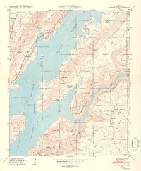
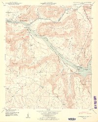
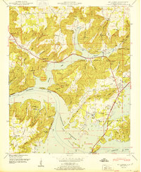
Historical Maps of Kirbytown Through Time
23 maps found
1936 Columbus City
Marshall County, AL
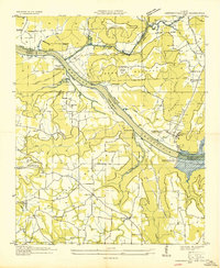
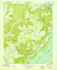
1936 Guntersville Dam
Marshall County, AL
1936 High Point
Marshall County, AL
1936 Mountainboro
Marshall County, AL
1936 Mt Carmel
Marshall County, AL
1936 Newsome Sinks
Marshall County, AL
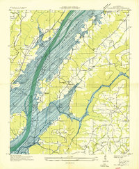
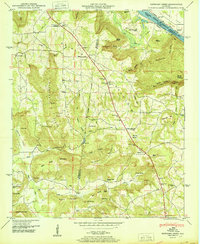
1936 Swearengin
Marshall County, AL
1947 Columbus City
Marshall County, AL
1947 Newsome Sinks
Marshall County, AL
1947 Swearengin
Marshall County, AL
1948 Guntersville Dam
Marshall County, AL
1948 Mt Carmel
Marshall County, AL
1949 Columbus City
Marshall County, AL
1950 Guntersville Dam
Marshall County, AL
1950 Mt Carmel
Marshall County, AL
1950 Newsome Sinks
Marshall County, AL
1950 Swearengin
Marshall County, AL

1984 Mt Carmel
Marshall County, AL
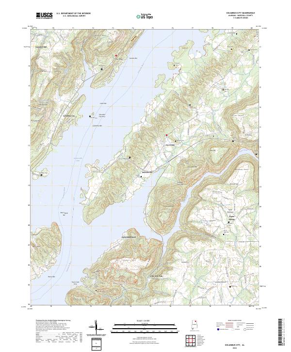
2024 Columbus City
Marshall County, AL
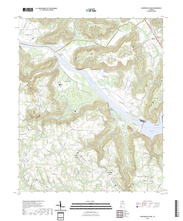
2024 Guntersville Dam
Marshall County, AL
2024 Mount Carmel
Marshall County, AL

2024 Newsome Sinks
Marshall County, AL
2024 Swearengin
Marshall County, AL