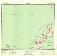
1951 Map of Umnak
USGS Topo · Published 1952About this map
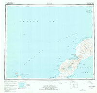
Okmok Caldera and the towering peak of Mt Vsevidof dominate this reconnaissance survey of the Aleutian chain, recorded shortly after the Second World War. The map details a landscape shaped by active geothermal forces, specifically noting the Geyser Bight and Hot Springs Cove on the western coast. This era of the Alaskan Territory is marked by a nascent military footprint, visible in the Air Force Base and surrounding Military Reservation Boundary on the island's northeast corner. Localized maritime and coastal features such as Cemetery Cove, Steeple Point, and Inanudak Bay provide specific points of reference for researchers and maritime historians. To the west, the Islands of the Four Mountains rise from the sea, including Uliaga Island and Kagamil Island, providing a clear record of the volcanic archipelago before further modern development.
Find a feature on this map
56 named features on this map. Tap any name to fly to it.
Don’t see what you’re looking for? This feature index may not catch every label — zoom into the map to look around manually.
Map Details
Editions of this 1951 Umnak Map
8 editions found
Other maps of this area

1951 · Unalaska
USGS Topo · 1:250,000

1951 · Amukta
USGS Topo · 1:250,000

1951 · Samalga Island
USGS Topo · 1:250,000

1951 · Umnak
USGS Topo · 1:250,000

1958 · Samalga Island
USGS Topo · 1:250,000

1958 · Umnak
USGS Topo · 1:250,000
2021 · Samalga Island D-6 OE E NW
USGS Topo · 1:25,000
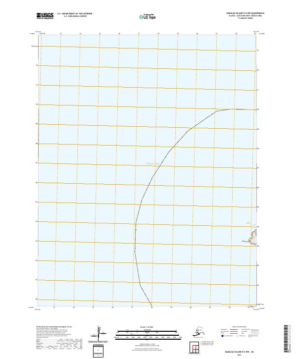
2021 · Samalga Island D-4 NW
USGS Topo · 1:25,000
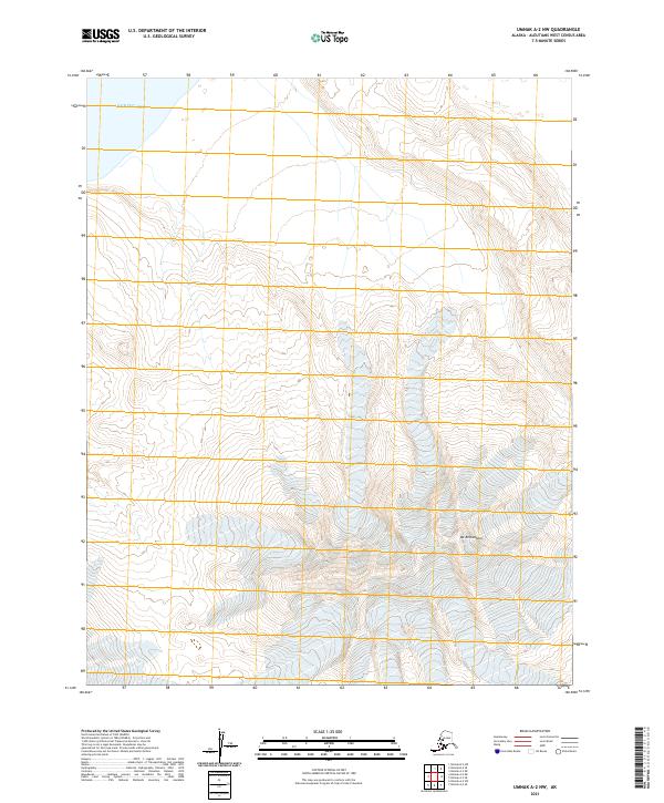
2021 · Umnak A-2 NW
USGS Topo · 1:25,000
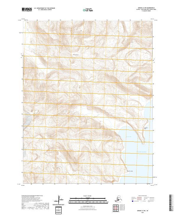
2021 · Umnak A-2 NE
USGS Topo · 1:25,000