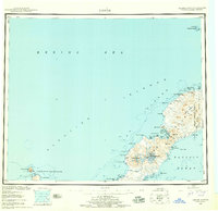
1951 Map of Umnak
USGS Topo · Published 1959About this map
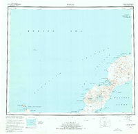
The volcanic architecture of Umnak Island dominates this mid-century survey, defined by the massive Okmok Caldera to the north and the towering peaks of Mt Vsevidof and Mt Recheshnoi to the south. During the early Cold War era, the island's eastern neck served a vital strategic role, evidenced by the Air Force Base and the proximity to Fort Glenn. The coastline is remarkably intricate, featuring sheltered waters such as Inanudak Bay and Russian Bay, along with smaller inlets like Hot Springs Cove and the somberly named Cemetery Cove. This map captures a landscape of extremes, from the geothermal activity at Boiling Pinnacles and the Weeping Wall to the isolated outposts at Camp and the Landing Area. Further out in the Bering Sea, the survey includes Bogoslof Island and Fire Island, reflecting the reach of the Aleutian Islands National Wildlife Refuge.
Find a feature on this map
58 named features on this map. Tap any name to fly to it.
Don’t see what you’re looking for? This feature index may not catch every label — zoom into the map to look around manually.
Map Details
Editions of this 1951 Umnak Map
8 editions found
Other maps of this area

1951 · Unalaska
USGS Topo · 1:250,000

1951 · Amukta
USGS Topo · 1:250,000

1951 · Samalga Island
USGS Topo · 1:250,000

1951 · Umnak
USGS Topo · 1:250,000

1958 · Samalga Island
USGS Topo · 1:250,000

1958 · Umnak
USGS Topo · 1:250,000
2021 · Samalga Island D-6 OE E NW
USGS Topo · 1:25,000
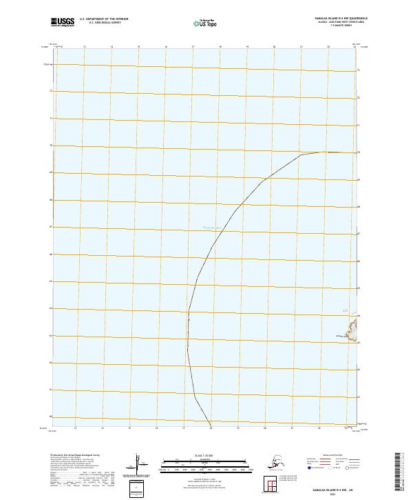
2021 · Samalga Island D-4 NW
USGS Topo · 1:25,000
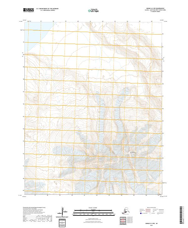
2021 · Umnak A-2 NW
USGS Topo · 1:25,000
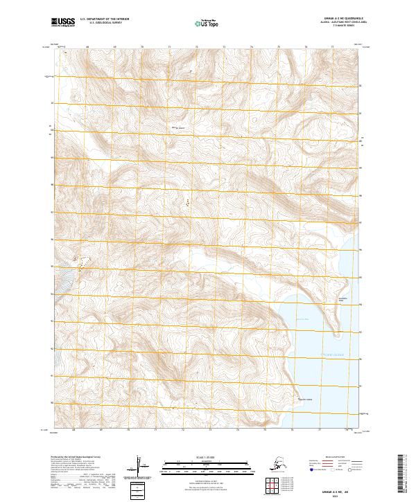
2021 · Umnak A-2 NE
USGS Topo · 1:25,000