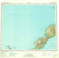
1951 Map of Umnak
USGS Topo · Published 1959About this map
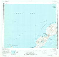
Volcanic formations and military land use define this 1951 survey of the Aleutian landscape, dominated by the massive Okmok Caldera and the towering peaks of Mt Vsevidof and Mt Recheshnoi. The northeastern end of the island is marked by the Fort Glenn Military Reservation Boundary, providing a clear record of mid-century strategic presence in the Pacific. Unique geothermal and hydrological features are named along the coast, including the Weeping Wall, Hot Springs Cove, and Boiling Pinnacles.
Find a feature on this map
57 named features on this map. Tap any name to fly to it.
Don’t see what you’re looking for? This feature index may not catch every label — zoom into the map to look around manually.
Map Details
Editions of this 1951 Umnak Map
8 editions found
Other maps of this area

1951 · Unalaska
USGS Topo · 1:250,000

1951 · Amukta
USGS Topo · 1:250,000

1951 · Samalga Island
USGS Topo · 1:250,000

1951 · Umnak
USGS Topo · 1:250,000

1958 · Samalga Island
USGS Topo · 1:250,000

1958 · Umnak
USGS Topo · 1:250,000
2021 · Samalga Island D-6 OE E NW
USGS Topo · 1:25,000
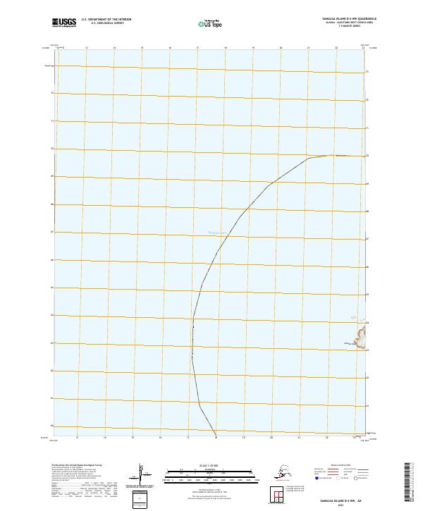
2021 · Samalga Island D-4 NW
USGS Topo · 1:25,000
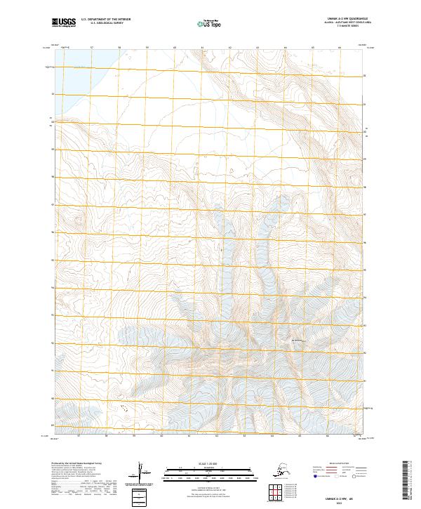
2021 · Umnak A-2 NW
USGS Topo · 1:25,000
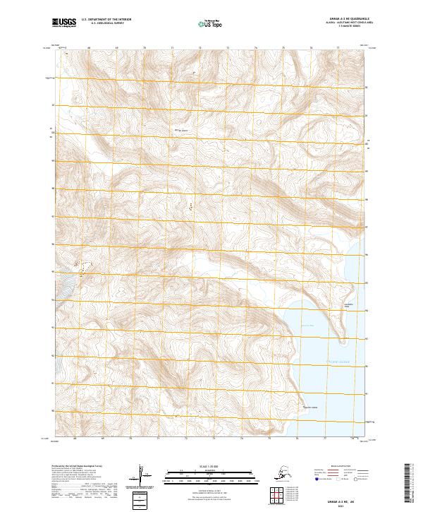
2021 · Umnak A-2 NE
USGS Topo · 1:25,000