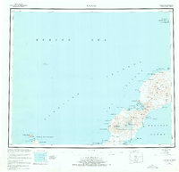
1951 Map of Umnak
USGS Topo · Published 1973About this map
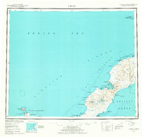
The massive Okmok Caldera dominates the northeastern reach of Umnak Island, its circular rim and the adjacent Tulik Vol marking a landscape of intense geothermal activity. This survey, compiled from hydrographic data and aerial photography between 1942 and 1948, captures the remote Aleutian geography as it was understood in the mid-20th century. Along the rugged coastline, small-scale human impacts are visible at a Camp near Cape Tanak and a Landing Area on the eastern shore. To the southwest, the terrain rises to the peaks of Mt Vsevidof and Mt Recheshnoi, while names like Geyser Bight and Hot Springs Cove suggest the hydrothermal features of the volcanic arc. Offshore, the map tracks the isolated Islands of Four Mountains, including Uliaga Island and Kagamil Island, and the protected waters of the Bogoslof National Wildlife Refuge to the north.
Find a feature on this map
70 named features on this map. Tap any name to fly to it.
Don’t see what you’re looking for? This feature index may not catch every label — zoom into the map to look around manually.
Map Details
Editions of this 1951 Umnak Map
8 editions found
Other maps of this area

1951 · Unalaska
USGS Topo · 1:250,000

1951 · Amukta
USGS Topo · 1:250,000

1951 · Samalga Island
USGS Topo · 1:250,000

1951 · Umnak
USGS Topo · 1:250,000

1958 · Samalga Island
USGS Topo · 1:250,000

1958 · Umnak
USGS Topo · 1:250,000
2021 · Samalga Island D-6 OE E NW
USGS Topo · 1:25,000
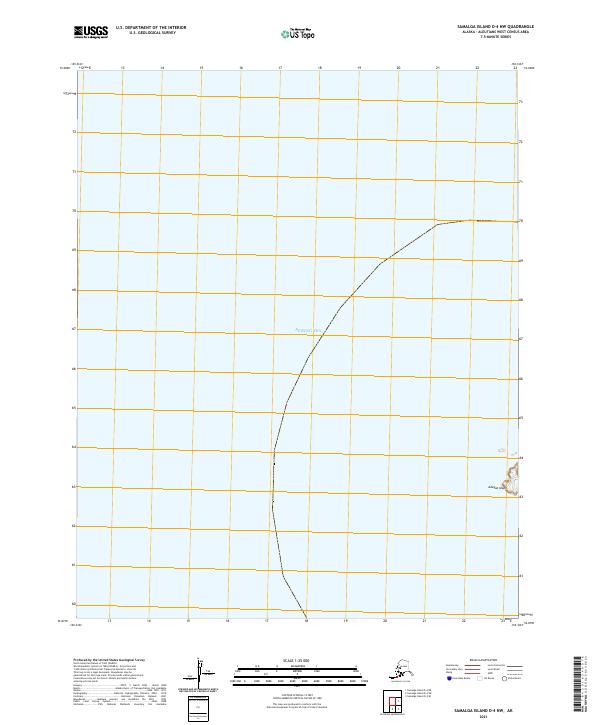
2021 · Samalga Island D-4 NW
USGS Topo · 1:25,000
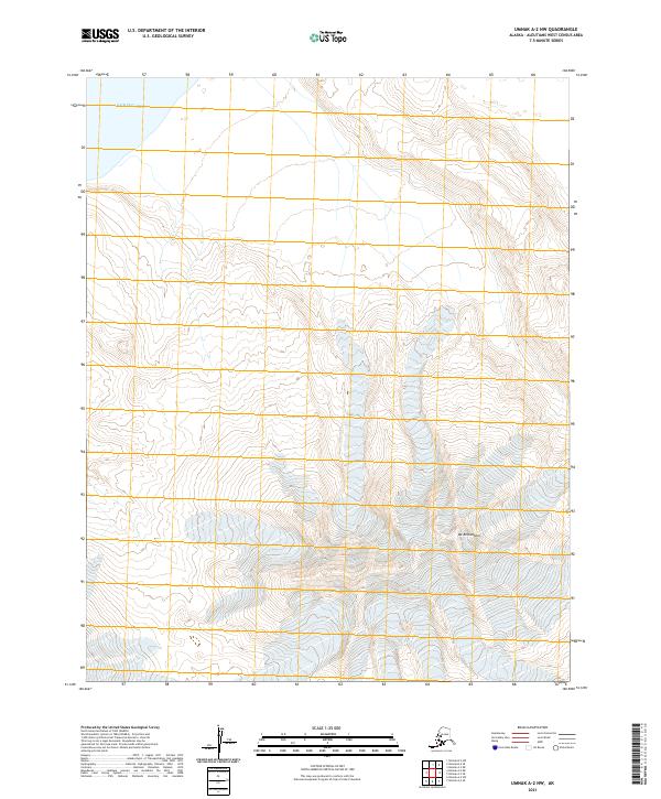
2021 · Umnak A-2 NW
USGS Topo · 1:25,000
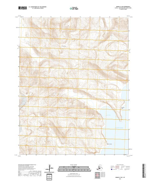
2021 · Umnak A-2 NE
USGS Topo · 1:25,000