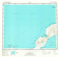
1951 Map of Umnak
USGS Topo · Published 1965About this map
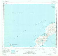
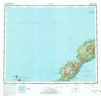
The volcanic backbone of the Aleutian Islands dominates this mid-century survey of Umnak, featuring the massive Okmok Caldera and the towering peak of Mt Vsevidof. To the northeast, the presence of an Air Force Base and a Military Reservation Boundary reflects the post-war strategic importance of the archipelago, including a Landing Area and a marked Camp.
Find a feature on this map
57 named features on this map. Tap any name to fly to it.
Don’t see what you’re looking for? This feature index may not catch every label — zoom into the map to look around manually.
Map Details
Editions of this 1951 Umnak Map
8 editions found
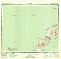
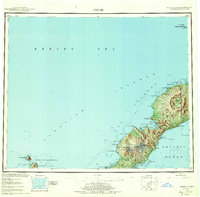
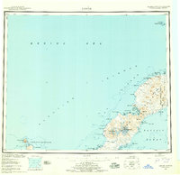
Other maps of this area

1951 · Unalaska
USGS Topo · 1:250,000

1951 · Amukta
USGS Topo · 1:250,000

1951 · Samalga Island
USGS Topo · 1:250,000

1951 · Umnak
USGS Topo · 1:250,000

1958 · Samalga Island
USGS Topo · 1:250,000

1958 · Umnak
USGS Topo · 1:250,000
2021 · Samalga Island D-6 OE E NW
USGS Topo · 1:25,000
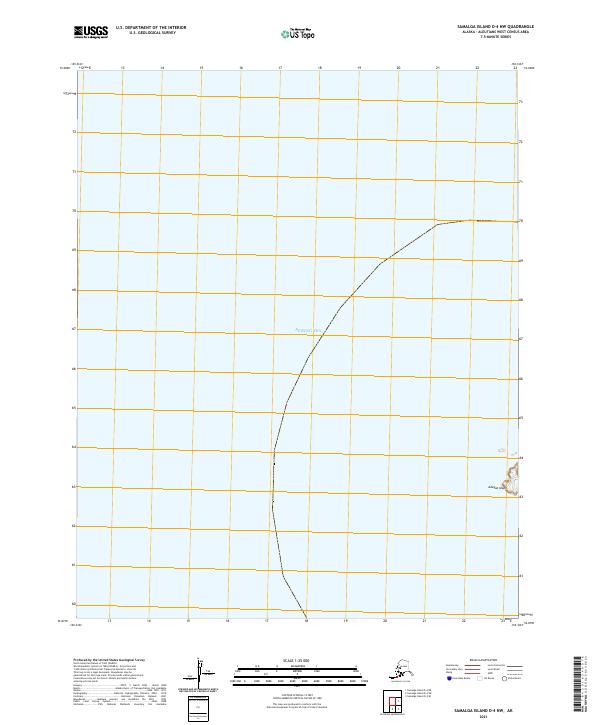
2021 · Samalga Island D-4 NW
USGS Topo · 1:25,000
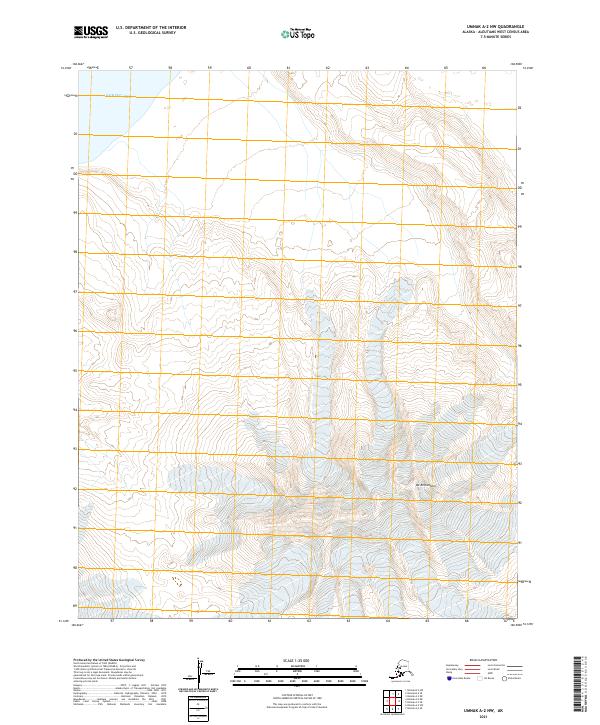
2021 · Umnak A-2 NW
USGS Topo · 1:25,000
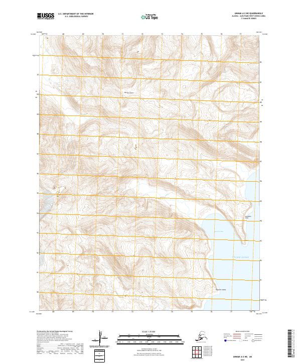
2021 · Umnak A-2 NE
USGS Topo · 1:25,000