
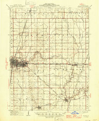
1906 Map of Urbana
USGS Topo · Published 1906About this map
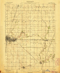
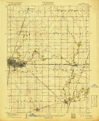
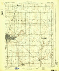
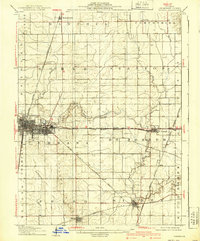
The burgeoning cities of Champaign and Urbana anchor this central Illinois landscape at the opening of the twentieth century. While the urban centers display an emerging street grid, the surrounding prairie is defined by a dense network of steam and electric railways. The Illinois Central and the Wabash RR bisect the territory, connecting isolated grain stops and rural communities like Thomasboro, Leverett, and Philo. This map reveals the transition of the region into a highly organized agricultural and transportation hub, with many small settlements and sidings appearing before the widespread adoption of the automobile.
Find a feature on this map
39 named features on this map. Tap any name to fly to it.
Don’t see what you’re looking for? This feature index may not catch every label — zoom into the map to look around manually.
Map Details
Editions of this 1906 Urbana Map
7 editions found
Other maps of this area

1907 · Mahomet
USGS Topo · 1:62,500

1924 · Paxton
USGS Topo · 1:62,500

1927 · Paxton
USGS Topo · 1:62,500

1928 · Gibson City
USGS Topo · 1:62,500

1931 · Fithian
USGS Topo · 1:48,000

1936 · Potomac
USGS Topo · 1:62,500

1943 · Fithian
USGS Topo · 1:62,500

1949 · Paxton
USGS Topo · 1:62,500

1950 · Tuscola
USGS Topo · 1:62,500

1953 · Danville
USGS Topo · 1:250,000