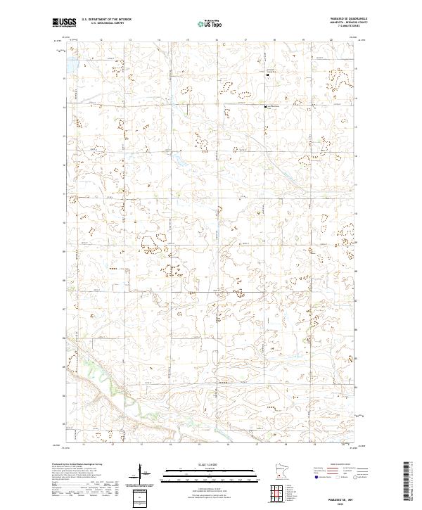
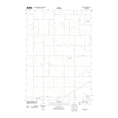
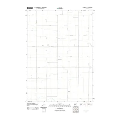
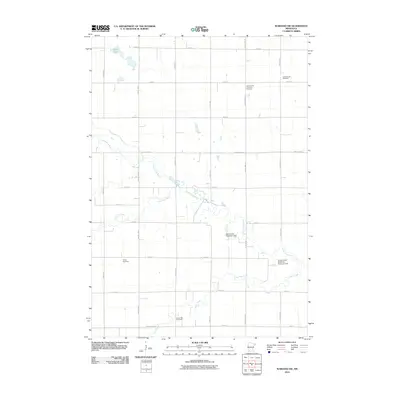
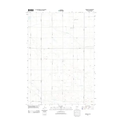
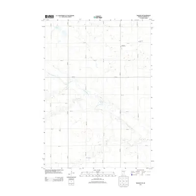
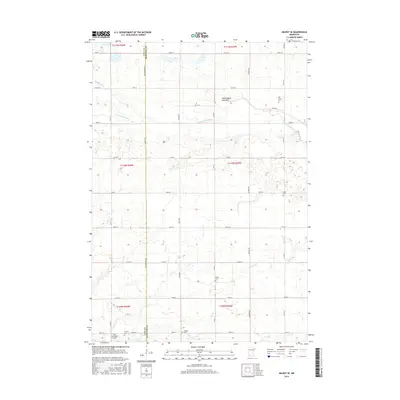
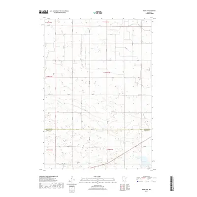
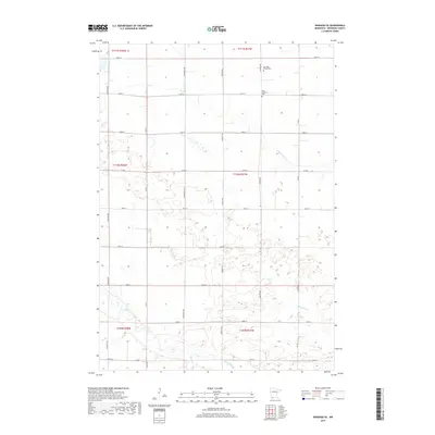
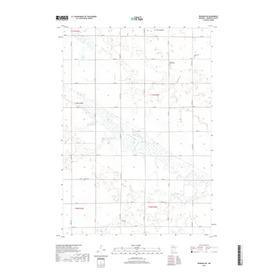
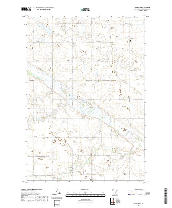
2022 Map of Wabasso SE
USGS Topo · Published 2022About this map
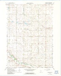
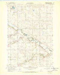
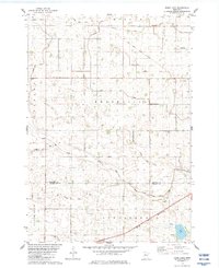
The Cottonwood River meanders across the southern reaches of this Redwood County landscape, joined by the waters of Pell Cr and Coal Mine Cr. This 2022 survey documents a strictly organized agricultural grid defined by corridors like Frontier Ave and Co Rd 7, where the geometric precision of the township and range system meets the natural drainage of Sleepy Eye Cr. For local historians and genealogists, the map identifies specific small-scale burial sites that anchor the area's rural history, including the Saint Matthews Cem and the more intimate Schwahn Family Plot. These features provide a clear view of how private family land use and communal religious spaces are preserved within the broader expanse of Minnesota's prairie farmland.
Find a feature on this map
28 named features on this map. Tap any name to fly to it.
Don’t see what you’re looking for? This feature index may not catch every label — zoom into the map to look around manually.
Map Details
Editions of this 2022 Wabasso SE Map
This is the sole edition of this map. No revisions or reprints were ever made.
Historical Maps of Redwood County Through Time
36 maps found
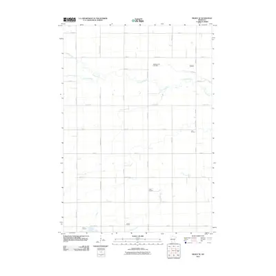
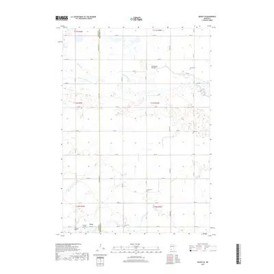
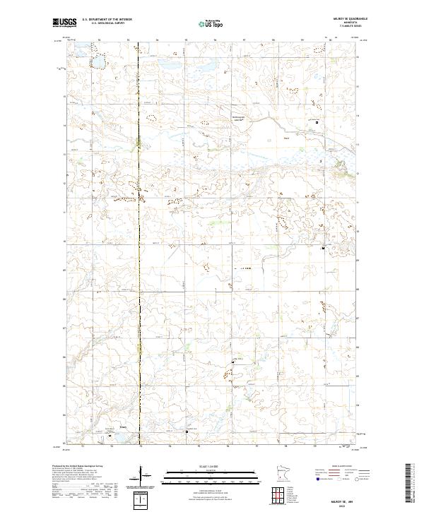
1962 Milroy SE
Redwood County, MN
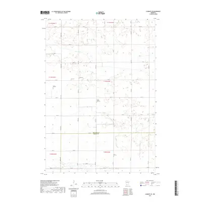
1967 Clements SE
Redwood County, MN
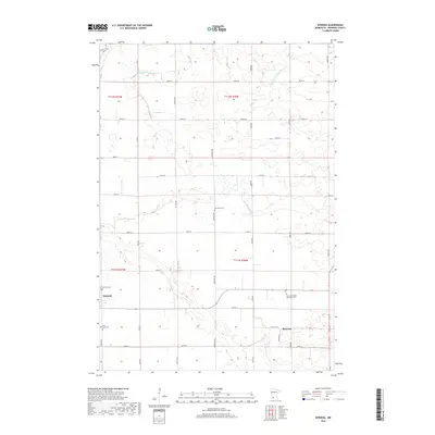
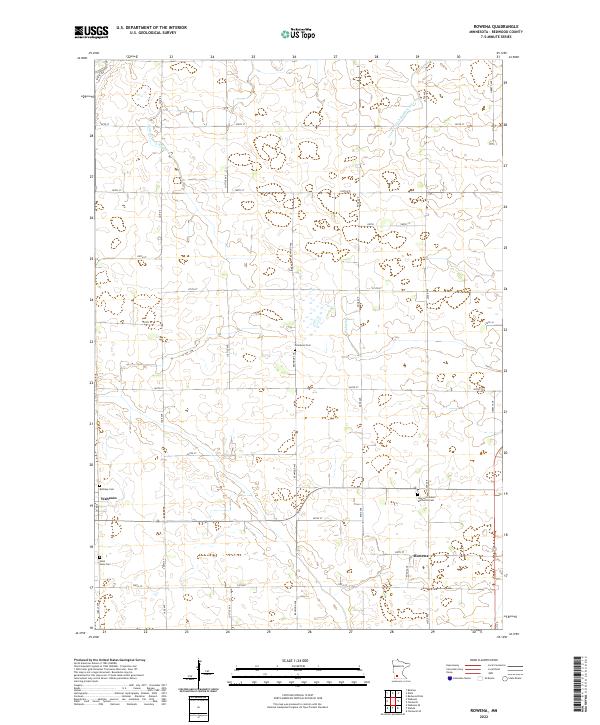
1967 Rowena
Redwood County, MN
1967 Wabasso SE
Redwood County, MN
1967 Wabasso SW
Redwood County, MN
1983 Boise Lake
Redwood County, MN
2010 Boise Lake
Redwood County, MN
2010 Clements SE
Redwood County, MN
2010 Milroy SE
Redwood County, MN
2010 Rowena
Redwood County, MN
2010 Wabasso SE
Redwood County, MN
2010 Wabasso SW
Redwood County, MN
2013 Boise Lake
Redwood County, MN
2013 Clements SE
Redwood County, MN

2013 Milroy SE
Redwood County, MN
2013 Rowena
Redwood County, MN
2013 Wabasso SE
Redwood County, MN
2013 Wabasso SW
Redwood County, MN
2016 Boise Lake
Redwood County, MN
2016 Clements SE
Redwood County, MN
2016 Milroy SE
Redwood County, MN
2016 Rowena
Redwood County, MN
2016 Wabasso SE
Redwood County, MN
2016 Wabasso SW
Redwood County, MN
2019 Boise Lake
Redwood County, MN
2019 Clements SE
Redwood County, MN
2019 Milroy SE
Redwood County, MN
2019 Rowena
Redwood County, MN
2019 Wabasso SE
Redwood County, MN
2019 Wabasso SW
Redwood County, MN
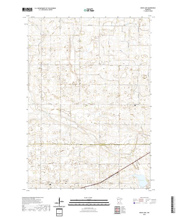
2022 Boise Lake
Redwood County, MN
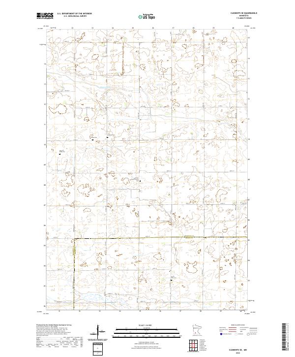
2022 Clements SE
Redwood County, MN
2022 Milroy SE
Redwood County, MN
2022 Rowena
Redwood County, MN
2022 Wabasso SE
Redwood County, MN
2022 Wabasso SW
Redwood County, MN