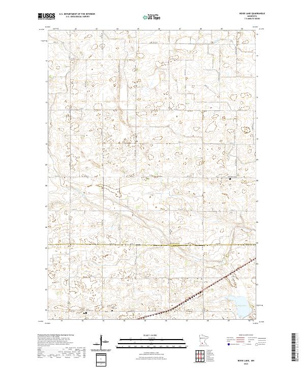
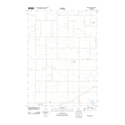
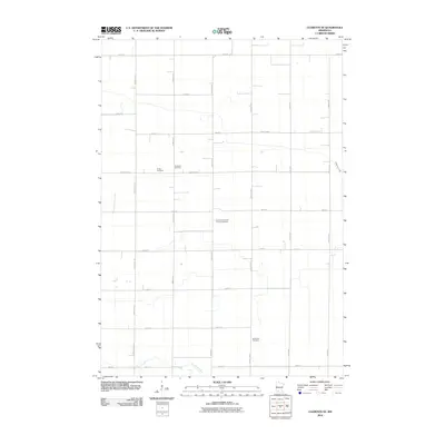
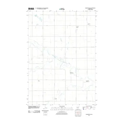
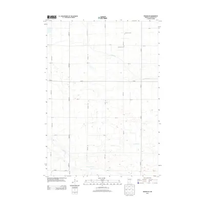
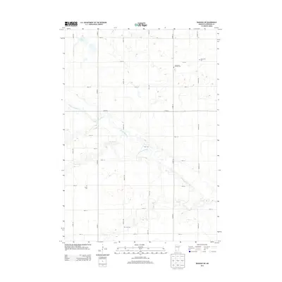
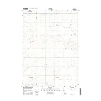
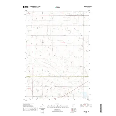
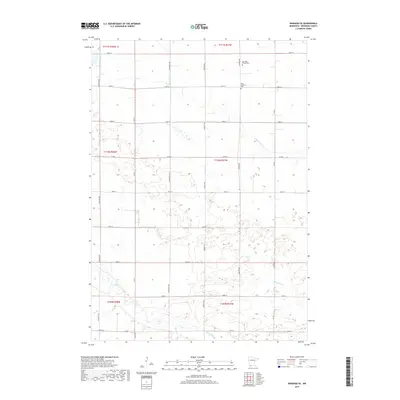
2022 Map of Boise Lake
USGS Topo · Published 2022About this map
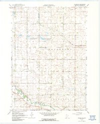
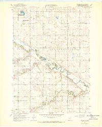
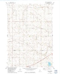
The agricultural landscape of Redwood and Brown Counties is defined by the shifting meanders of Sleepy Eye Cr and Spring Cr. This section of southwestern Minnesota reveals a pattern of rural settlement and faith through several clustered burial grounds, including Saint Raphael Cem, Saint Rachael Cem, and Saint Paul Cem, located near the southern boundary. To the east, the Dannebod Cem stands as a distinct landmark among the section lines. The topography is predominantly characterized by the Redwood Co Brown Co line, which bisects the southern reaches of the map near the namesake Boise Lake. A dense network of local roads such as Co Rd 4 and Co Rd 60 connects the disparate farmsteads and preserves the grid-based surveying system that has organized this prairie terrain for generations.
Find a feature on this map
29 named features on this map. Tap any name to fly to it.
Don’t see what you’re looking for? This feature index may not catch every label — zoom into the map to look around manually.
Map Details
Editions of this 2022 Boise Lake Map
This is the sole edition of this map. No revisions or reprints were ever made.
Historical Maps of Brown County Through Time
36 maps found
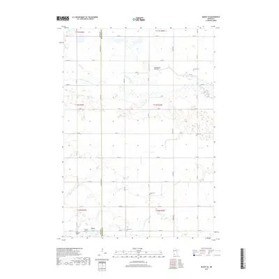
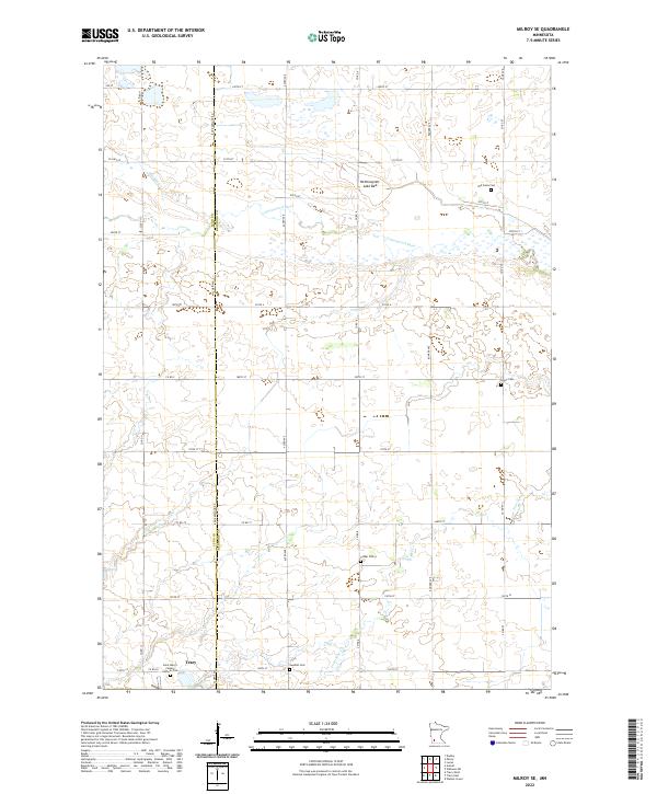
1962 Milroy SE
Redwood County, MN
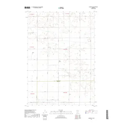
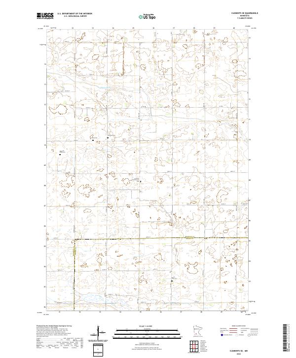
1967 Clements SE
Redwood County, MN
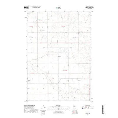
1967 Rowena
Redwood County, MN
1967 Wabasso SE
Redwood County, MN
1967 Wabasso SW
Redwood County, MN
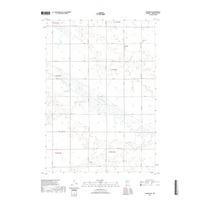
1983 Boise Lake
Redwood County, MN
2010 Boise Lake
Redwood County, MN
2010 Clements SE
Redwood County, MN
2010 Milroy SE
Redwood County, MN
2010 Rowena
Redwood County, MN
2010 Wabasso SE
Redwood County, MN
2010 Wabasso SW
Redwood County, MN
2013 Boise Lake
Redwood County, MN
2013 Clements SE
Redwood County, MN

2013 Milroy SE
Redwood County, MN
2013 Rowena
Redwood County, MN
2013 Wabasso SE
Redwood County, MN
2013 Wabasso SW
Redwood County, MN
2016 Boise Lake
Redwood County, MN
2016 Clements SE
Redwood County, MN
2016 Milroy SE
Redwood County, MN
2016 Rowena
Redwood County, MN
2016 Wabasso SE
Redwood County, MN
2016 Wabasso SW
Redwood County, MN
2019 Boise Lake
Redwood County, MN
2019 Clements SE
Redwood County, MN
2019 Milroy SE
Redwood County, MN
2019 Rowena
Redwood County, MN
2019 Wabasso SE
Redwood County, MN
2019 Wabasso SW
Redwood County, MN
2022 Boise Lake
Redwood County, MN
2022 Clements SE
Redwood County, MN
2022 Milroy SE
Redwood County, MN
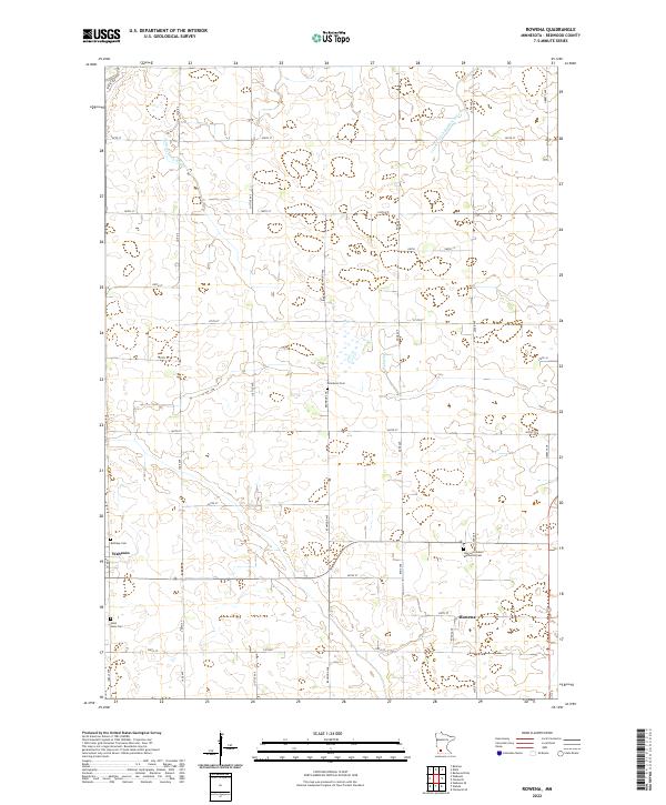
2022 Rowena
Redwood County, MN
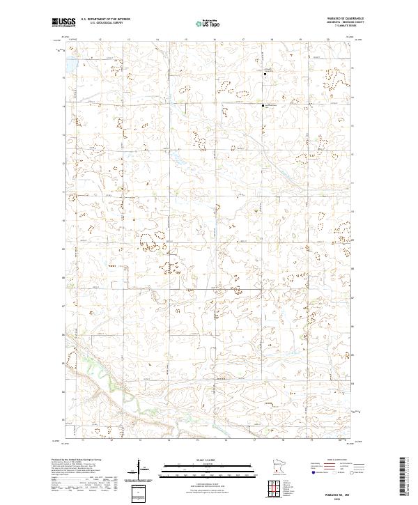
2022 Wabasso SE
Redwood County, MN
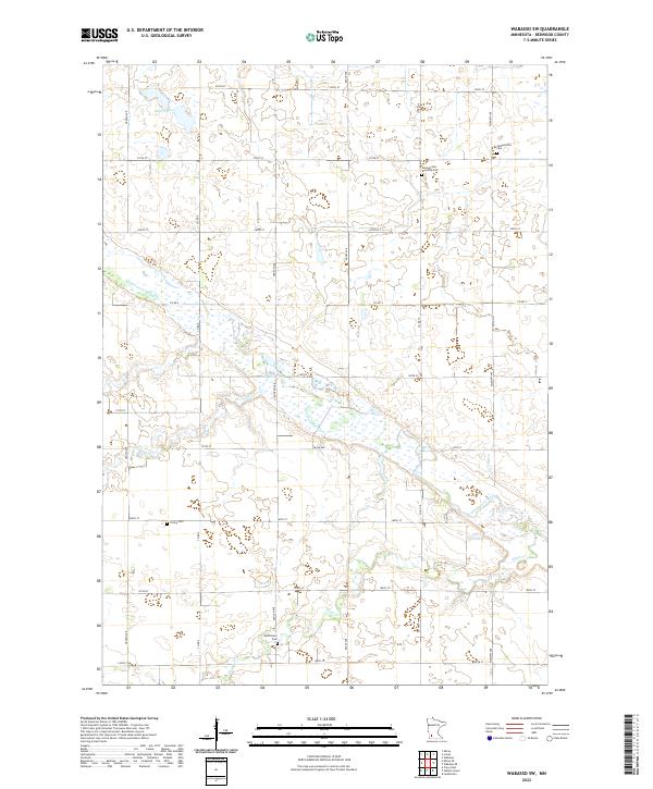
2022 Wabasso SW
Redwood County, MN