
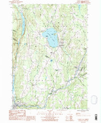
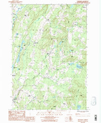
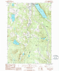
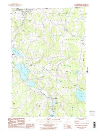
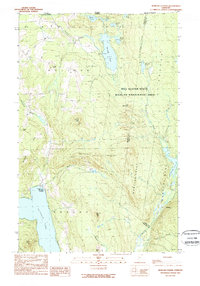
2024 Map of West Charleston
USGS Topo · Published 2024This historical map portrays the area of West Charleston in 2024, primarily covering Orleans County. Featuring a scale of 1:24000, this map provides a highly detailed snapshot of the terrain, roads, buildings, counties, and historical landmarks in the West Charleston region at the time. Published in 2024, it is the sole known edition of this map.
Map Details
Editions of this 2024 West Charleston Map
This is the sole edition of this map. No revisions or reprints were ever made.
Historical Maps of Derby Through Time
42 maps found

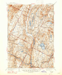
1919 Lake Memphremagog
Orleans County, VT

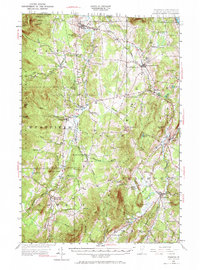
1920 Derby
Orleans County, VT

1920 Irasburg
Orleans County, VT

1923 Irasburg
Orleans County, VT

1923 Lake Memphremagog
Orleans County, VT

1925 Irasburg
Orleans County, VT

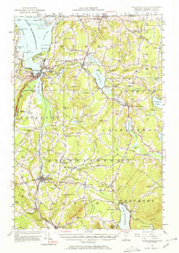
1925 Memphremagog
Orleans County, VT

1928 Hardwick
Orleans County, VT

1934 Hardwick
Orleans County, VT
1938 Hardwick
Orleans County, VT

1951 Hardwick
Orleans County, VT
1953 Irasburg
Orleans County, VT
1953 Memphremagog
Orleans County, VT

1978 Beebe Plain Station
Orleans County, VT

1978 Derby Line Port of Entry
Orleans County, VT

1978 East of North Troy Station
Orleans County, VT

1978 North Troy Station
Orleans County, VT

1978 West of Norton Port of Entry
Orleans County, VT

1986 Albany
Orleans County, VT
1986 Caspian Lake
Orleans County, VT
1986 Craftsbury
Orleans County, VT
1986 Crystal Lake
Orleans County, VT

1986 Irasburg
Orleans County, VT

1986 Lowell
Orleans County, VT
1986 West Charleston
Orleans County, VT

1986 Westmore
Orleans County, VT
1989 Morgan Center
Orleans County, VT

1989 Mount Mansfield
Orleans County, VT

2024 Albany
Orleans County, VT

2024 Caspian Lake
Orleans County, VT

2024 Craftsbury
Orleans County, VT

2024 Crystal Lake
Orleans County, VT

2024 Irasburg
Orleans County, VT

2024 Lowell
Orleans County, VT

2024 Morgan Center OE N
Orleans County, VT

2024 Morgan Center
Orleans County, VT
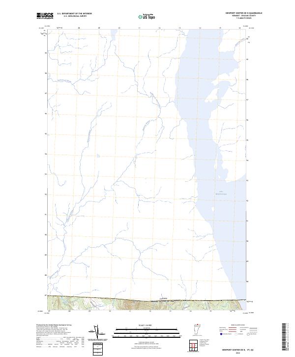
2024 Newport Center OE N
Orleans County, VT

2024 Newport OE N
Orleans County, VT

2024 North Troy OE N
Orleans County, VT

2024 West Charleston OE N
Orleans County, VT
2024 West Charleston
Orleans County, VT

2024 Westmore
Orleans County, VT