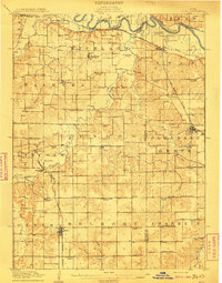
1910s Maps of the United States
Explore 3,527 historic maps of the United States from the 1910s. These maps offer a rare glimpse into what life looked like during the 1910s — showing old roads, neighborhoods, homes, and landmarks that have changed or disappeared over time.
Whether you're researching your family's past, planning a metal detecting trip, or studying how the United States's landscape evolved across the 1910s, these high-resolution maps are a powerful tool for exploring the history of this region.
- Focus on a specific era: All maps on this page are from the 1910s, giving you a focused view of this time period.
- See what’s changed: Compare century-old streets, trails, and buildings to today's modern landscape using overlays and satellite layers.
- Research with precision: Use these maps for genealogy, historical research, land use analysis, or educational projects.
- View, download, or print: Maps are fully viewable online in high resolution, and can be downloaded or printed for your own records.
Start exploring the United States's history through authentic maps from the 1910s. This is your window into the past.
United States maps
- 1910 Map of New Hope
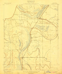
 1910 New Hope1910 Print · USGSThe California Delta at the start of the twentieth century was a complex network of reclaimed islands and vital waterways. Genealogists and local historians can trace the early community at New Hope and its New Hope School, or locate landings along the Mokelumne River.2 unique versions available
 - 1910 Map of Rock Springs
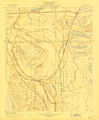
 1910 Rock Springs1910 Print · USGSRock Springs and the surrounding high desert are captured here during a pivotal era of railroad expansion and mining growth. Researchers can trace the early layout of Rock Springs and Blairtown or locate smaller outposts like Gunn and Baxter along the Union Pacific line.3 unique versions available
 - 1910 Map of Zillah
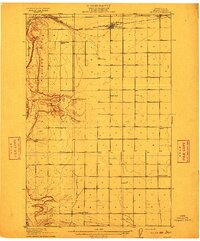
 1910 Zillah1910 Print · USGSThe Yakima River valley was transforming into an agricultural hub in the early 1900s as irrigation projects expanded. Researchers can trace the path of the Northern Pacific railroad through Toppenish and Wapato, or locate early sites like the Sawmill and Bluelight.3 unique versions available
 - 1910 Map of Ramapo
 1910 Ramapo1910 Print · USGSThe Ramapo Valley at the turn of the century served as a vital transit corridor between New York and New Jersey, dominated by rail lines and river industry. Genealogists and local historians can trace the foundations of Sloatsburg, Suffern, and Pearl River, alongside landmarks like the Ramapo Cem. and the Powder Works.6 unique versions available
 - 1910 Map of Danforth Hills
 1910 Danforth Hills1910 Print · USGSNorthwest Colorado is surveyed here in the early 1900s, showing a landscape defined by the rugged Danforth Hills and the early ranching outposts of Routt and Rio Blanco counties. Genealogists can locate family holdings like Edinger's Ranch and Maudlin's Ranch or trace the early post offices at Lay PO and Hamilton PO.
 - 1910 Map of Mound
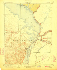
 1910 Mound1910 Print · USGSMadison Parish in the early 1900s shows a landscape of productive riverbottom plantations and railroad commerce. Genealogists can trace family holdings and rural landmarks like California Plantation, Thomastown, and the Indian Mounds near the local rail siding.2 unique versions available
 - 1910 Map of Sheridan
 1910 Sheridan1910 Print · USGSNear the Placer and Sutter county line in the early 1900s, this area was a landscape of historic land grants and vital rail links. Genealogists and historians can trace the tracks of the S. P. R. R. (Marysville Line) past Sheridan and locate the rural Fairview School.2 unique versions available
 - 1910 Map of Bisbee
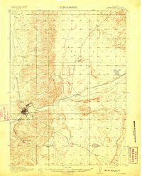
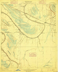
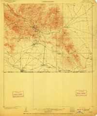 1910 Bisbee1910 Print · USGSMining and ranching define this Cochise County landscape in the early 1900s as Bisbee booms in the Mule Mountains. Researchers can trace the El Paso and Southwestern RR past Don Luis to the border at Naco, identifying family ranch sites like Browns Ranch and Forrests Ranch along the way.2 unique versions available
 - 1910 Map of Clay
 1910 Clay1910 Print · USGSWest Virginia's coal and timber country comes alive in this survey of the Elk River valley just after the turn of the century. Genealogists and historians can trace the early rail networks of the Coke and Coke RR and locate vanished rural hubs like Yankee Dam PO and Triplett School.3 unique versions available
 - 1910 Map of New Kensington
 1910 New Kensington1910 Print · USGSThe industrial Allegheny River corridor and its rugged hinterlands come alive in this 1910 survey of the Westmoreland and Butler County borders. Genealogists and historians can trace family roots through labels for Sandy Hill School, Clinton Church, and the settlement at Saxonburg.7 unique versions available
 - 1910 Map of Jensen
 1910 Jensen1910 Print · USGSThe Utah-Colorado borderlands come alive in the first decade of the twentieth century, showing the early development of the Uinta Basin. Genealogists and historians can locate early river crossings at the ferry sites near Jensen or trace the road to Dragon Stage Road.2 unique versions available
 - 1910 Map of Lincoln
 1910 Lincoln1910 Print · USGSPlacer County's lower foothills and agricultural plains are captured here just after the turn of the century. You can trace the path of the Southern Pacific (Marysville Line) through early settlements like Sheridan and Lincoln, and locate the old Fairoaks School.2 unique versions available
 - 1910 Map of Pineville
 1910 Pineville1910 Print · USGSWyoming County at the dawn of the twentieth century was a landscape of deep hollows and high ridges connected by the Guyandot River. Genealogists can trace family footprints in early settlements like Baileysville, Oceana, and near the old McDonald Mill.2 unique versions available
 - 1910 Map of Dundee
 1910 Dundee1910 Print · USGSTunica County at the peak of the Delta rail era is captured here, centered on the Yazoo and Mississippi Valley R. R. corridor. Researchers can trace family-named sites like Cockes Store and old community hubs including Oakgrove Church and Dundee.
 - 1910 Map of Coahoma
 1910 Coahoma1910 Print · USGSCoahoma County at the start of the twentieth century was a landscape of winding bayous and expanding rail lines. Genealogists and historians can trace the foundations of local commerce at Coahoma, King & Anderson's, and along the Sheriff Ridge Road.
 - 1910 Map of Quincy
 1910 Quincy1910 Print · USGSGrant County is captured in a moment of early expansion as homesteaders settled the basin during the first decade of the century. Genealogists can trace family roots through numerous rural landmarks like Evergreen School, Burke, and Haywood School.4 unique versions available
 - 1910 Map of Castle
 1910 Castle1910 Print · USGSThe northern San Joaquin Valley was a landscape of transit and territory during the first decade of the twentieth century. Genealogists and historians can trace the exact routes of Cherokee Lane and the legacy of the Campo De Los Franceses land grant.2 unique versions available
 - 1910 Map of Fish Springs
 1910 Fish Springs1910 Print · USGSWestern Utah's high desert and isolated mining districts are mapped here in the early twentieth century, showing a landscape of remote ranching and rugged mineral claims. Local historians can trace family-named outposts like Meecham's Ranch and Thomas' Ranch or locate the Queen of Sheba Mine and Fish Springs.6 unique versions available
 - 1910 Map of Eaton
 1910 Eaton1910 Print · USGSNorthern Colorado at the turn of the century shows a landscape transformed by railroads and early irrigation projects. Genealogists can locate many family-named landmarks like Slaxton Ranch and rural schoolhouses including Abbot School and Birch School.3 unique versions available
 - 1910 Map of Rio Vista
 1910 Rio Vista1910 Print · USGSThe Sacramento River delta in the early twentieth century was a complex network of island farms and winding waterways. Genealogists and historians can trace old settlements like Rio Vista and Newtown, or locate the specific Blacksmith Shop in the foothills.2 unique versions available
 - 1910 Map of Bald Knob
 1910 Bald Knob1910 Print · USGSSouthern West Virginia in the early twentieth century was a landscape of remote mountain gaps and emerging rail corridors. Genealogists and historians can trace early settlements like Jarrolds Valley and Van, or locate historic crossing points like Walnut Gap and Indian Gap.2 unique versions available
 - 1910 Map of McComb
 1910 McComb1910 Print · USGSPottawatomie County was still transitioning from territorial days when this survey recorded its burgeoning rail towns and rural school districts. Researchers can find early landmarks like Solomons Temple School and Tribbey, or trace the path of the AT&SF RR through the local landscape.2 unique versions available
 - 1910 Map of Macon
 1910 Macon1910 Print · USGSMacon County's rural landscape is captured here in the decade before the Great War, showing a territory defined by railroad towns and isolated river mills. Genealogists can trace family roots through numerous country landmarks like Blees Military Academy, Levick Mill, and the Bear Thicket School.
 - 1910 Map of Herrin
 1910 Herrin1910 Print · USGSSouthern Illinois thrived at the height of its rail-and-coal era, with this 1910 survey capturing a landscape of growing towns and industrial spurs. Genealogists and historians can trace family roots through localized sites like Dewmaine, Old Duquoin, and the Oak Grove School.2 unique versions available
 - 1910 Map of Milo
 1910 Milo1910 Print · USGSWarren and Marion counties are captured here at the height of their early 20th-century rural development, before the modernization of the road network. Genealogists can trace family footprints through numerous country schools like Prairie Creek School and the river-crossing at Hammondsburg Bridge.2 unique versions available
Showing maps 1-25
Top regions of the United States
- California historical maps
- Texas historical maps
- Florida historical maps
- New York historical maps
- Pennsylvania historical maps
- Illinois historical maps
See more
Top cities of the United States
- New York historical maps
- Los Angeles historical maps
- Chicago historical maps
- Houston historical maps
- Phoenix historical maps
- Philadelphia historical maps
See more
Frequently asked questions
- What are the different types of historical maps available for United States?
- What is the oldest map of United States?
- Where can I purchase historical maps of United States for my home or office?
- Where can I download high-res historical maps of United States?
- Are there historical topographic maps available for United States?
- Is there historical aerial imagery available for United States?
- Where are historical maps of United States sourced from?