1980s Maps of the United States
Explore 19,296 historic maps of the United States from the 1980s. These maps offer a rare glimpse into what life looked like during the 1980s — showing old roads, neighborhoods, homes, and landmarks that have changed or disappeared over time.
Whether you're researching your family's past, planning a metal detecting trip, or studying how the United States's landscape evolved across the 1980s, these high-resolution maps are a powerful tool for exploring the history of this region.
- Focus on a specific era: All maps on this page are from the 1980s, giving you a focused view of this time period.
- See what’s changed: Compare century-old streets, trails, and buildings to today's modern landscape using overlays and satellite layers.
- Research with precision: Use these maps for genealogy, historical research, land use analysis, or educational projects.
- View, download, or print: Maps are fully viewable online in high resolution, and can be downloaded or printed for your own records.
Start exploring the United States's history through authentic maps from the 1980s. This is your window into the past.
United States maps
- 1980 Map of Omaha
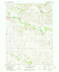
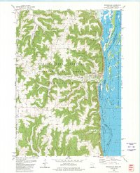
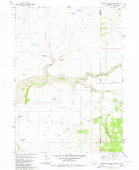
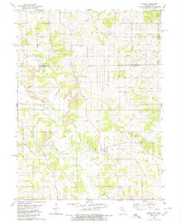 1980 Omaha1980 Print · USGSThe Missouri-Iowa border comes into focus in the late 1970s, showing a rural landscape shaped by agriculture and coal. Researchers can trace family history through several burial sites like Mitchell Cem and Summers Cem or locate the Strip Mines near Omaha.
 - 1980 Map of Otwell
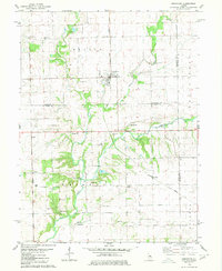
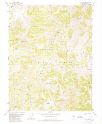
 1980 Otwell1980 Print · USGSOtwell and the surrounding Arkansas Delta are captured here in the late 1970s as a landscape of managed waterways and rail transport. Researchers can trace the St Louis Southwestern tracks past Otwell Cem and explore the irrigation networks of Big Creek Ditch and Claypool Reservoir.
 - 1980 Map of Parkston SE
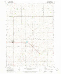
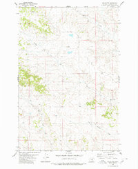
 1980 Parkston SE1980 Print · USGSHutchinson County is captured here in the 1980s, showcasing a rural landscape defined by township boundaries and prairie sloughs. Genealogists can locate family-linked sites like Kulm Cem, Kulm Sch, and Hoffnungstahl Cem.
 - 1980 Map of Cambria
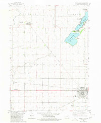
 1980 Cambria1980 Print · USGSNiagara County in the early eighties shows a mix of Cold War military presence and educational growth. Researchers can trace the layout of the Lockport Air Force Station, find St Peters Ch, or explore the CONRAIL rail corridor.
 - 1980 Map of Capehart Lake
 1980 Capehart Lake1980 Print · USGSHarney County's high desert is captured here in the early eighties, showcasing a remote landscape of volcanic buttes and seasonal basins. Trace the movement of early travelers and ranchers through Kellogg Waterhole, Lookout Butte, and the diagonal Jeep Trail.
 - 1980 Map of Owl Tank Canyon West
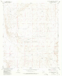 1980 Owl Tank Canyon West1980 Print · USGSThe high desert of Otero County is captured here in the 1970s, showcasing the intersection of military training grounds and ranching history. Researchers can trace vital desert water sources like Foster Ranch Tanks, Childs Tank, and the winding Owl Tank Canyon.
 - 1980 Map of Port Wing
 1980 Port Wing1980 Print · USGSThe Lake Superior shoreline and the deep forests of Bayfield and Douglas counties are captured here in the early eighties. Genealogists and historians can trace the rail lines through Iron River or locate the lakeside landings at Cornucopia and Port Wing.
 - 1980 Map of Bay Minette North
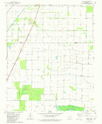
 1980 Bay Minette North1980 Print · USGSBay Minette and Stockton are captured during a period of steady growth in 1980, centered around the Louisville and Nashville rail line. Genealogists can locate family landmarks like Stockton Memorial Cem and Greater St John Ch.
 - 1980 Map of Arroyo Huisache
 1980 Arroyo Huisache1980 Print · USGSZapata County ranching and energy exploration are captured here in the late seventies. Family-named landmarks like Lobitas Tank and Adame Tank can be traced alongside the rural settlement of Bustamante and its local Cem.
 - 1980 Map of Lytton
 1980 Lytton1980 Print · USGSThe border of Sac and Calhoun counties comes into focus in the 1970s, centered on the railroad town of Lytton. Genealogists and local historians can locate St John Cem, Garfield Cem, and the path of the Chicago Milwaukee St Paul and Pacific line.
 - 1980 Map of Hagarville
 1980 Hagarville1980 Print · USGSHagarville and its surrounding mountain hollows are shown in detail during the late 1970s. Genealogists can trace family landmarks and burial sites including Adkins Cem, Russell Cem, and Minnow Creek Cem, alongside old rural churches like Lees Chapel.
 - 1980 Map of Union Mills
 1980 Union Mills1980 Print · USGSMahaska County, Iowa, is captured here in the late twentieth century as a landscape of steady agricultural tradition and quiet townships. Researchers can trace local lineage through several burial sites including Union Mills Cem, Mormon Point Cem, and Roberts Cem near the North Skunk River.
 - 1980 Map of Armington
 1980 Armington1980 Print · USGSThe rural borderlands of Tazewell and Logan counties are captured here in the late seventies. Family historians can trace several pioneer burial sites, including Oak View Cem and Miller Cem, alongside the Illinois Terminal rail line.
 - 1980 Map of Richmond
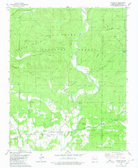
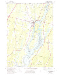 1980 Richmond1980 Print · USGSThe Kennebec River corridor comes alive in the early 1980s, documenting a landscape of tidal flats and riverfront settlements. Researchers can trace family lines through numerous burial grounds like Maple Grove Cem or locate the historic river crossings near Iceboro and Swan Island.2 unique versions available
 - 1980 Map of Fort Rock Ranch
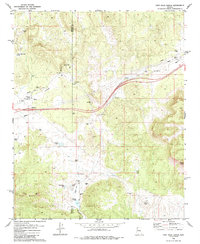 1980 Fort Rock Ranch1980 Print · USGSArizona's ranching frontier at the border of Mohave and Yavapai counties is detailed in the late 1970s. Trace local history through family-named landmarks like Carl F Well and Fort Rock Ranch, or locate remote Ruins and a lone Grave.2 unique versions available
 - 1980 Map of Dry Mountain NW
 1980 Dry Mountain NW1980 Print · USGSThe high country of Pershing County is captured here in the late 1970s, where the mountain peaks meet the desert floor. Map collectors and historians can trace the Western Pacific rail line or locate the remote Arcturus Mine and the Flowing Wells at the edge of the Black Rock Desert.
 - 1980 Map of Brownsville
 1980 Brownsville1980 Print · USGSThe Mississippi River valley near Brownsville comes alive in this 1980 survey, showing the intricate sloughs and ridges of the region. Trace local history at St Patricks Cem, Townhall, and along the Chicago Milwaukee St Paul and Pacific railroad.
 - 1980 Map of Arc Dome
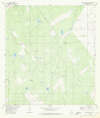
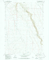
 1980 Arc Dome1980 Print · USGSThe Toiyabe Range high country is captured here in the late 1970s, showcasing a wilderness of deep canyons and prominent summits. Researchers can trace the Pack Trail network past the Upper Corral, the Reese River headwaters, and several remote Prospects.3 unique versions available
 - 1980 Map of Mud Butte
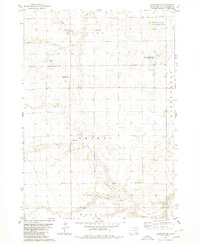
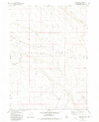
 1980 Mud Butte1980 Print · USGSYellowstone County, Montana, is captured here in the late seventies as a landscape of wide-open ranch land and vital water sources. Researchers can locate specific water improvements including several Wells, a Spring, and the drainage of Mud Butte and Mill Creek.
 - 1980 Map of Rockwell City
 1980 Rockwell City1980 Print · USGSRockwell City and its surrounding lake country are captured here in the late 1970s, showcasing a landscape of prairie townships and rail-side grain stops. Researchers can trace family roots at Crown Hill Cem or locate community landmarks like the Drive-in Theater and Fairground.
 - 1980 Map of Brewster Reservoir
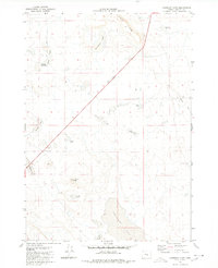
 1980 Brewster Reservoir1980 Print · USGSThe high-desert ranchlands along the Oregon-Idaho border are captured here in the 1970s, as the North Fork Owyhee River winds through deep canyons. Researchers can trace remote cattle operations like Brewster Ranch and Circle Bar Ranch or locate isolated water features like Mule Lake Reservoir.2 unique versions available
 - 1980 Map of Eulonia
 1980 Eulonia1980 Print · USGSMcIntosh County’s coastal wetlands and timber lands are captured here in the late twentieth century, showing the transition from rail-side hamlets to riverside communities. Researchers can trace family sites and local history at Mc Intosh Cem, Shorter Chapel, and the community at Bellville Point.
 - 1980 Map of Fond Du Lac
 1980 Fond Du Lac1980 Print · USGSThe Fox River Valley and Horicon Marsh meet here during the late twentieth century, showing a transition from lakeside industry to glacial conservation. Genealogists can locate family sites at Estabrook Cem or trace the rail lines through Ripon and Waupun.
 - 1980 Map of Juniper Butte
 1980 Juniper Butte1980 Print · USGSOwyhee County ranching and desert lands are captured here in the late seventies, showing the vast plateau of the Inside Desert. Researchers can trace old stock routes and remote landmarks like Juniper Butte, Juniper Lake, and the winding East Fork Bruneau Canyon.
 - 1980 Map of Crows Nest
 1980 Crows Nest1980 Print · USGSOwyhee County's high desert landscape is documented here in the early 1980s, showcasing the remote infrastructure of the Bruneau Desert. Researchers can trace old routes like Balanced Rock Road and locate remote water sources such as Guerry Tank and Yellow Tank.
Showing maps 1-25
Top regions of the United States
- California historical maps
- Texas historical maps
- Florida historical maps
- New York historical maps
- Pennsylvania historical maps
- Illinois historical maps
See more
Top cities of the United States
- New York historical maps
- Los Angeles historical maps
- Chicago historical maps
- Houston historical maps
- Phoenix historical maps
- Philadelphia historical maps
See more
Frequently asked questions
- What are the different types of historical maps available for United States?
- What is the oldest map of United States?
- Where can I purchase historical maps of United States for my home or office?
- Where can I download high-res historical maps of United States?
- Are there historical topographic maps available for United States?
- Is there historical aerial imagery available for United States?
- Where are historical maps of United States sourced from?